AUSTIN, Texas — As Texans brace for an extensive construction project on Interstate 35 in Downtown Austin, some groups are shifting their focus to the west.
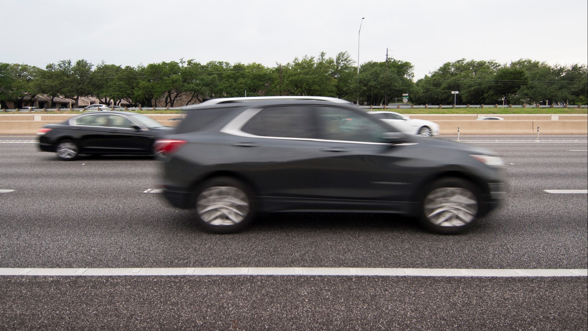
MoPac between U.S. 183 and Loop 360 is already viewed as one of the most congested stretches of roadways in Texas. Now the MoPac South Project has released a new study showing what driving on MoPac in 2045 would look like between Cesar Chavez Street and Slaughter Lane.
The good news is that experts say their projections have shifted partially because of population trends in Central Texas.
MoPac 2035 vs. 2045
According to the Capital Area Metropolitan Planning Organization, projected traffic times in 2035 on the approximately 8-mile southern stretch of MoPac were more than 50 minutes in both directions. While that projected number dropped to about 20 minutes in 2045, experts say it's still a projected increase of up to 42% in travel times compared to 2022.
Officials with the Central Texas Regional Mobility Authority pointed to the booming population in Hays County as a reason traffic issues on MoPac wouldn't be as exacerbated. They also stated that planned improvements to Loop 360 and adding HOV lanes to I-35 were key to reducing projected traffic times.
What does the future of MoPac look like?
One of the project's main goals is to create reliable traffic times while also being able to facilitate a reliable emergency response.
According to the study, express lanes provide the best benefits to all drivers and would reduce travel times during peak periods to less than 10 minutes.
"I was born and raised here, so I have seen it go from when there hardly was even a thought of MoPac to now such a major thoroughfare," Susan Gorishek said.
Gorishek travels on MoPac frequently. She said she would be in favor of the express lanes.
"I use the expressways on the north part of Mopac heading now, especially a set time of day. I would use them here as well, yeah, for sure," Gorishek said.
The project evaluated multiple options to solve congestion on the MoPac South corridor with the following operational configurations developed to ease traffic connections into Downtown Austin:
- 1A: One alternative lane with a downtown direct connection
- 1B: One alternative lane without a downtown direct connection
- 2A: Two alternative lanes with a downtown direct connection
- 2B: Two alternative lanes without a downtown direct connection
- 2C: Two alternative lanes with elevated ramps near Barton Skyway
- 3: The City of Austin's plan for moving elevated ramps south near Barton Skyway with "collector distributors"
Options 1A and 2A faced concerns about how close the alternative lanes would be to the Austin High School entrance. Meanwhile, Option 3 would require wider bridges and an additional right-of-way through Zilker Park, which was not supported during comments on several open house sessions.
Several steps remain before a public hearing on changes to MoPac can be held. Officials also told KVUE that the Mobility Authority is gathering data on the effects of the new traffic pattern on southbound MoPac following the Barton Skyway Ramp Relief Project, which could change future projections.

