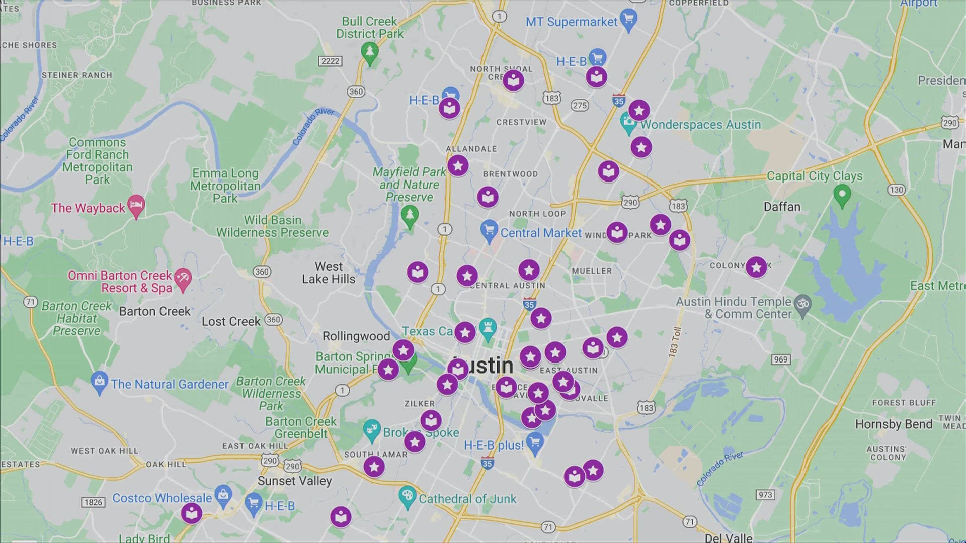
AUSTIN, Texas — The City of Austin has compiled a list of cooling centers that people can access at a click of a button.
“We are looking at ways – big and small – to improve our ability to support the community during emergencies and in extreme weather,” Homeland Security and Emergency Management Director Ken Snipes said. “We want to continue to make it easier for people to know where resources are and how to access them before an emergency.”
On the City's alerts page, there is now an interactive Google Map that lists areas such as the Austin Public Library and Austin Parks and Recreation facilities that people can go to if they need a break from the heat. You can also check out all the cooling centers in the interactive map below:
City officials will provide updates on which cooling centers are available for extended hours. Officials will activate extended hours when there are extreme heat conditions and the map above will provide updated information. The map will also list facilities that have become unavailable.
The City hopes this will help "ensure the community has the most accurate and up-to-date information in real time."
"Being able to quickly make adjustments to this map and having priority language content already translated will make this a much more efficient process and allow us to keep our community more informed when they need to cool off," Snipes said. "Heat illnesses can come on quickly, and having information and a map to resource locations readily available is another step to keeping our community safe in the heat."
There will also be a similar map implemented during the winter for warming centers. It will be put together by the Office of Homeland Security and Emergency Management.

