
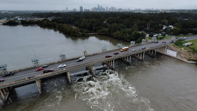
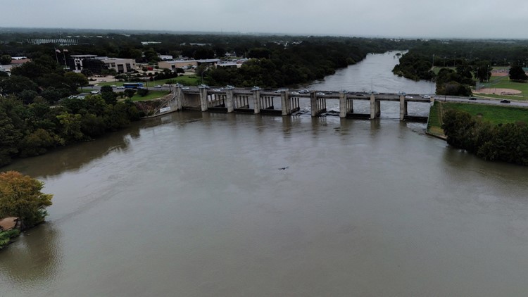
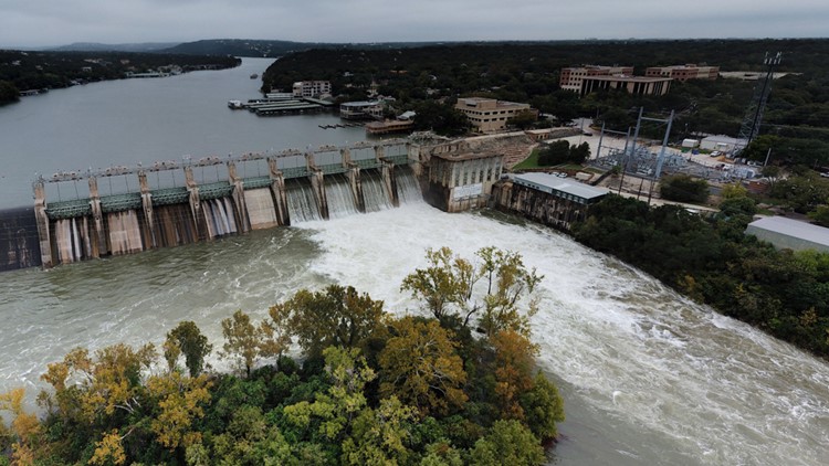
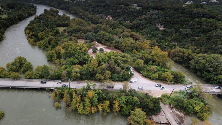
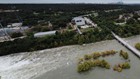
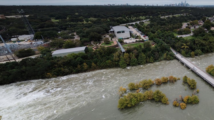
AUSTIN — The waterways around Austin are seeing a significant amount of rainfall this week, and the Austin Fire Department has the 360 views to prove it.
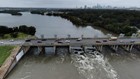
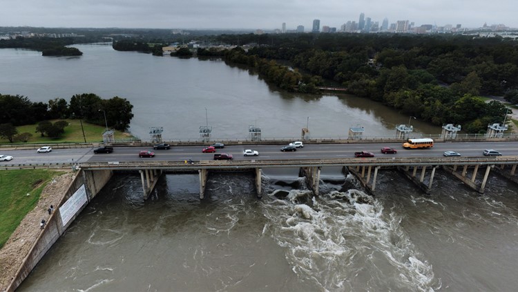
AFD sent their Robotics Emergency Deployment Team to the Tom Miller Dam and the Longhorn Dam Oct. 18 to capture 360 photos.
PHOTOS: Striking photos taken above Longhorn Dam and Tom Miller Dam


/
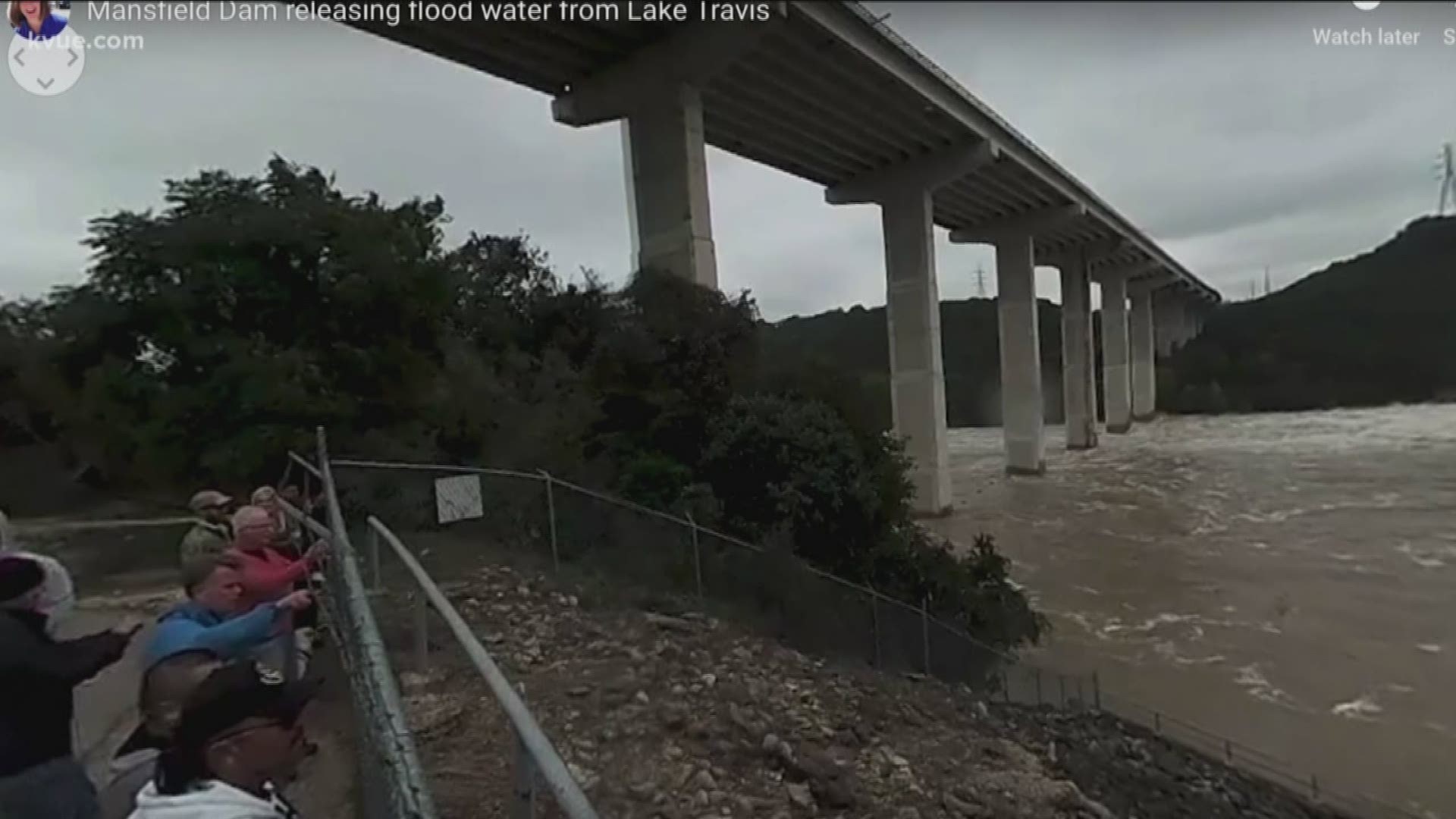
Lake Travis measured at 146 percent full, making it the fifth highest level on record. The Lower Colorado River Authority, also known as the LCRA, is holding off on opening four additional floodgates at the Mansfield Dam on Thursday as they continue to monitor the dangerous and continuous rate of rising water levels at Lake Travis in the Austin-area.
KVUE's Erica Proffer also recorded this 360-degree video at the Mansfield Dam.
RELATED: