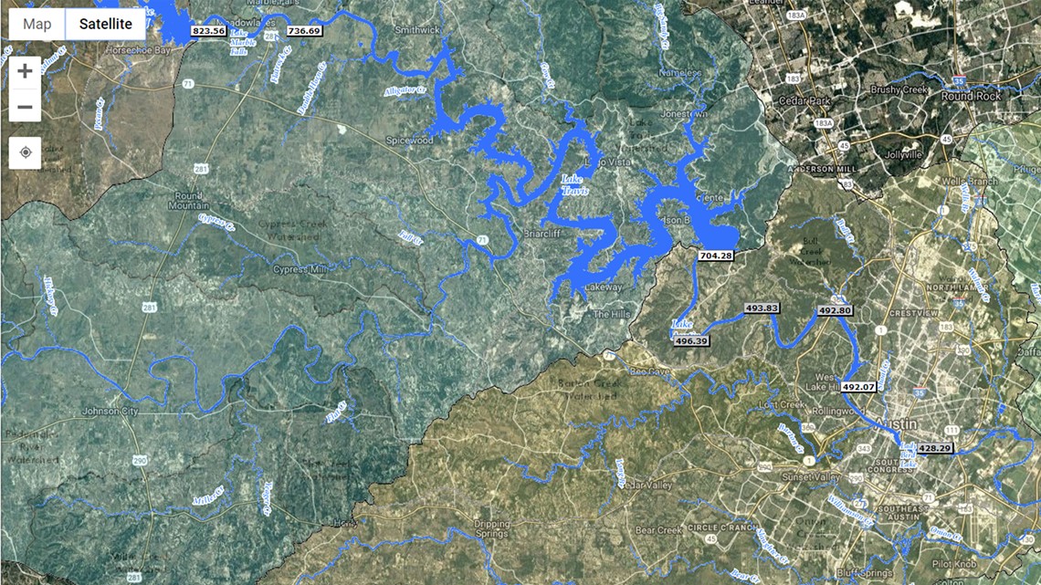
CENTRAL TEXAS — For up-to-speed coverage, the Lower Colorado River Authority has a nifty tool to lets you see "near-real-time" data on how flooding and rain is impacting the weather and lake levels.
This LCRA interactive map allows you to see data on rainfall totals, lake levels, temperature and humidity levels, stream flow information and more.


The map has more than 100 rain gauges that can show you up to two weeks worth of rainfall and lake level reports. It also shows you stream flow information, like how much water is flowing down and how fast it's moving.
RELATED:
According to the LCRA's website, "Hydromet is a system of more than 275 automated river and weather gauges throughout the lower Colorado River basin in Texas. In addition, the website displays gauges maintained by the City of Austin and USGS."
In order to navigate LCRA's Hydromet, follow these steps:
- Select a Map View from the drop down menu or zooming in on a specific area.
- Select the data you would like to see from the Hydromet Data drop-down menu.
- You may add additional Map Layers, including current radar and drought conditions, and view historic data under the Links section.
For the latest weather updates and forecasts, click here.

