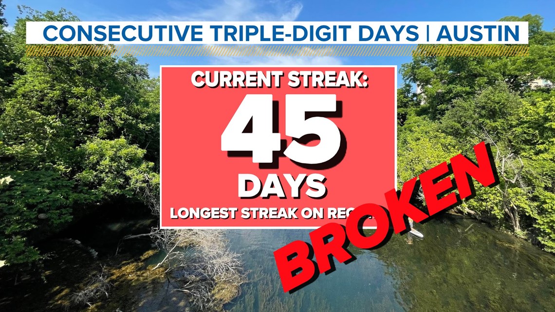
AUSTIN, Texas — Tuesday was one of the last chances Austin had to break the current 45-day triple-digit heat streak, and it was done!
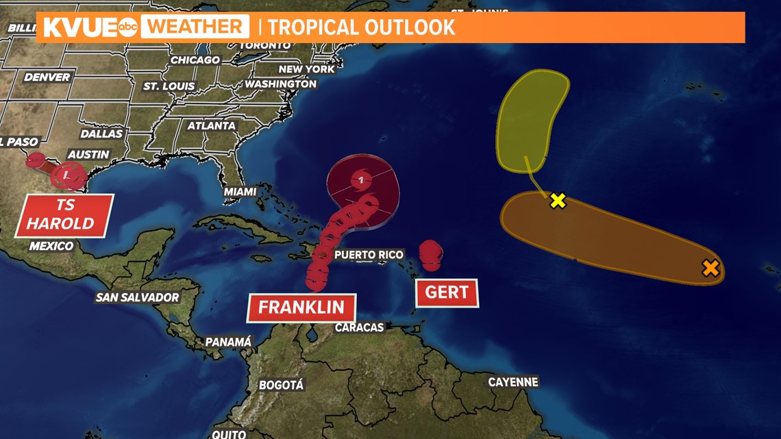
As Tropical Storm Harold pushed west across South Texas, its outer rain bands were able to send a couple of rounds of rain over the Austin metro. This, along with widespread cloud cover on Tuesday, was able to shield the area from daytime heating.

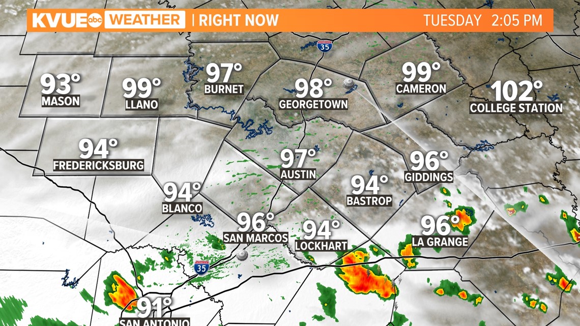
The Austin Camp Mabry official high for Tuesday, Aug. 22, will go down as 99 degrees.

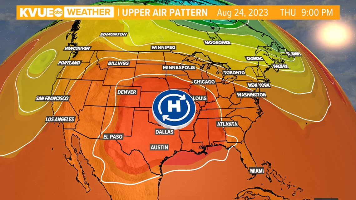
Unfortunately, it will be an extremely short-lived break. The high-pressure heat dome will continue to churn over the central U.S. all week long. Afternoon high temperatures will ramp back up to 104 by Wednesday.

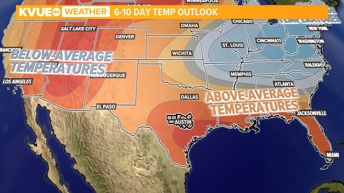
Past this week, the six- to 10-day temperature outlook keeps Austin in the "above average" category, with triple-digit trends shifting towards Sept. 1 and beyond.

The only additional saving grace for our area could be if another tropical system is able to pass through. However, all current tropical outlooks show that within the next five to seven days, no additional storms are forecast to come close to the Gulf of Mexico.

