AUSTIN, Texas — Editor's note: This blog is no longer updating. For the latest, click here.
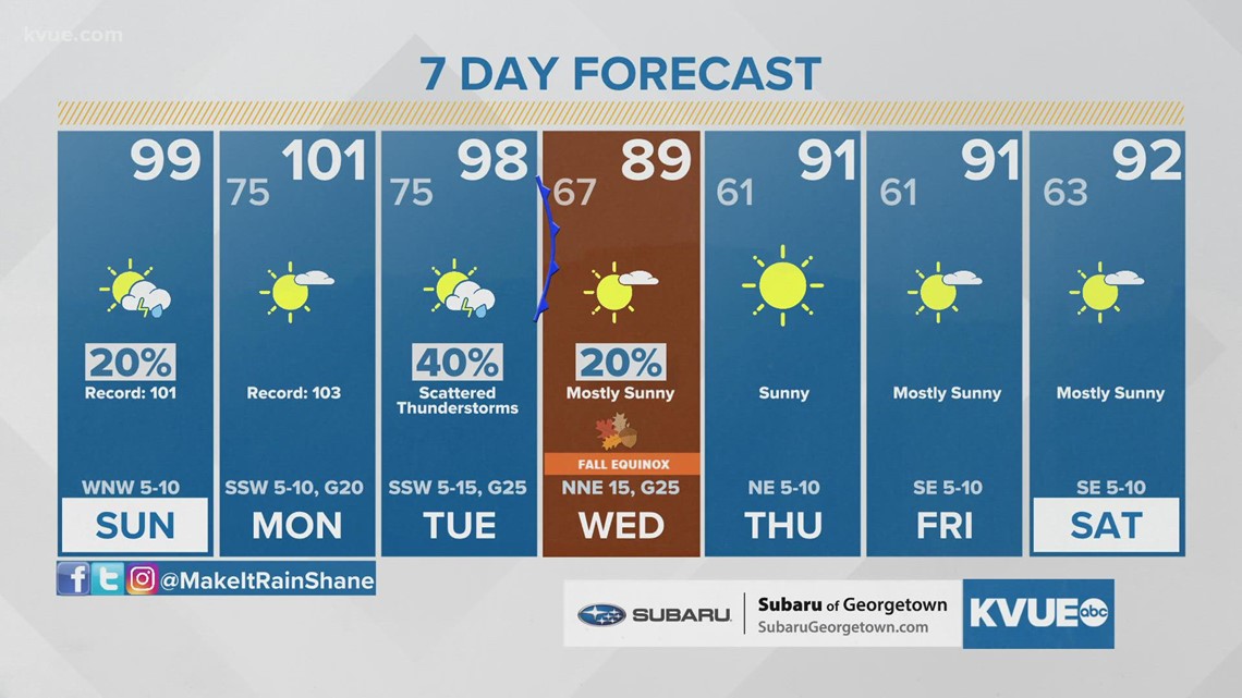
September heat rolls on for a few more days here in Central Texas before we finally get some relief.
Sunday will once again reach the upper 90s to lower triple digits. Most will stay dry, but an isolated storm can't be ruled out along and east of Interstate 35. Some storms that develop could be strong with gusts up to 30 to 40 mph possible. Heat index values will be in the triple digits once again.
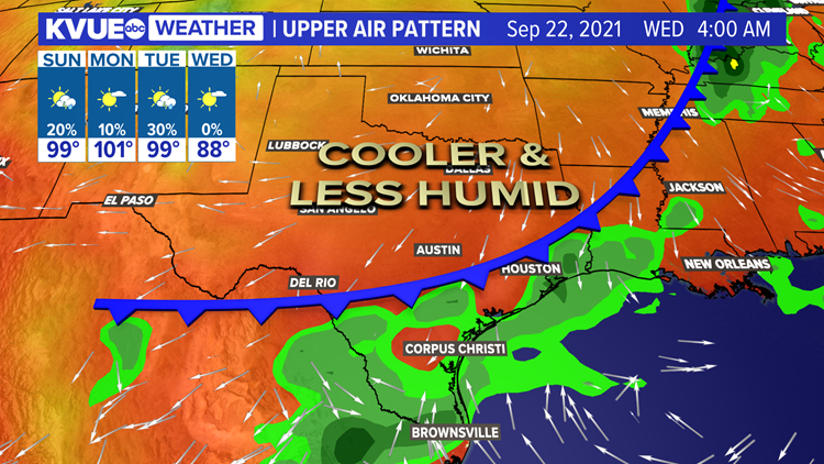
Monday will be the hottest day of the week and perhaps the hottest day we have left for the year with a high near 101 for Austin. The daily record for Monday is 103. Heat index values will be around 104 degrees for Austin. Our front officially arrives Tuesday, but we won't get the cooler air until Wednesday.

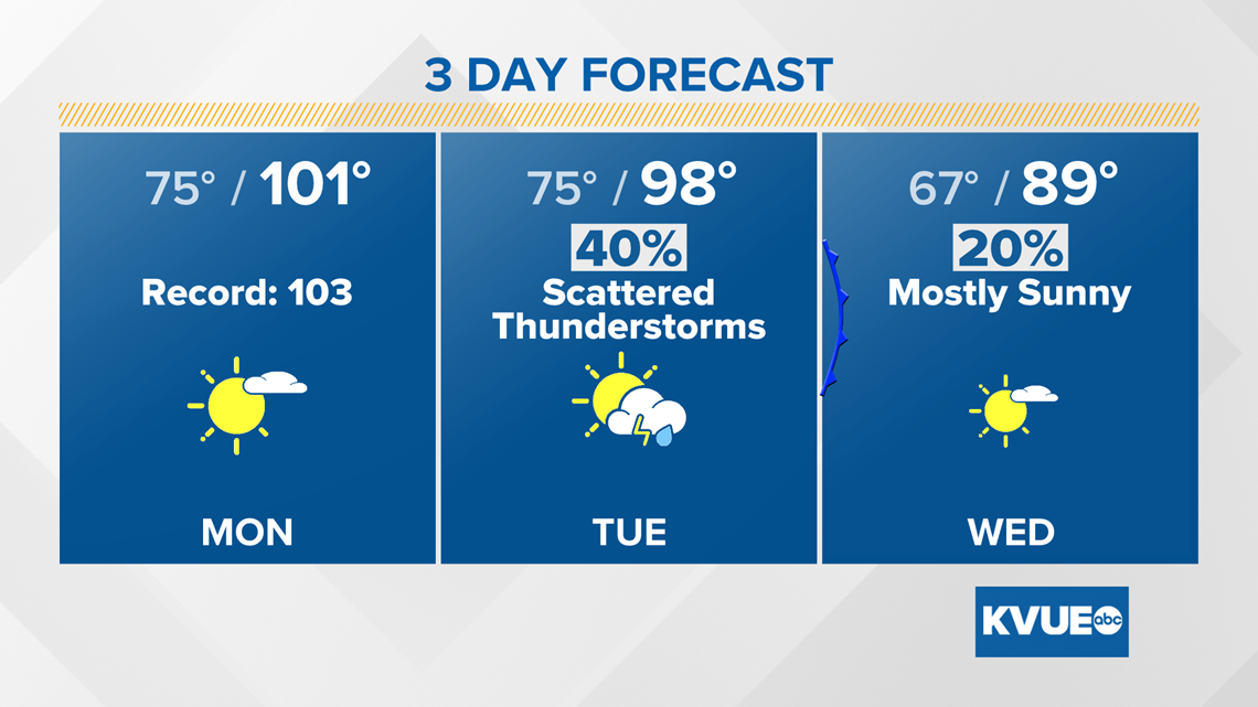
The autumnal equinox is on Sept. 22, and it looks like Mother Nature wants to bring in more fall-like weather just in time. Behind our Tuesday front, highs drop to the 80s for Wednesday and Thursday. Humidity will also go way down.
The best part might be the cool mornings. Lows drop to the 50s for much of Central Texas by Thursday morning.


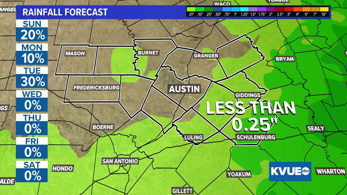
A few scattered showers and storms will be possible late-day Tuesday as the front slides through, but totals should stay generally under a quarter inch for the next seven days.

The KVUE Storm Team will continue to monitor the forecast closely over the coming days, so make sure to check in for any changes that may come.
RELATED: Forecast: Mid-90s with plenty of sunshine to end the workweek; fall front on the way next week
Here is a look at your extended forecast:

