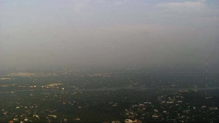
AUSTIN, Texas — If you were outside earlier this week, you may have noticed there was a bit of a haze in the sky, which caused somewhat of a weird tint in the atmosphere.
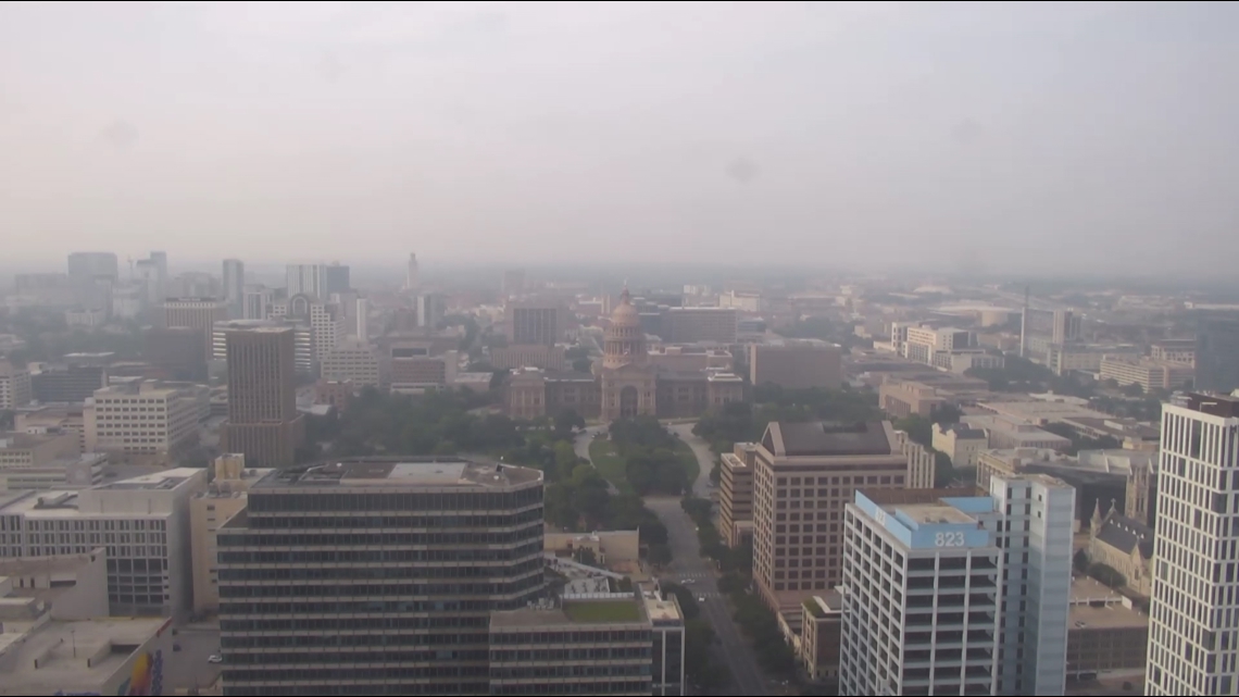
The drier air ahead of the storms that took place Thursday helped contribute to this phenomenon. The resulting images on our tower cameras from Wednesday typify what many Austinites saw as they walked out the door Wednesday.

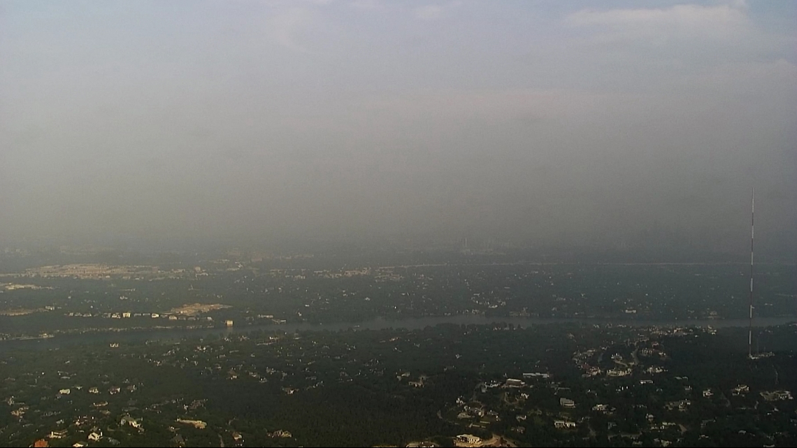
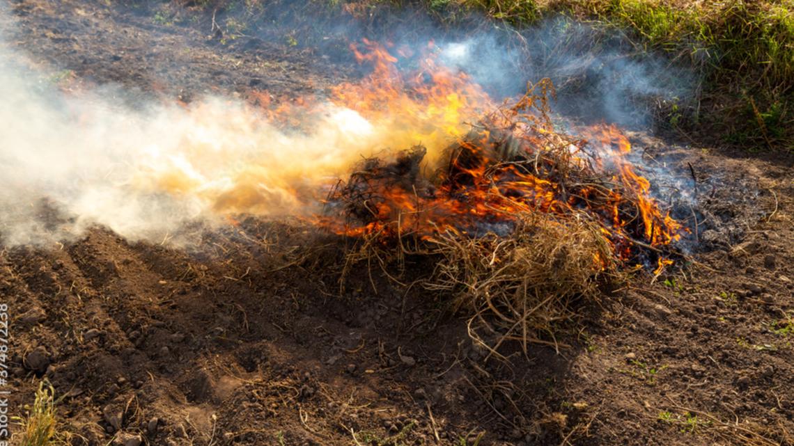
During this event, southwesterly winds brought in smoke from agricultural burning in northern Mexico. Agricultural burning takes place so that farmers are able to clear farmland that can be used for growing and harvesting crops.
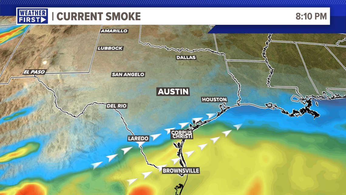
If this burning is more widespread, this can send smoke plumes far away from the site of burning, depending on wind direction and upper-level wind speed. The farther away from the burning the smoke is, the higher in the atmosphere it travels, which is a commonality for all burning activity. However, with the frontal boundary having passed through Thursday night with the storms that came through, the majority of the smoke is now only over the Rio Grande Valley and just south of Galveston and Corpus Christi.


All of this combined with the tropical humidity that we had earlier in the week, with dewpoints reaching the upper-70s to lower 80s, creating a very tropical air mass.
These factors, combined with the usual pollens for this time of year, combine to create the hazy effect.

So, the next time you see haze in the sky during late spring, chances are agricultural burning, combined with pollen and humidity, is most likely the culprit.

