AUSTIN, Texas — ***THIS BLOG IS NO LONGER ACTIVE***
The front that blew through the area Thursday has now moved north as a warm front. This means that scattered rain, cloud cover and even an isolated thunderstorm stays in the forecast through Friday with the help of southerly winds.

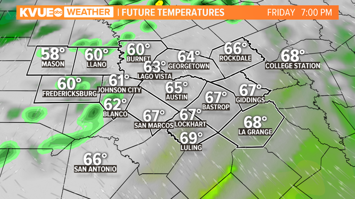
The warm front will be responsible for the brief Friday warmup to near 70 degrees with higher humidity Friday afternoon.


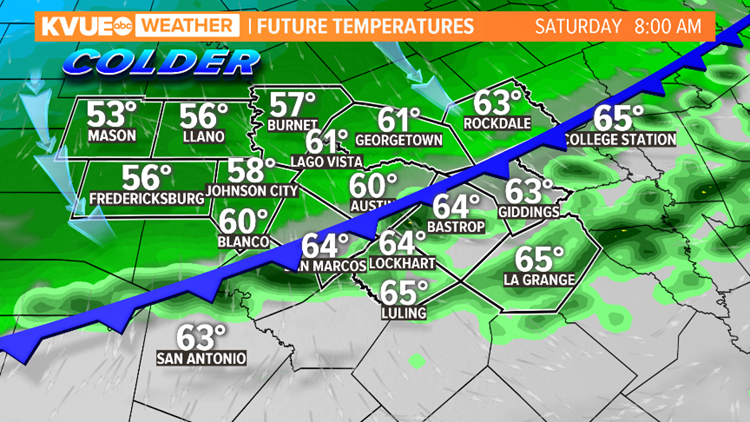
Another front will move through the area Friday night and Saturday morning. This will bring in cooler, dry air to the region. Rain stays in the forecast through Saturday morning with clearing Saturday afternoon.

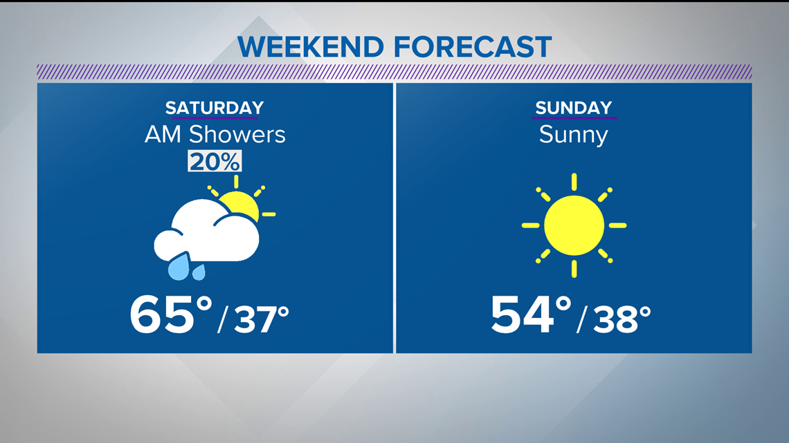
Expect and even cooler weather come Saturday night into Sunday. We're talking overnight lows in the 30s. Winter will surely rear its ugly head again in the Central Texas region.

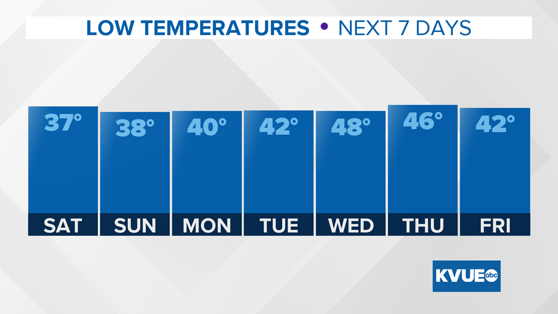
As of now, it looks like it stays cool through next week. The average for this time of the year is 61 degrees.
PEOPLE ARE ALSO READING:

