AUSTIN, Texas — Editor's note: This story is no longer updating. For the latest, click here.
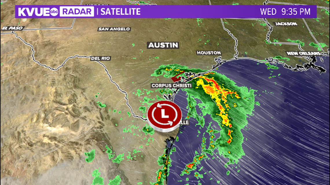
Heavy rain continues to impact the Texas Coast, causing major flooding. Flash flood watches, flood warnings, and flash flood emergencies have all been issued in the past 24 hours. Some spots have accumulated close to a foot of rain in the past 48 hours, with more coming. The flood threat remains elevated for locations south of Interstate 10.
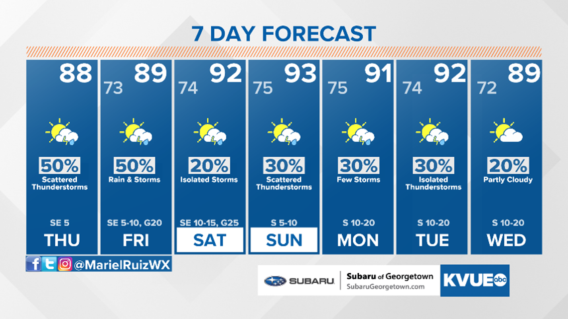
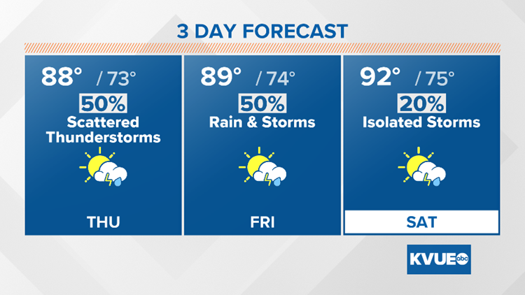
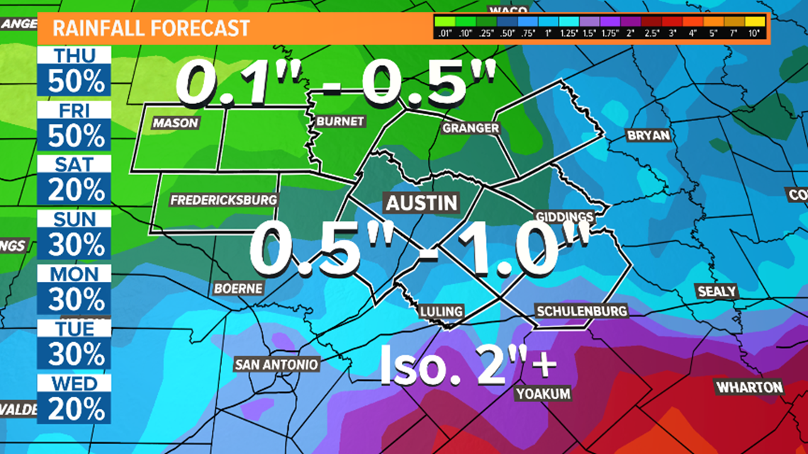
Thursday morning's radar indicated heavy rain getting pushed into the Texas coast, prompting additional flood warnings. The coastal low causing this heavy rain is also responsible for the scattered showers in Central Texas. Expect high humidity with highs in the 80s and a partly cloudy sky through Friday. An additional inch of rain will be possible for isolated spots, but most will see less than that. Some may not see any rain at all.

The highest rain totals will be seen across the Texas coastline. Areas south of I-10 will have the highest totals locally. Rain totals taper down for the Hill Country.

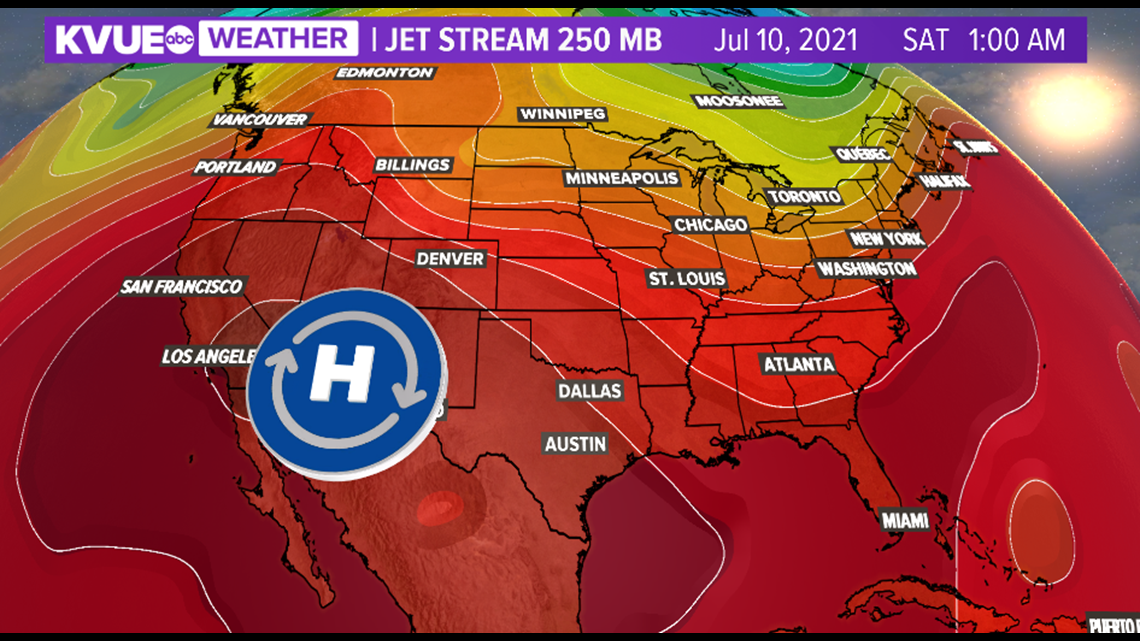
Changes arrive this weekend as our next area of high pressure builds in. This will suppress rain chances and bump high temperatures back up to the 90s. However, we should remain at or slightly below average for this time of the year, which is 95 degrees.

Early next week looks interesting as computer models are hinting at the possibility of another rare July front approaching Central Texas. There is still plenty of uncertainly at this time, but this would elevate rain chances once again, though it is not expected to bring a temperature drop at this time.
The KVUE Storm Team will continue to closely monitor the forecast.
In the meantime, the extended forecast can be found below:

