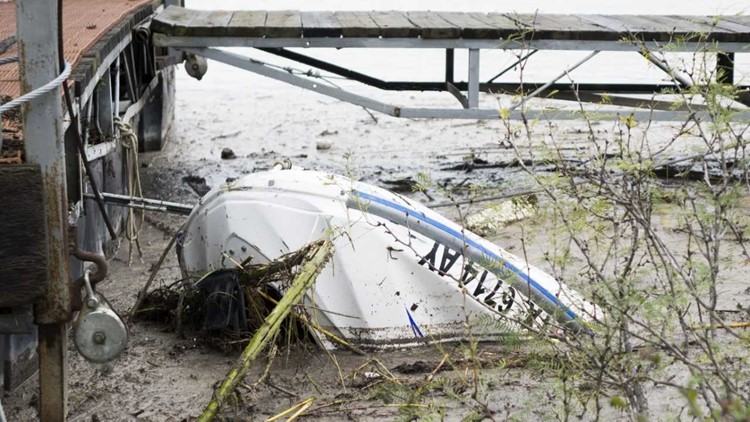
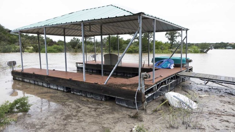
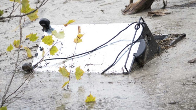
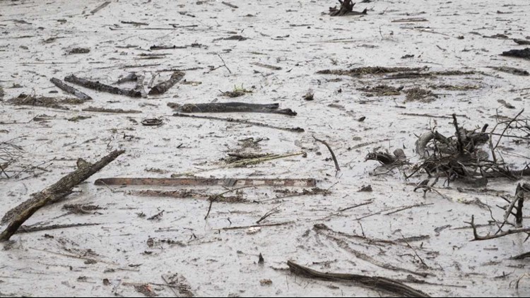
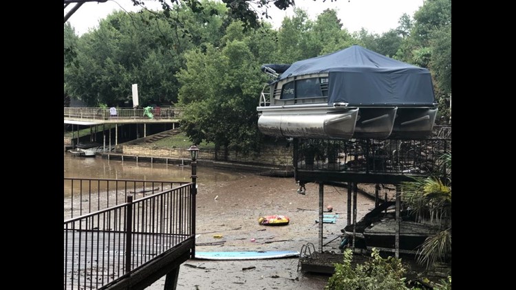
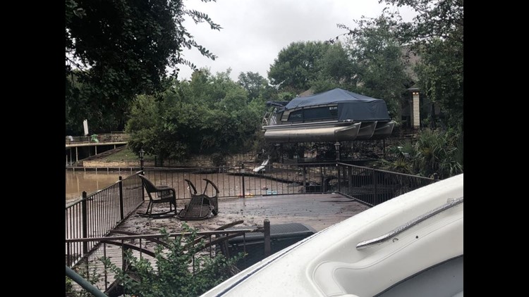
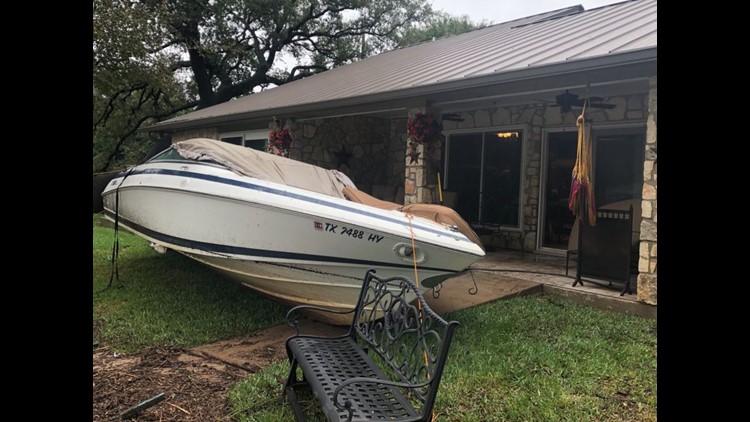
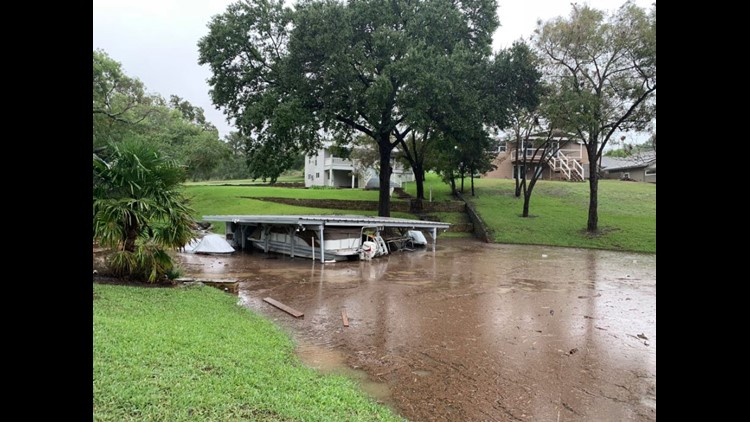
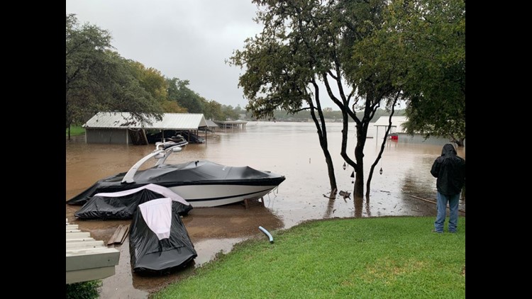
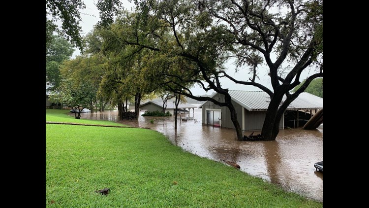
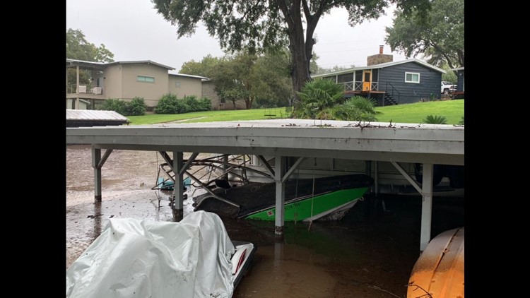
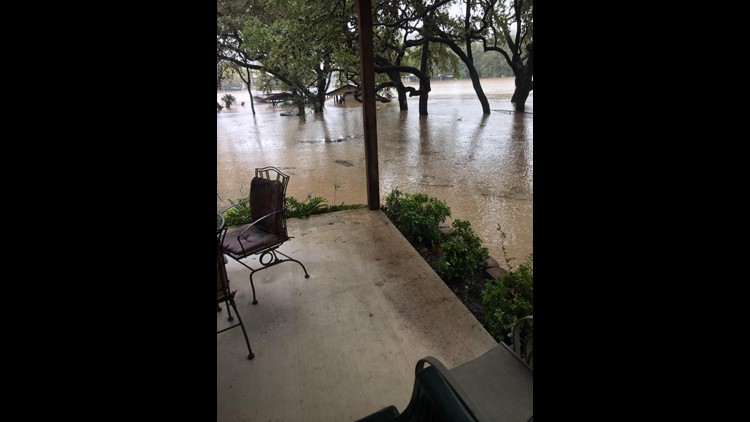
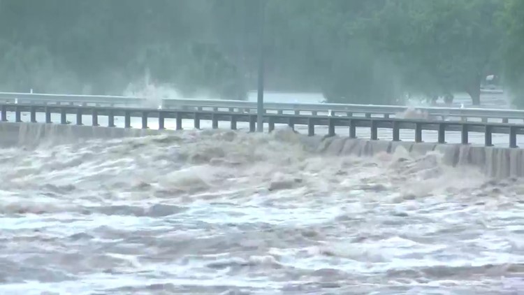
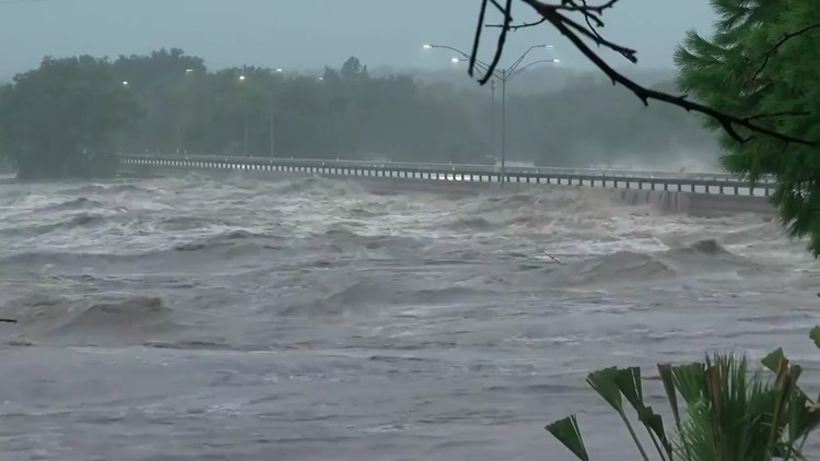
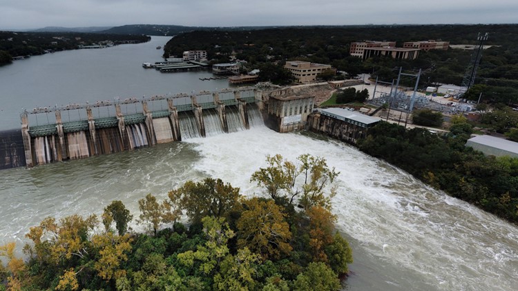
On Thursday morning a tweet was sent out by the Lower Colorado River Authority stating, "Lake Travis is now falling about 2 feet a day."
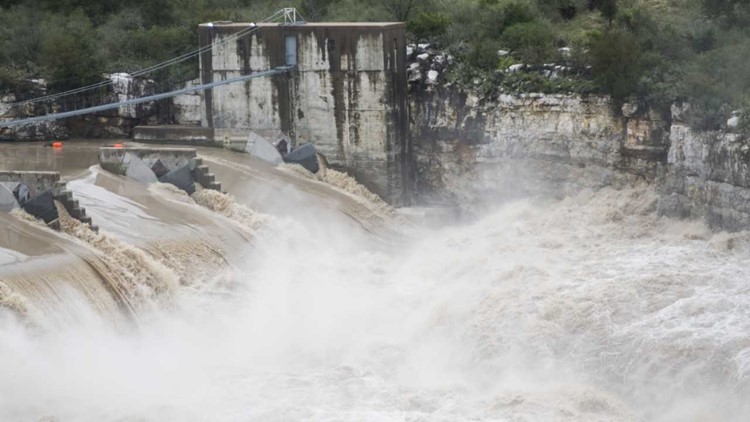
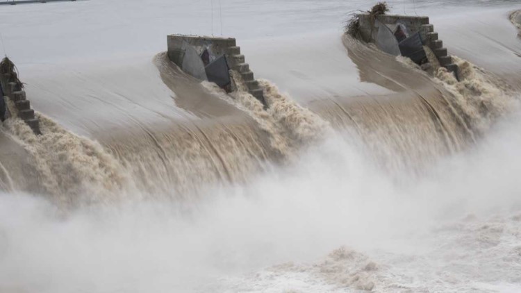
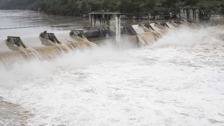
This statement came after the LCRA said without additional rain, they expect floodgates to remain open at Mansfield Dam through early November.
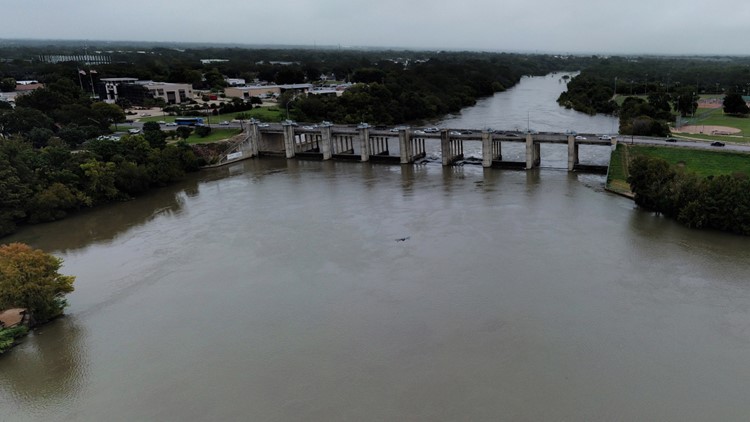
On Wednesday morning the LCRA stated all floodgates at Buchanan, Wirtz, and Starcke dams are now closed, but flood operations continue at Mansfield and Tom Miller dams.
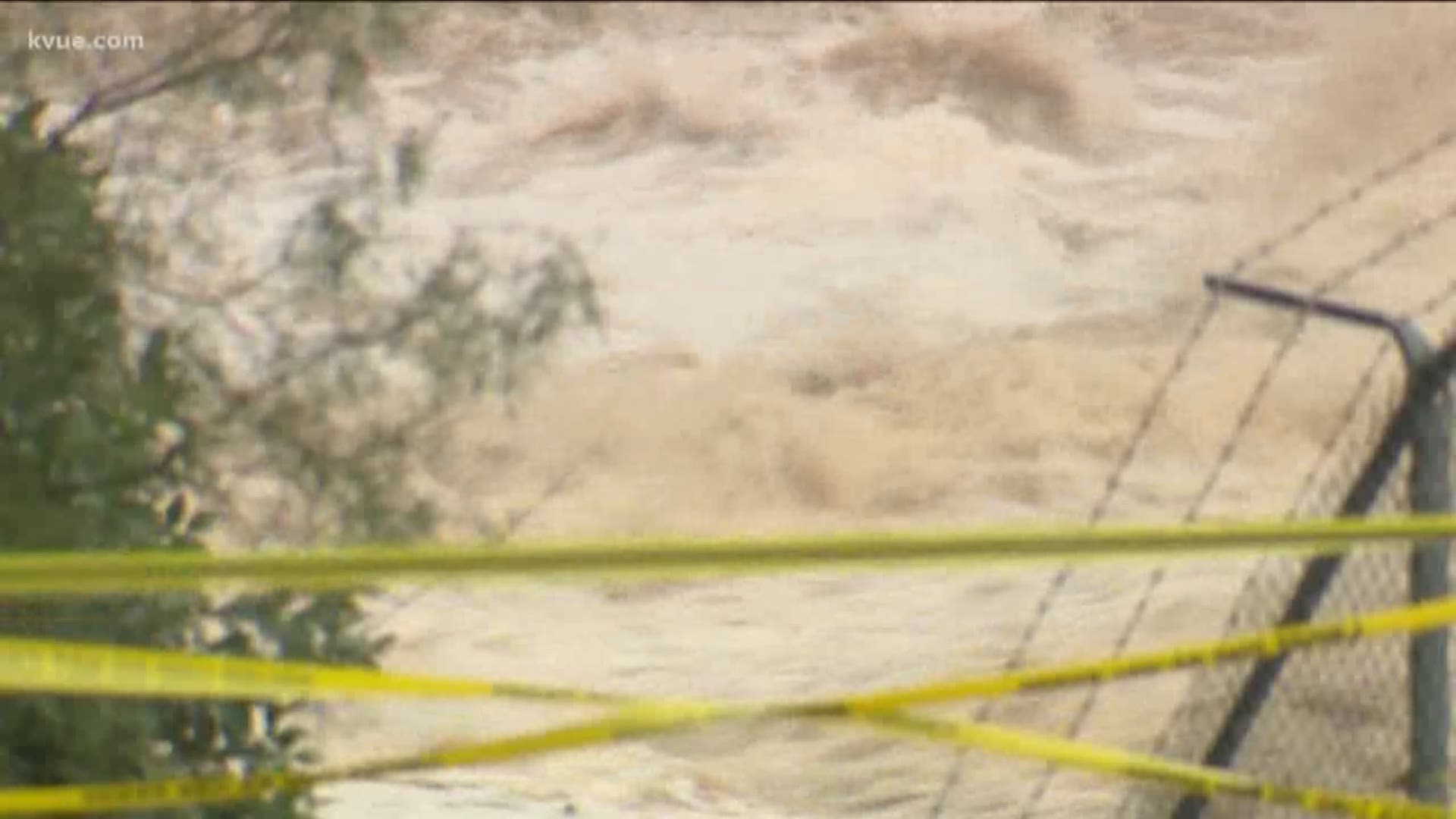
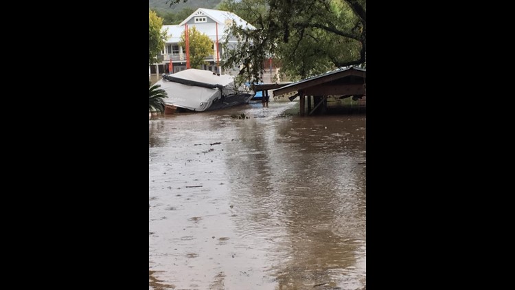
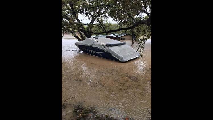
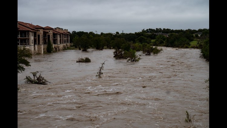
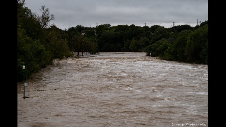
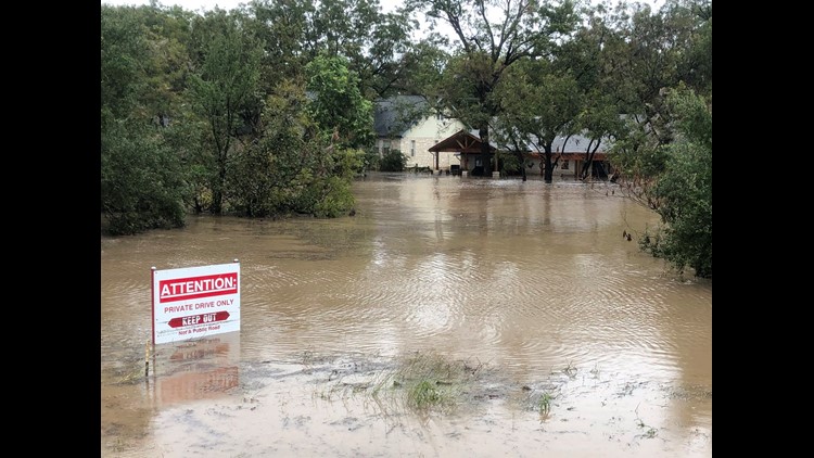
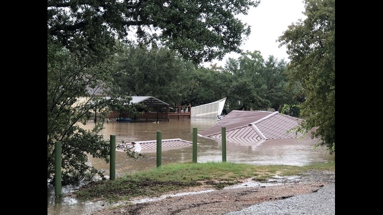
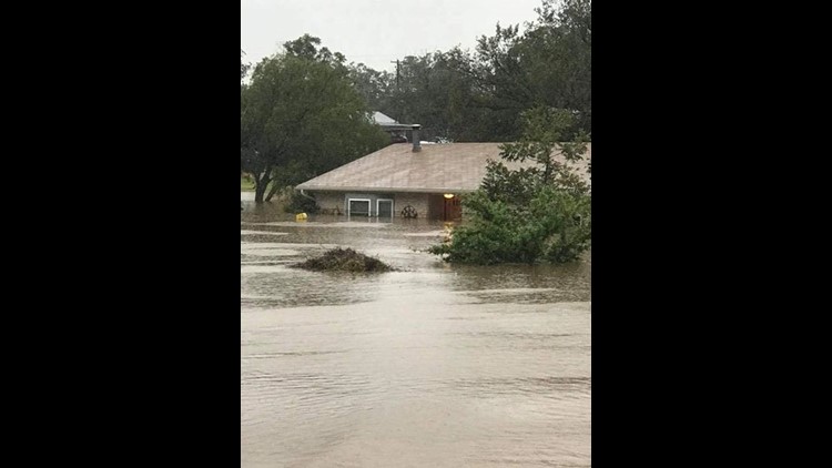
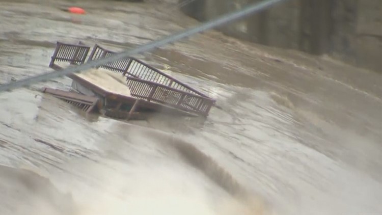
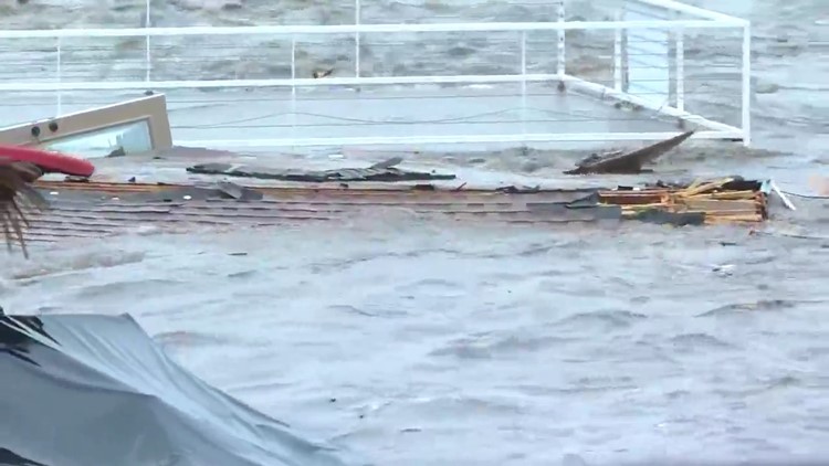
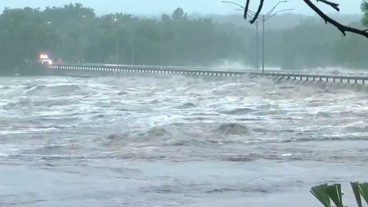
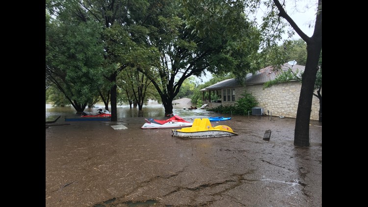
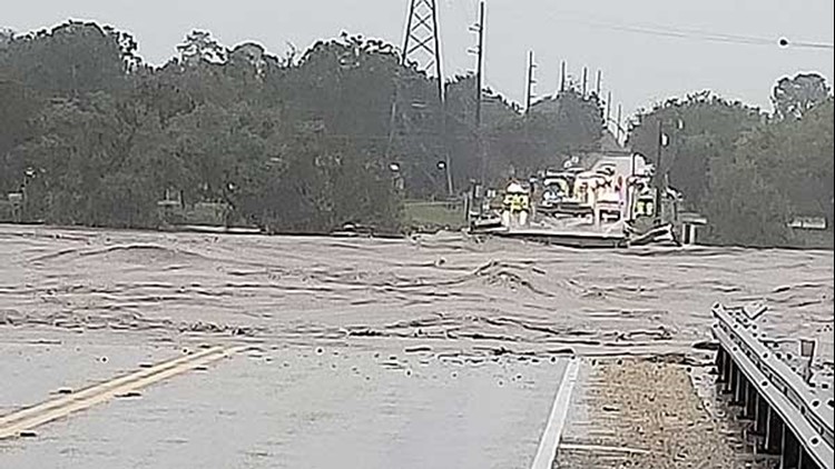
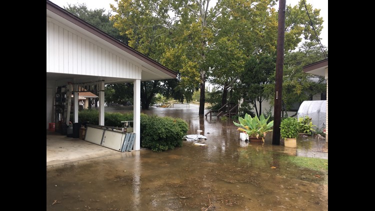
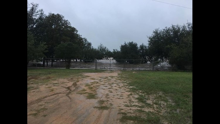
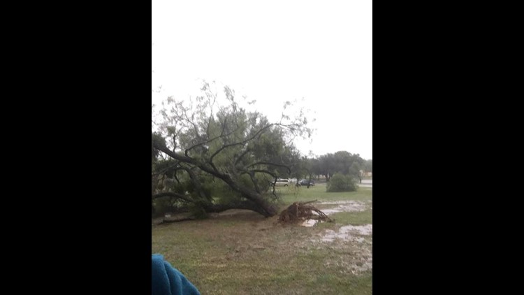
Following a near-historic flood at the Llano River Tuesday, the Mansfield Dam and other dams within the Highland Lakes region had been filtering rapid floodwaters while also dealing with the aftermath of steady rainfall and saturated soil across Central Texas.
The LCRA said Wednesday's rain was less than initially projected and it does not expect to have to open any additional floodgates along the Highland Lakes Wednesday night.
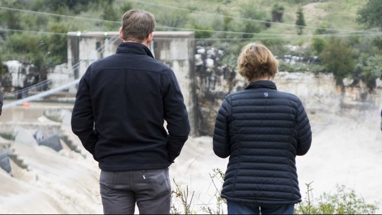
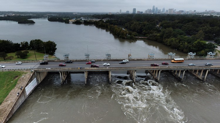
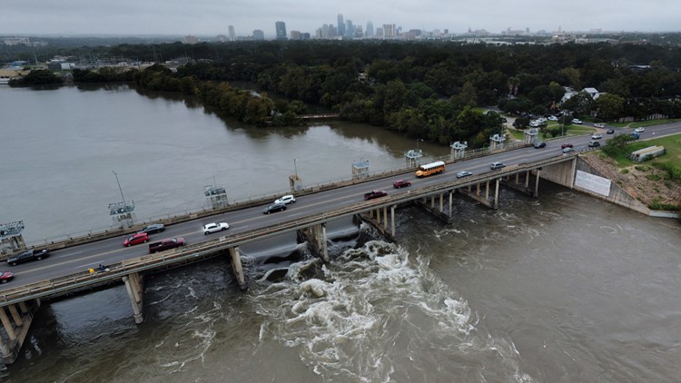
Four floodgates remain open at Mansfield Dam as the LCRA continues to release water from the flood pool at Lake Travis. The LCRA expects four floodgates to remain open at least through early November to allow water levels in Lake Travis to drop. The LCRA stated they do not anticipate having to open additional floodgates at Mansfield Dam, but said if more rain leads to additional flooding concerns additional floodgates may need to be opened in the future.
Lakes Buchanan, Inks, LBJ, Marble Falls and Travis are still closed to recreational use. Property owners may access the lakes for the limited purpose of securing damaged property from the recent flood if that property location is known. Lake Buchanan is expected to reopen Oct. 26 at noon. The rest are expected to remain closed until at least Oct. 30.
‘Historic flood’: How flooding has impacted Central Texas
During the worst of the flood operations, Lake Travis was expected to tie its near 30-year record for the highest crest in recorded history at 710 feet. That height is four feet below the maximum capacity for Lake Travis. When the water reaches 714 feet, the waters from Lake Travis would surge over the Mansfield Dam spillway.
Unless conditions change, it's unlikely either scenario will happen at Lake Travis any time soon.
Check out coverage in our previous weather blog here.
NEED TO KNOW
National Weather Service is forecasting no major flooding concerns this week; however, a few features including a large, deep trough, remnants from Hurricane Willa and Tropical Storm Vicente, and a coastal low could bring additional rainfall of 2 to 4 inches into the region. This could lead to additional flood possibilities for area roadways, and the rise of rivers, streams, lakes, and other waterways Wednesday.
ROAD CLOSURES
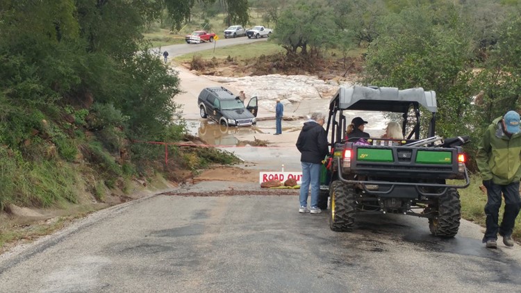
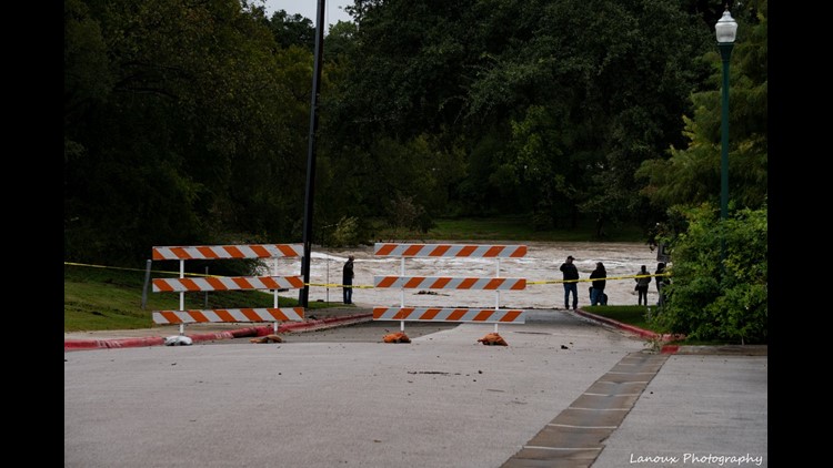
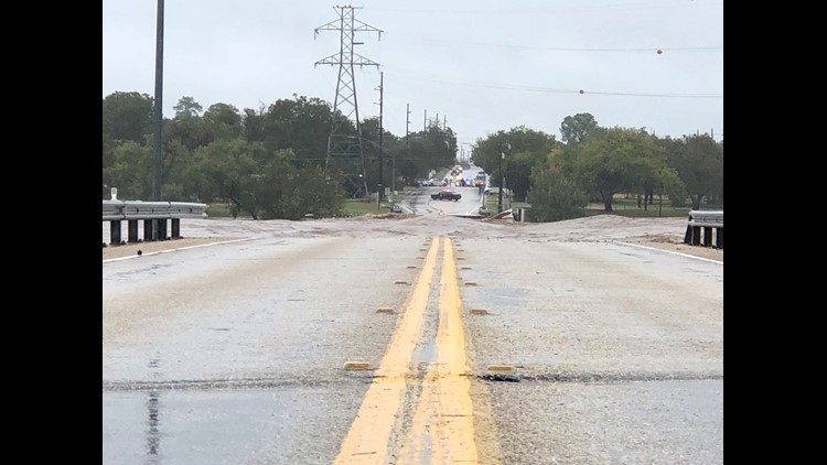
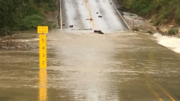
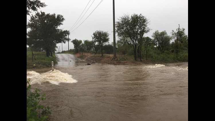
As of Wednesday afternoon, ATXFloods.com showed that 79 low water crossings were closed across Central Texas.
SHELTERS OPEN FOR EVACUEES
Lago Vista evacuees can visit the Lago Vista High School Performing Arts Center for help. It's been set up as a temporary shelter.
If you live in Llano County, two shelters are open for people. The Llano County Office of Emergency Management said the John Kuykendall Arena & Events Center at 2200 W Ranch Road 152 and Lutie Watkins Memorial United Methodist Church at 800 Wright St.are both taking in evacuees.
Llano County Office of Emergency Management said shelters are being set up at the 1st Baptist Church and Inmans Kitchen in Llano. The Kingsland Community Center is also taking in evacuees.
Llano High School opened at 9:30 a.m. Tuesday for evacuees.
If you need to be evacuated, officials recommend contacting the Llano Police Department.
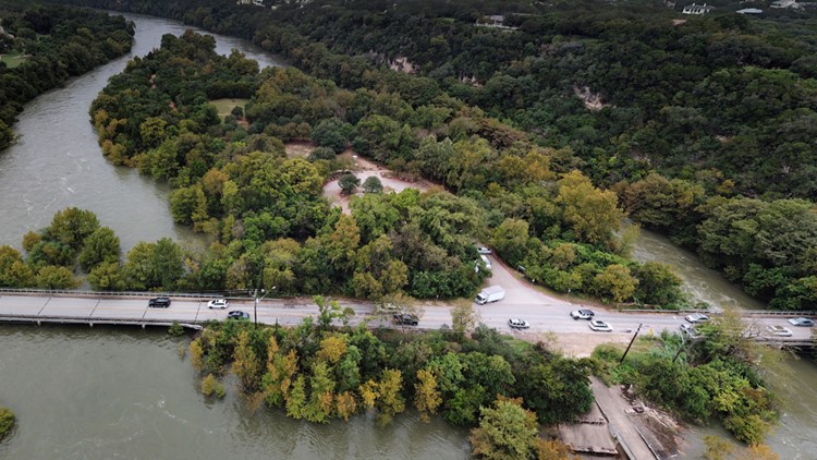
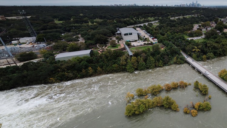
PHOTOS: Striking photos taken above Longhorn Dam and Tom Miller Dam
Granite Shoals evacuees are asked to head to the 1st Baptist Church, located at 505 south Phillips Ranch Road.
In Meadowlakes, evacuees can seek shelter at the City of Meadowlakes City Hall. Shelters in place are also available at First Baptist Church Marble Falls and the Burnet Community Center. The City of Meadowlakes and Pecan Valley are not accessible at this time.
The flood response shelter located at Marble Falls Middle School is now closed. Community members can refer to the City of Marble Falls Emergency Alert Center for shelter and residential updates.
RELATED:
MORE INFORMATION
Click here for the flood operations report from LCRA.
Click here for more information on water levels being released from various dams compared to previous days.
Click here for historical water information from Lake Travis.
KVUE will update this story as more information becomes available.

