
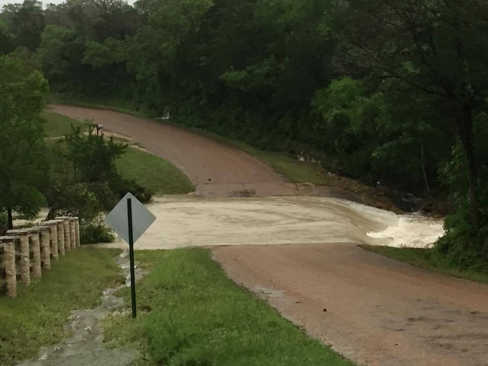
The National Weather Service on Monday morning released 24-hour rain totals from the storms that moved through Central Texas April 17-18. Some locations east of Interstate 35 saw the most rainfall while other locations along and east of I-35 saw less than one inch of rain.
The information below has rain totals and the time in which the 24-hour recording window ended on April 18.
- 4 miles west Fayetteville: 13.80”, 7:40 a.m.
- 4 miles northeast La Grange: 13.37”, 7:40 a.m.
- 1 mile west La Grange: 12.92”, 7:40 a.m.
- La Grange: 11.34”, 6:55 a.m.
- 1 mile southwest Fayetteville: 11.00”, 6:00 a.m.
- 1 mile WNW Circle D-KC Estate: 8.80”, 7:30 a.m.
- 4.6 miles SSW McDade: 7.57”, 7:00 a.m.
- Rosanky: 6.26”, 7:40 a.m.
- Smithville: 6.05”, 7:40 a.m.
- Granger Dam: 5.02”, 7:00 a.m.
- Taylor: 4.83”, 8:00 a.m.
- Cedar Creek near Bastrop: 4.81”, 8:00 a.m.
- Jonestown: 4.62”, 6:45 a.m.
- Giddings: 3.72”, 6:55 a.m.
- Brushy Creek: 3.55”, 7:51 a.m.
- Leander: 3.42”, 7:46 a.m.
- 1.8 miles northwest San Marcos: 3.38”, 8:00 a.m.
- Hutto: 3.05”, 6:10 a.m.
- Cedar Park: 2.79”, 8:00 a.m.
- Liberty Hill: 2.59”, 7:00 a.m.
- Lakeway: 2.54”, 8:00 a.m.
- LBJ State Park: 2.52”, 7:40 a.m.
- Briarcliff: 2.45”, 7:00 a.m.
- Camp Mabry, Austin: 1.96”, 6:51 a.m.
- Onion Creek at Buda: 1.95”, 8:00 a.m.
- 3 miles east-northeast Bertram: 1.71”, 7:00 a.m.
- Buda: 1.69”, 8:00 a.m.
- 1 mile NNE Johnson City: 1.69”, 7:40 a.m.
- Dripping Springs: 1.55”, 5:45 a.m.
- Fredericksburg: 1.45”, 6:55 a.m.
- Dime Box: 1.45”, 7:00 a.m.
- ABIA: 1.10”, 6:53 a.m.
- Blanco: 1.08”, 7:30 a.m.
- 1 mile southeast Wimberley: 1.02”, 7:00 a.m.
- Henly: 0.99”, 8:00 a.m.
- Lockhart: 0.80”, 6:35 a.m.
- Luling: 0.71”, 8:03 a.m.
- Burnet: 0.29”, 8:00 a.m.
- Llano: 0.16”, 7:40 a.m.
- Horseshoe Bay Resort AP: 0.10”, 6:55 a.m.
Go here to view the entire list from the National Weather Service.
