AUSTIN, Texas — After several years of La Niña, changes are on the way for the rest of this year.
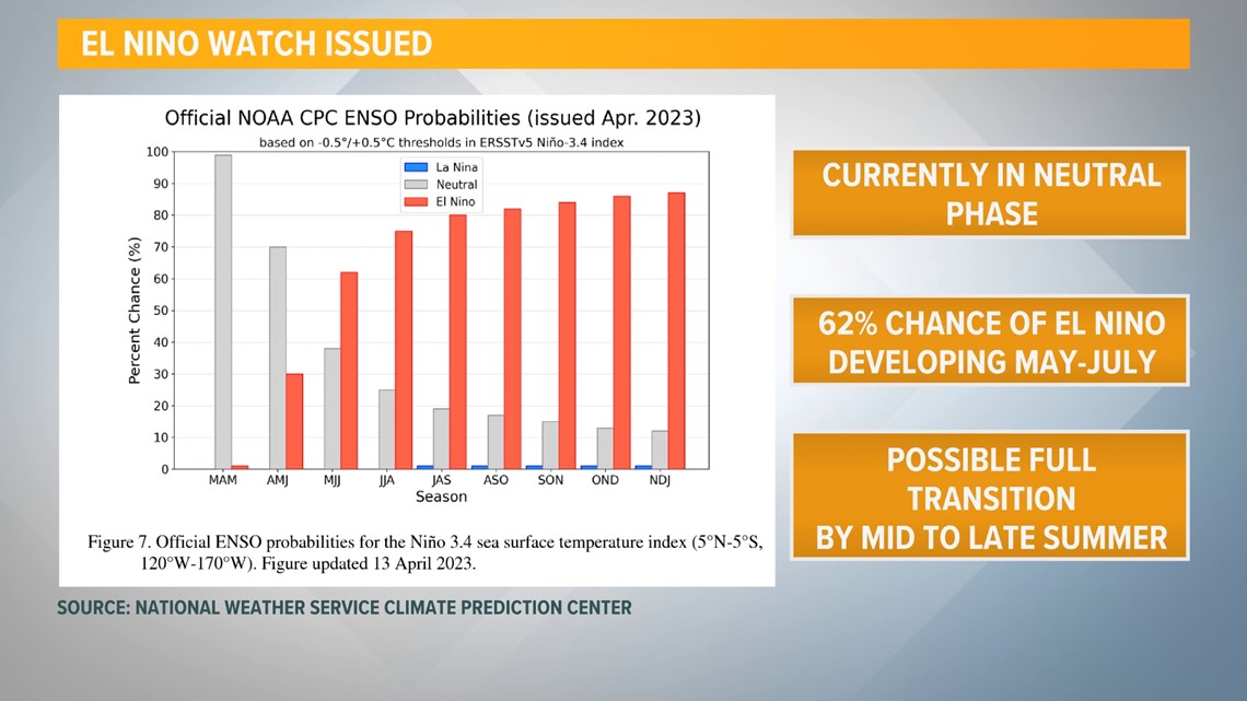
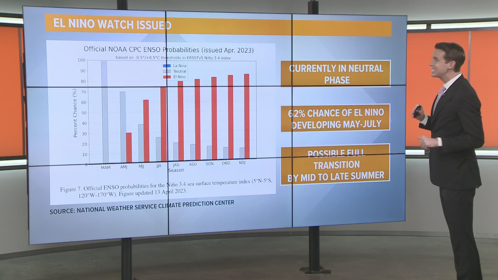
The Climate Prediction Center issued an El Niño watch for the northern hemisphere on Thursday, April 13. While we are currently in a neutral phase, forecast models are hinting at a transition beginning between May and July and lasting through the winter.


What is El Niño? It's a climate pattern part of the El Niño-Southern Oscillation cycle, which consists of El Niño and La Niña phases.
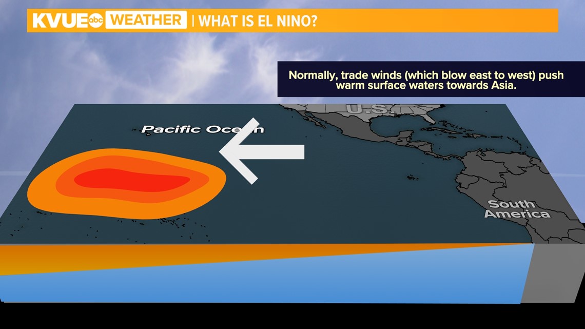
In a neutral phase, trade winds blow warmer ocean waters out into the Pacific Ocean. This brings cooler water to the surface off the coast of South America.


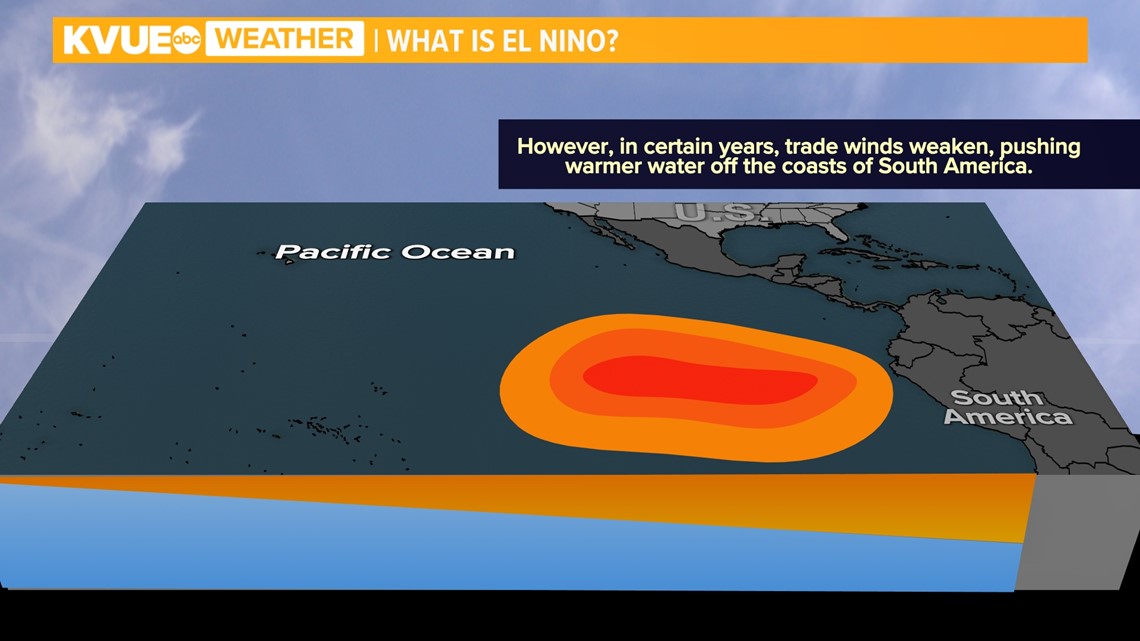
During an El Niño phase, the trade winds weaken. This causes the warm water to not get pushed further into the Pacific and instead allows it to reside closer to the South American coastline.


While this might sound like it wouldn't have large impacts elsewhere, these changes play a large role in our weather conditions in North America.
For starters, the polar jet stream shifts south, bringing warmer-than-average conditions to our northern states. A cooler and wetter pattern develops for the southern portion of the U.S., including a majority of Texas.


The past few years, we've experienced warmer-than-average winters because we have been in a La Niña phase. The cooler and wetter trend being forecast could be good news for Central Texas' drought conditions. However, while additional rain will be beneficial for the drought, the National Weather Service for Austin and San Antonio mentioned this additional rainfall could bring a higher risk for flooding later in the year.
The KVUE Weather Team will continue to monitor updates from the National Weather Service and Climate Prediction Center and share them on air and online.

