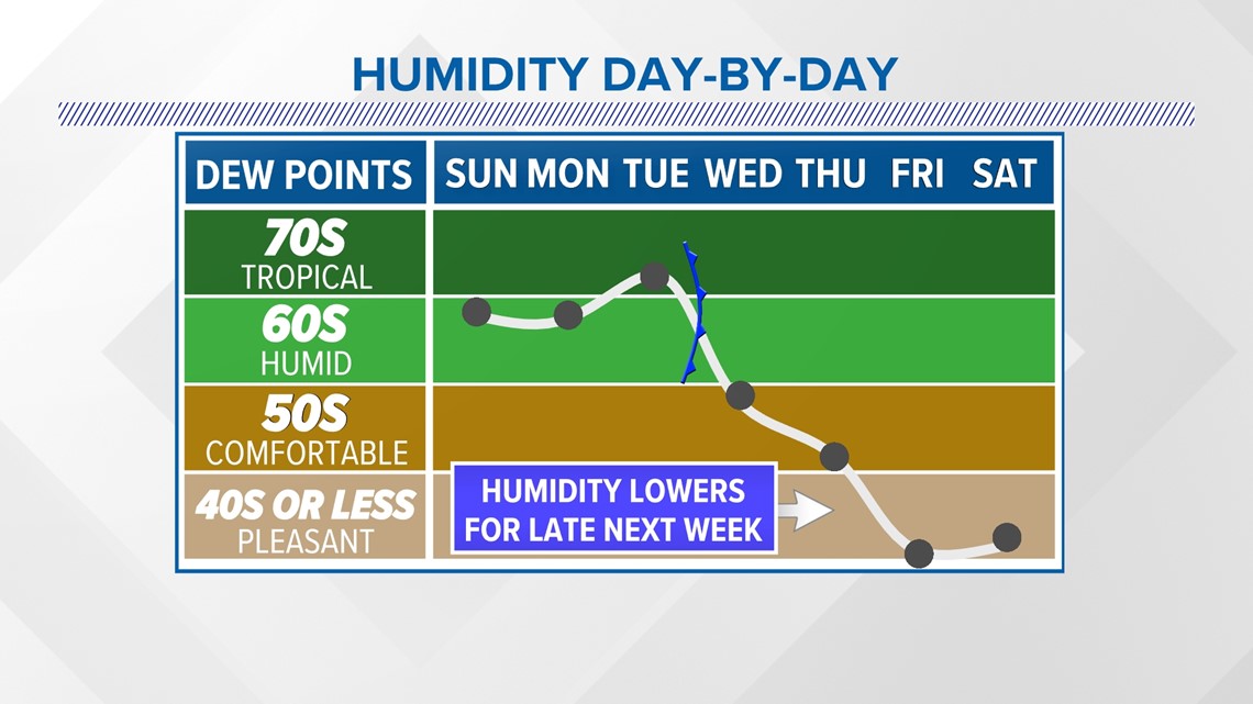
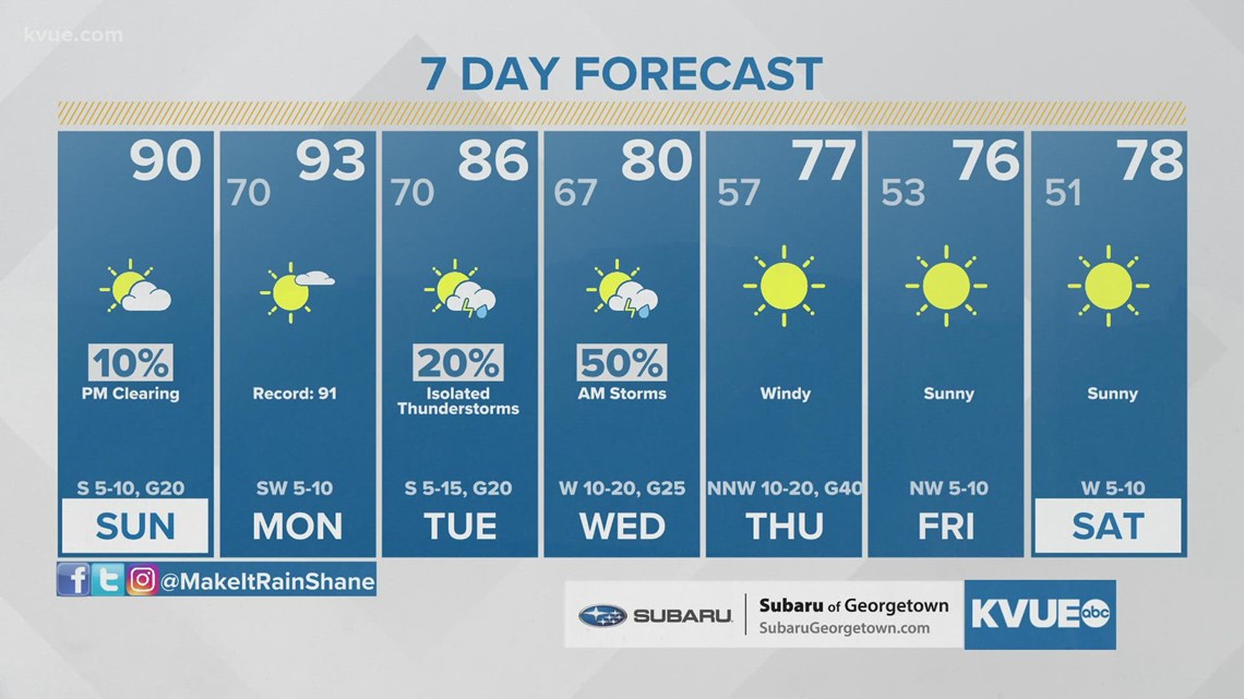
AUSTIN, Texas — Another humid day to end the weekend is on tap with above-average temperatures. This trend continues through the beginning of next week. A southeast wind keeps dew points in the 60s and climbing into the 70s by Monday. As a result, warm mornings continue with areas of patchy fog.
We're tracking a small 10% chance of rain this Sunday due to an upper-level trough in the High Plains. In addition, we'll see a bit more cloud cover during the afternoon hours.
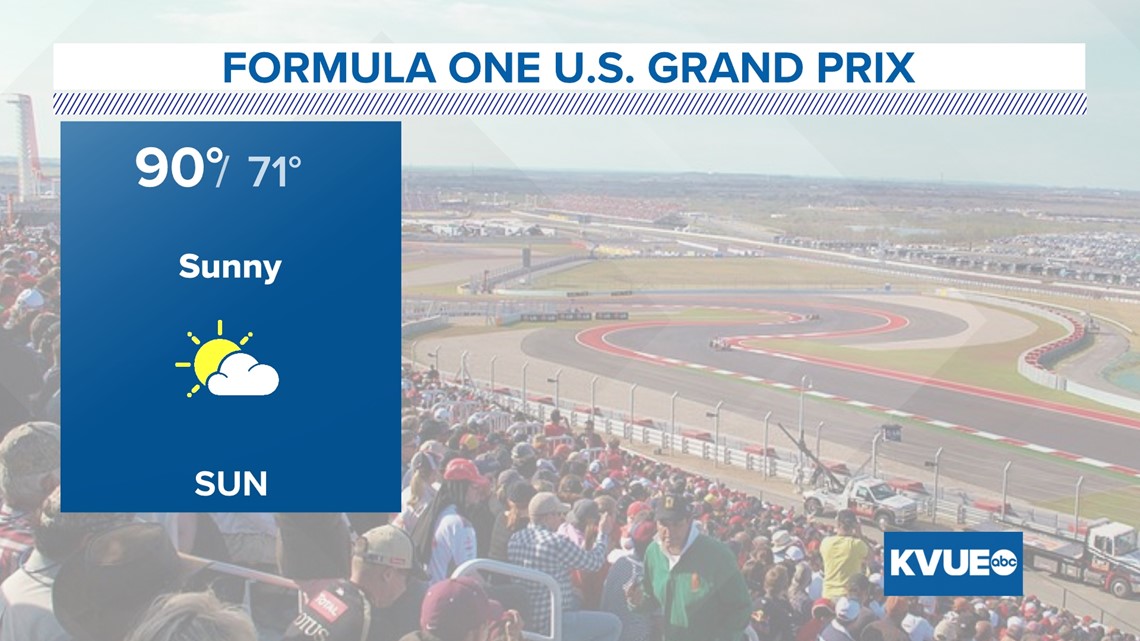
Afternoon high temperatures climb to near 90 degrees on Sunday. This is about ten degrees above average for this time of the year. High levels of humidity keep a small temperature range from mornings to afternoons.
If you're attending the Grand Prix races at COTA, rain gear is not needed but a passing shower is not ruled out. Do plan on a partly cloudy day with high humidity – hydration will be key!

Rain chances climb to 20% to 50% on Tuesday and Wednesday of next week. An upper-level system swings a cold front through the area early Wednesday morning. This front interacts with a tropical air mass to bring rain.
The highest rain totals look to stay east of the area. Rain chances dwindle down by Wednesday afternoon.

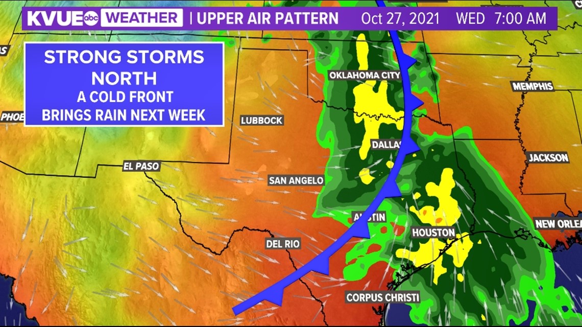
The best part? This front drastically lowers humidity with temperatures closer to average just in time for Halloween weekend. We could see highs in the low 80s by late next week and dew points in the 40s and 50s, making it more comfortable outdoors.

While rain totals look to stay under one-half of an inch for a majority of Central Texas, there is still time for this to change. Forecast models have recently started trending slightly higher with rainfall totals for eastern portions of our eastern counties.
The KVUE Storm Team will continue to monitor the forecast closely and provide updates throughout the week.
In the meantime, you can check out the extended forecast below:

PEOPLE ARE ALSO READING:


