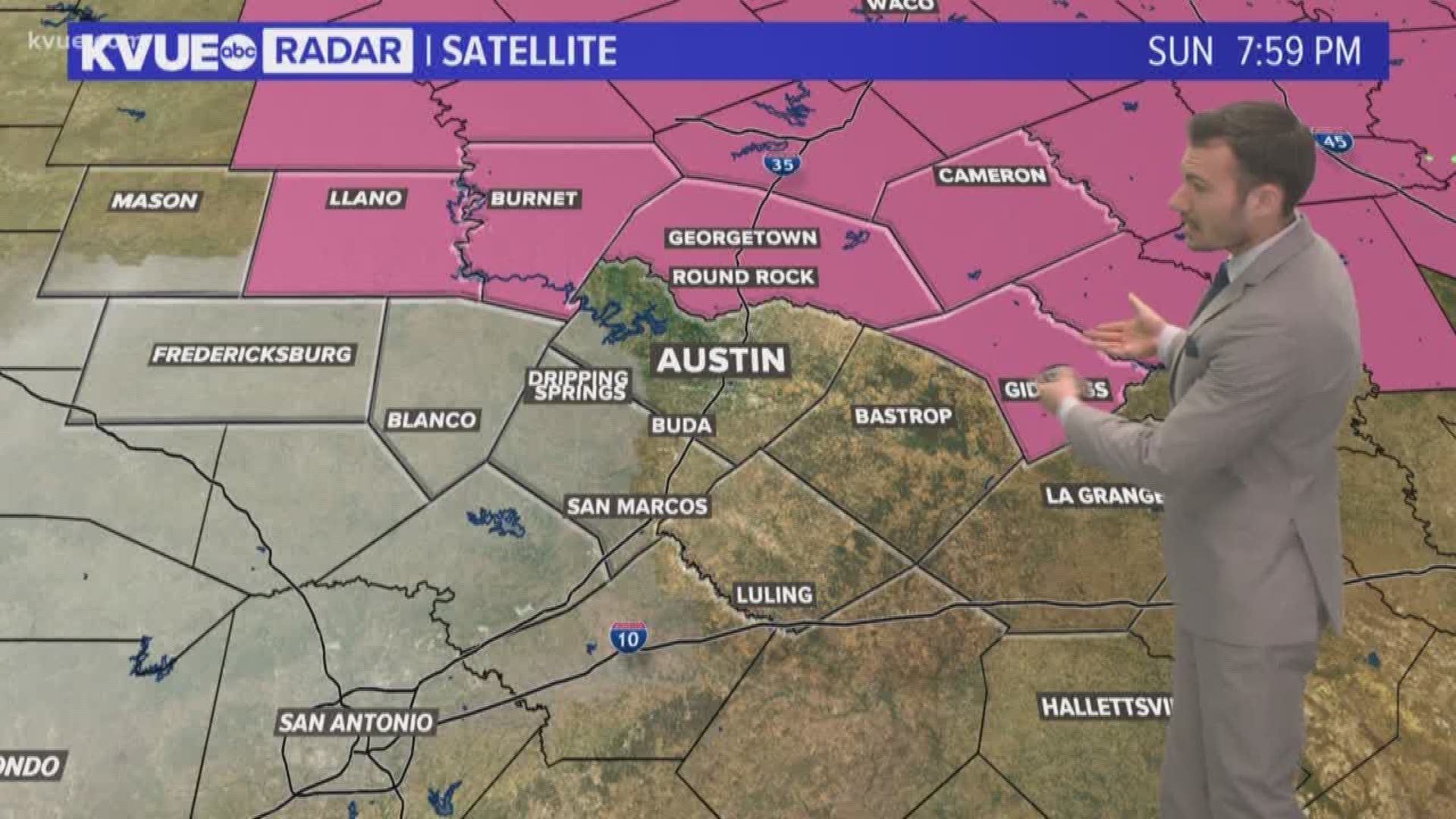
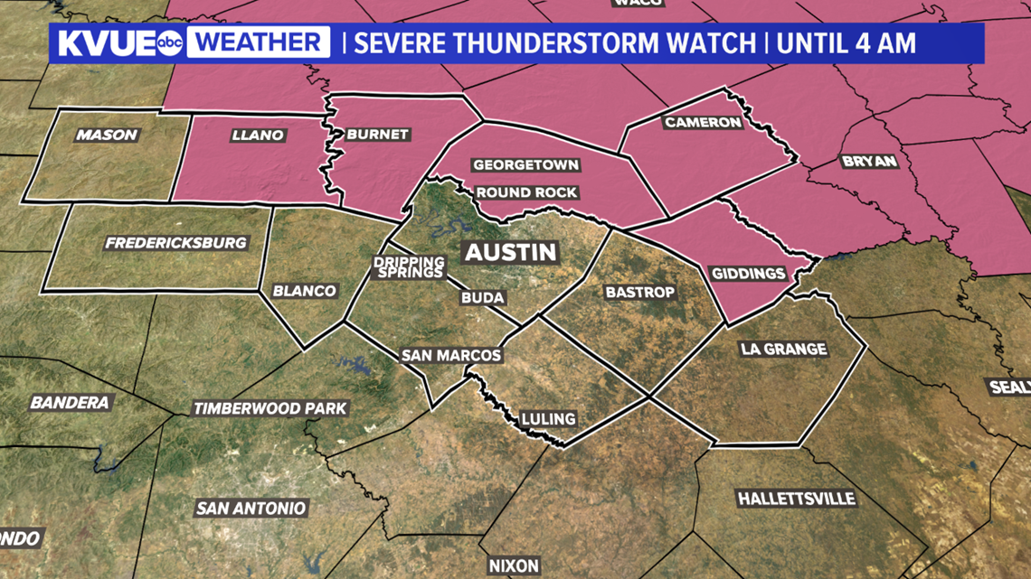
A Severe Thunderstorm Watch has been issued for Williamson, Llano, Burnet, Milam and Lee counties until 4 a.m. Monday.
![](https://media.kvue.com/assets/KVUE/images/2c3a5154-c215-4eca-a8da-eff16b1708c3/2c3a5154-c215-4eca-a8da-eff16b1708c3_140x79.png)
![](https://media.kvue.com/assets/KVUE/images/2c3a5154-c215-4eca-a8da-eff16b1708c3/2c3a5154-c215-4eca-a8da-eff16b1708c3_1140x641.png)
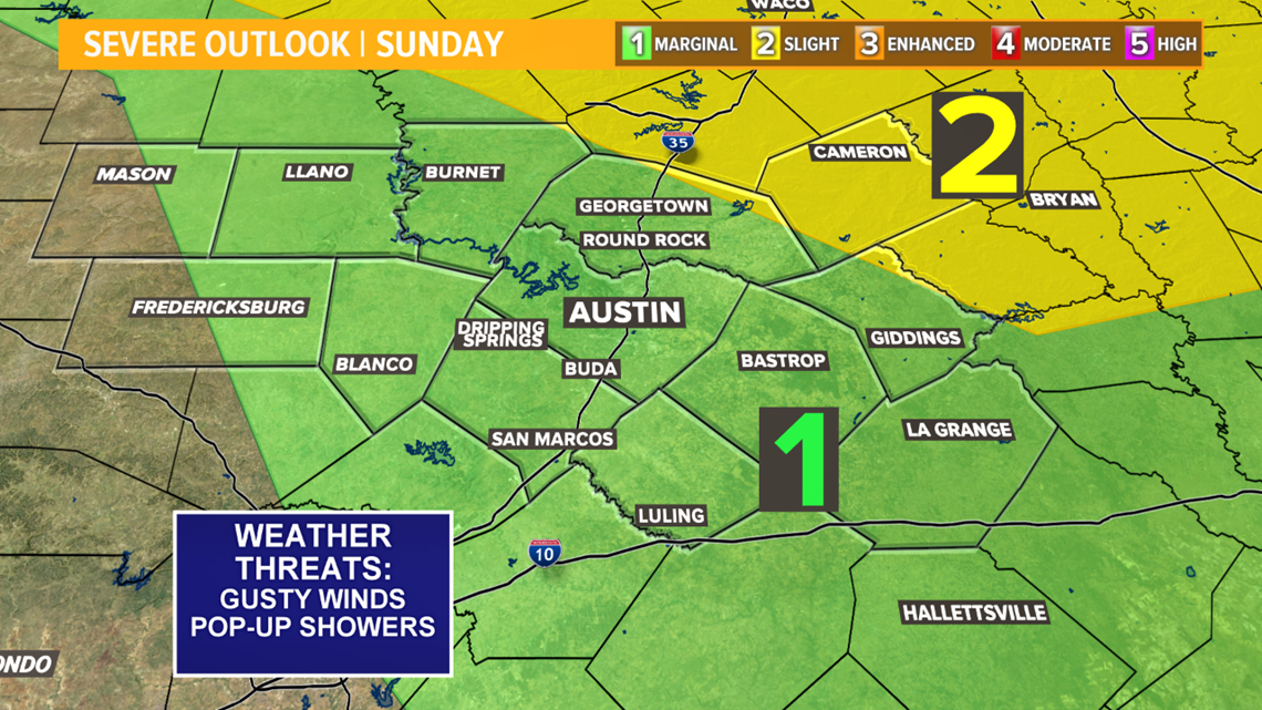
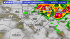
For Sunday evening and early Monday morning, our severe outlook for Central Texas includes a Marginal Risk (1 out of 5) and a Slight Risk (2 out of 5). That means a storm or two could pack a punch late Sunday night, early Monday morning with high winds and hail being the main threats.
![](https://media.kvue.com/assets/KVUE/images/bb96110c-2df5-477c-a14c-2a6883462515/bb96110c-2df5-477c-a14c-2a6883462515_140x79.png)
![](https://media.kvue.com/assets/KVUE/images/bb96110c-2df5-477c-a14c-2a6883462515/bb96110c-2df5-477c-a14c-2a6883462515_1140x641.png)
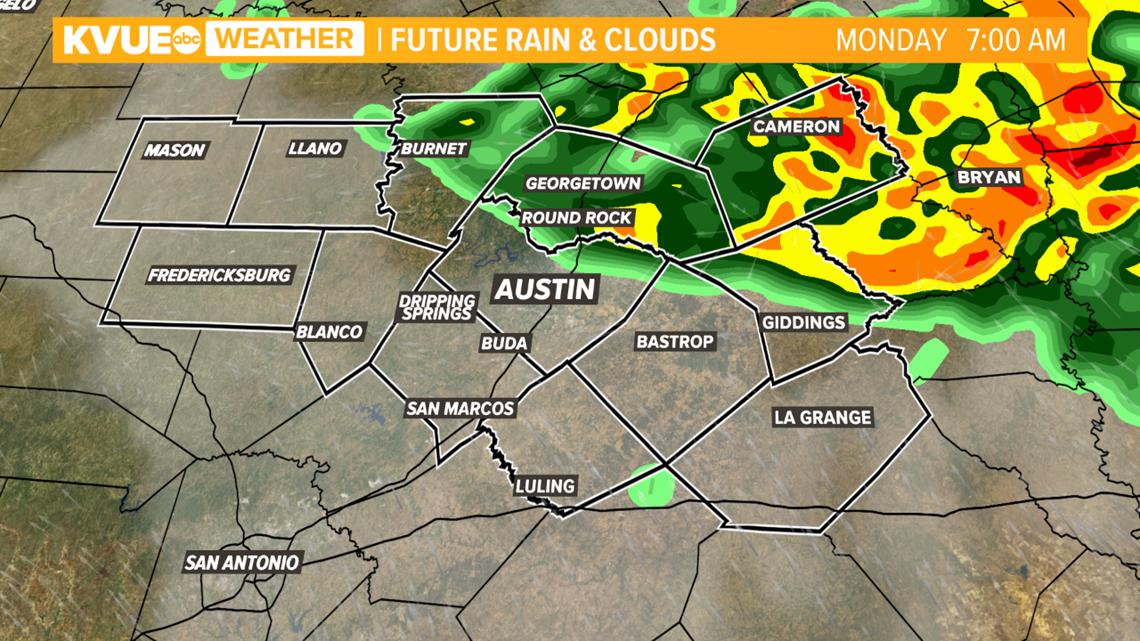
As of this posting, it looks like storms will roll through late overnight, after 2 a.m. The best chance of storms will be for areas north of the Austin metro.
![](https://media.kvue.com/assets/KVUE/images/69273b6a-6e42-4c33-bf41-b16c4812a357/69273b6a-6e42-4c33-bf41-b16c4812a357_140x79.png)
![](https://media.kvue.com/assets/KVUE/images/69273b6a-6e42-4c33-bf41-b16c4812a357/69273b6a-6e42-4c33-bf41-b16c4812a357_1140x641.png)
You may want to give yourself an extra few minutes heading out the door Monday morning as we could have some scattered rain around for the rush-hour commute.
![](https://media.kvue.com/assets/KVUE/images/23f1e709-b813-4a65-9401-92b9fe415287/23f1e709-b813-4a65-9401-92b9fe415287_140x79.png)
![](https://media.kvue.com/assets/KVUE/images/23f1e709-b813-4a65-9401-92b9fe415287/23f1e709-b813-4a65-9401-92b9fe415287_1140x641.png)
A few pop-up scattered storms are possible for Monday afternoon and evening, but there will be many dry hours. In fact, I think many places will get through Monday afternoon with no rain whatsoever.
![](https://media.kvue.com/assets/KVUE/images/03e18cd4-6bcf-45e2-aea5-cd8ea09e5c78/03e18cd4-6bcf-45e2-aea5-cd8ea09e5c78_140x79.png)
![](https://media.kvue.com/assets/KVUE/images/03e18cd4-6bcf-45e2-aea5-cd8ea09e5c78/03e18cd4-6bcf-45e2-aea5-cd8ea09e5c78_1140x641.png)
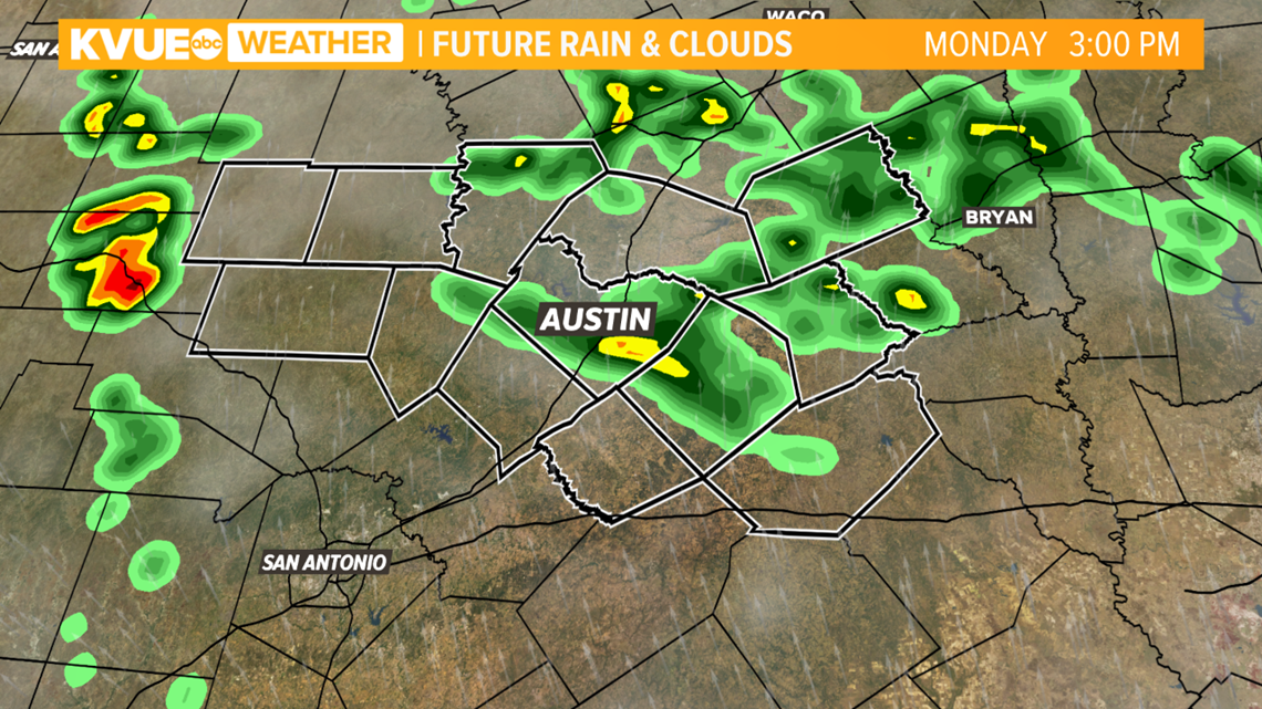
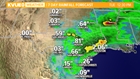
Rainfall accumulations through the next couple of days do not seem terribly impressive; however, expect higher amounts in the strongest activity ranging between one to two inches.
![](https://media.kvue.com/assets/KVUE/images/21f514e2-c9f6-47c6-a77c-da25e3f9fd10/21f514e2-c9f6-47c6-a77c-da25e3f9fd10_140x79.png)
![](https://media.kvue.com/assets/KVUE/images/21f514e2-c9f6-47c6-a77c-da25e3f9fd10/21f514e2-c9f6-47c6-a77c-da25e3f9fd10_1140x641.png)
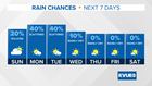
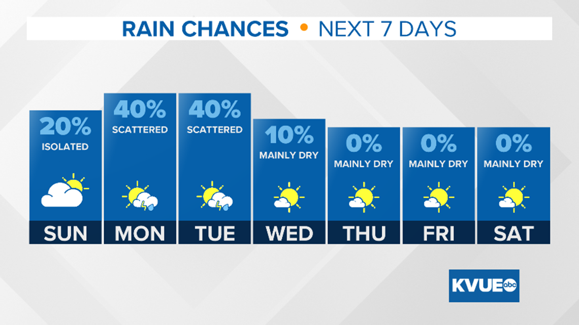
Take a look at the rain chances for the next seven days. Stay up to date with KVUE.
![](https://media.kvue.com/assets/KVUE/images/3cf8b464-09ec-460e-a163-5067f3451d55/3cf8b464-09ec-460e-a163-5067f3451d55_140x79.png)
![](https://media.kvue.com/assets/KVUE/images/3cf8b464-09ec-460e-a163-5067f3451d55/3cf8b464-09ec-460e-a163-5067f3451d55_1140x641.png)
PEOPLE ARE ALSO READING: