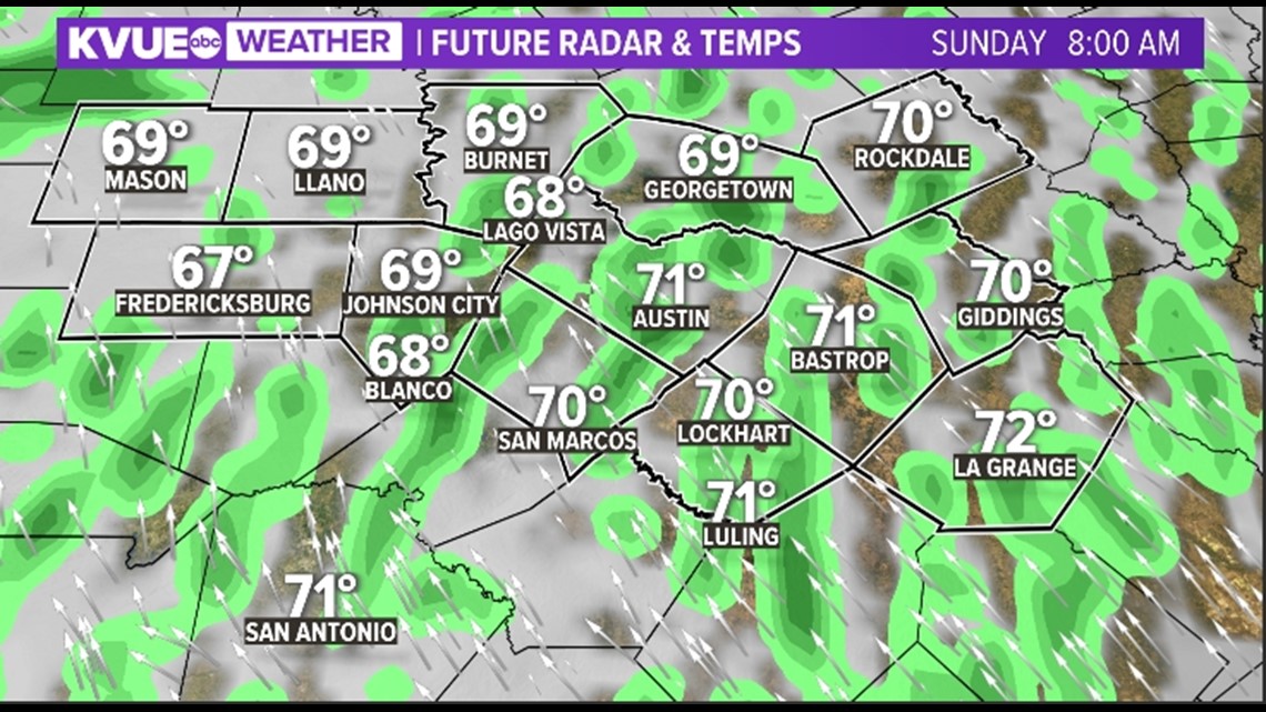
AUSTIN, Texas — We've had quite a warm weekend, as well as a windy one, but changes are on the way in the form of elevated rain chances as we start Sunday. We could be dodging a few isolated showers and maybe even a rumble of thunder.


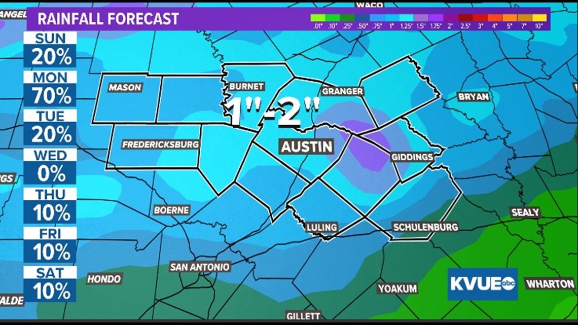
Rain chances only continue to increase late Sunday through Monday into early Tuesday. This is the result of an Arctic front that'll be moving into Central Texas at a really slow pace. This will allow for rainfall totals to get to around the one- to two-inch range with some places, especially west of Interstate 35, getting isolated higher amounts.


While one or two storms could be a hail producer, the main issue with this system will be widespread steady rainfall. Thus, unless your outdoor plans include putting on a swimsuit and playing in the rain (which we, for one, recommend because most of Central Texas, especially the Hill Country, has been going through it with this drought), then it'd be a great day to stay inside.
The KVUE Storm Team will continue to monitor this developing forecast. Download KVUE's app for the latest: kvue.com/app.
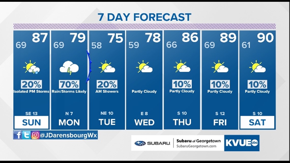
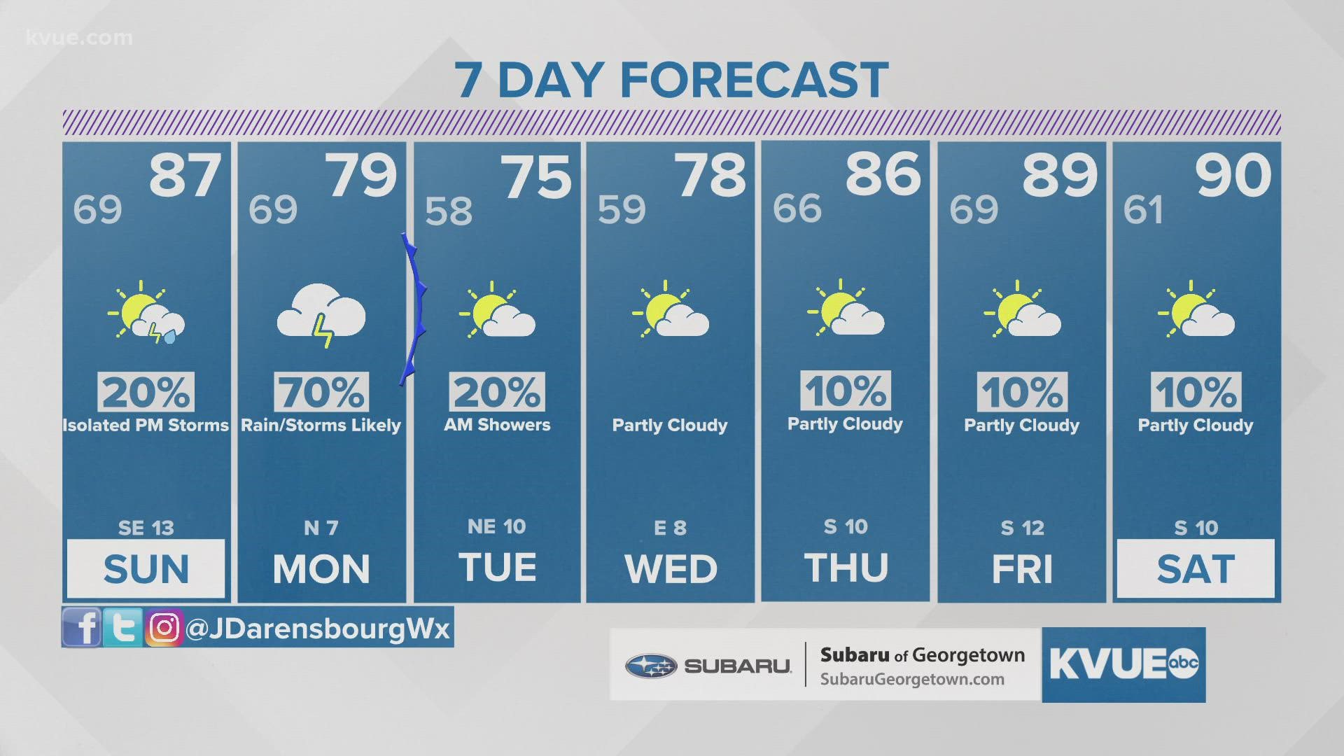
In the meantime, the extended forecast can be found below:


