AUSTIN, Texas — We've had dry conditions so far this week, but you might just have to break out your umbrella again as we get closer to the weekend.
Here's what we know so far.
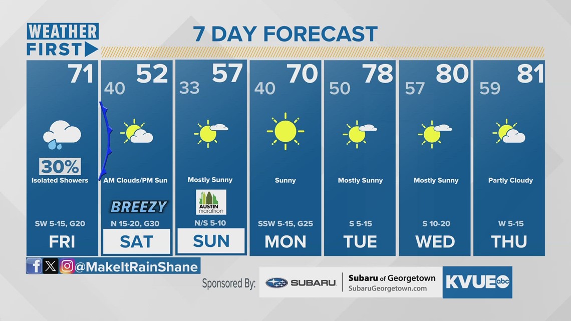
Cooling down for the weekend, then warming up for next week
We started off this week with a high of 62 degrees on Monday at Camp Mabry.
However, with the winds shifting to a more southerly flow, we should start to see some warmer temperatures as we head into the latter part of the week.


Rain returns to end the week
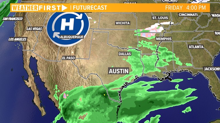
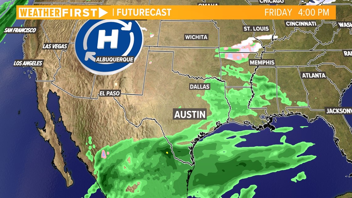
We're tracking an upper-level disturbance that will come in from Mexico, which would bring in yet another chance for a round of rain to much of Central Texas on Friday as the disturbance slides in from the southwest.
Forecast models from Tuesday morning keep the bulk of the rain south and east of Austin for late Thursday through Friday ahead of a cold front.

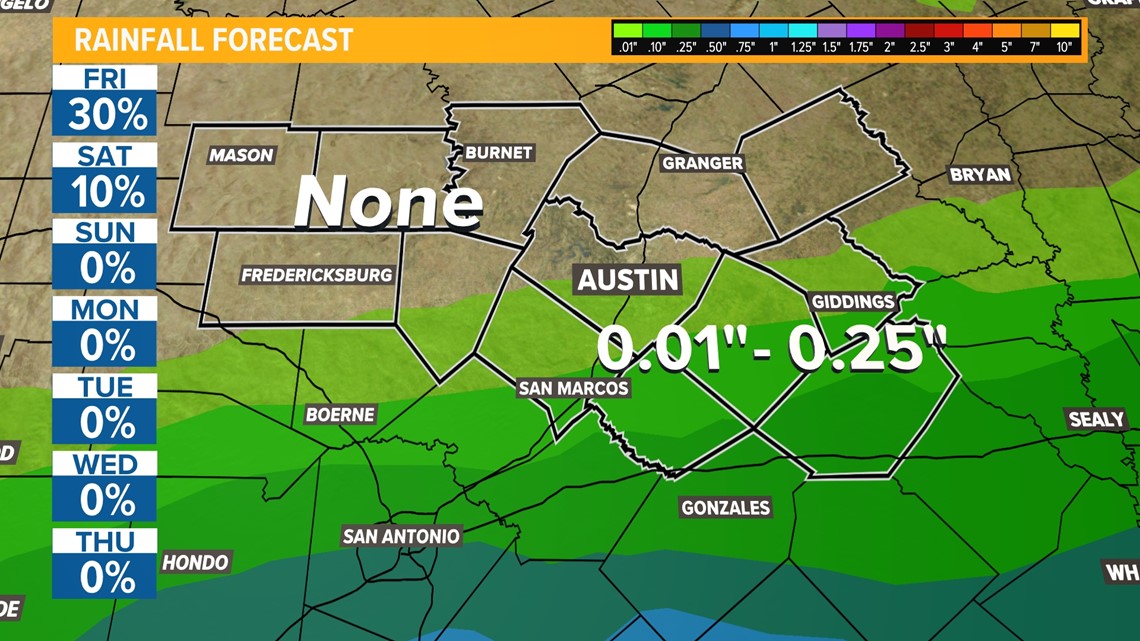
High pressure pushing in from the north will push rain chances far east, mostly favoring counties east of the Interstate 35 corridor for Central Texas.

Forecast models aren't promising
While many are hopeful we could have good rainfall totals in Central Texas with this next system, early model data shows we won't get the amount of rain some areas experienced with Sunday's storms. In fact, some areas will not even get one-tenth of an inch.


Stick with KVUE for the latest on your forecast.
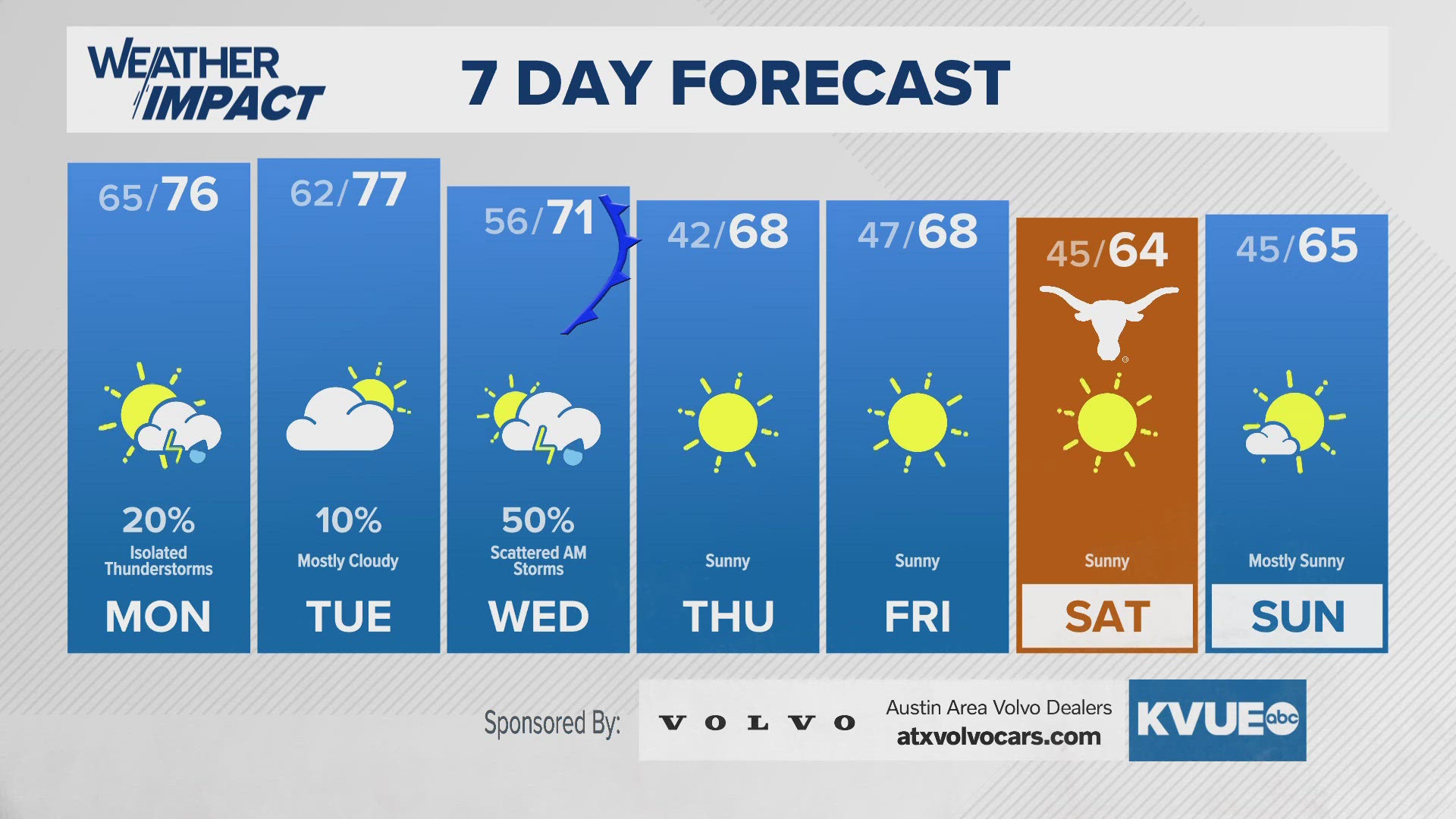
In the meantime, your seven-day forecast is below.

