AUSTIN, Texas — Although astronomical fall does not end until Dec. 21, we have now officially closed the door on meteorological fall, which is the three-month period of September, October and November. It will likely come as no surprise that this fall was extremely warm and very dry, but how does it stack up in the record books?
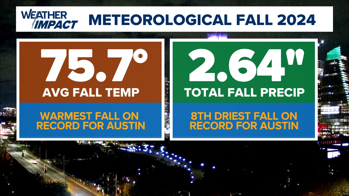
It's now official: Meteorological fall 2024 will go down as the warmest ever recorded in Austin, with recordkeeping dating back to 1897. And if that's not impressive enough, it wasn't even particularly close.
The average temperature through fall 2024 in Austin was 75.7 degrees. Remember, the average temperature is simply taking the average of each morning low and afternoon high for every single day through the fall and averaging all of those numbers together.


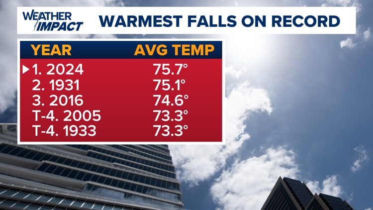
The next warmest fall on record for Austin was all the way back in 1931, when the average temperature for the season was 75.1 degrees. So this year, we beat second place by over half a degree. That's a sizable margin when looking at an average that spans three months.
As you can see below on the list of top five warmest falls on record, three of the top five have happened over the past 20 years.


It was not just very warm – it was also incredibly dry. Meteorological fall brought just 2.64 inches of rain for the entire season. A normal fall would bring 10.28 inches of rain.
Interestingly, the vast majority of the rain we saw this fall (1.94 inches) came from a single storm system. Without that one system, we'd be in even worse shape with our drought and lake levels.

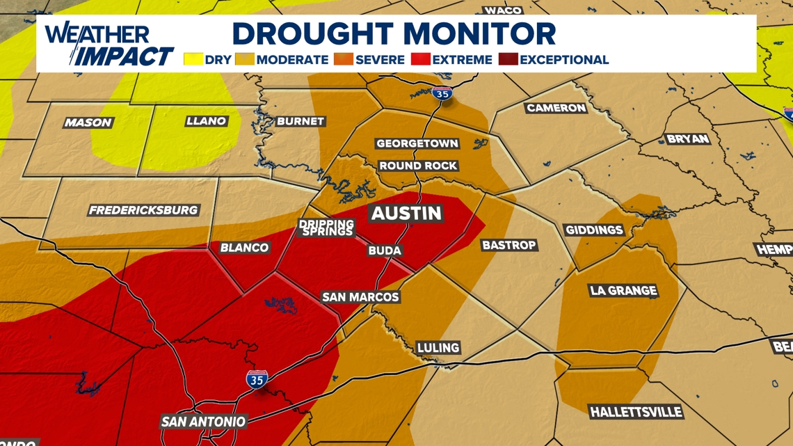
Speaking of drought, conditions rapidly worsened through much of this fall, with "extreme" drought now in place for parts of the Austin metro and Interstate 35 corridor.

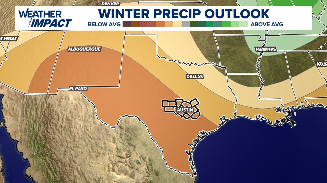
Our fingers are now crossed for beneficial rain as we go into the winter, but we're not holding our breath based on the current outlook for the winter, which favors drier-than-normal weather.

