AUSTIN, Texas — Happy Friday! We have made it to the end of the workweek, after a first freeze in a few spots Thursday morning.
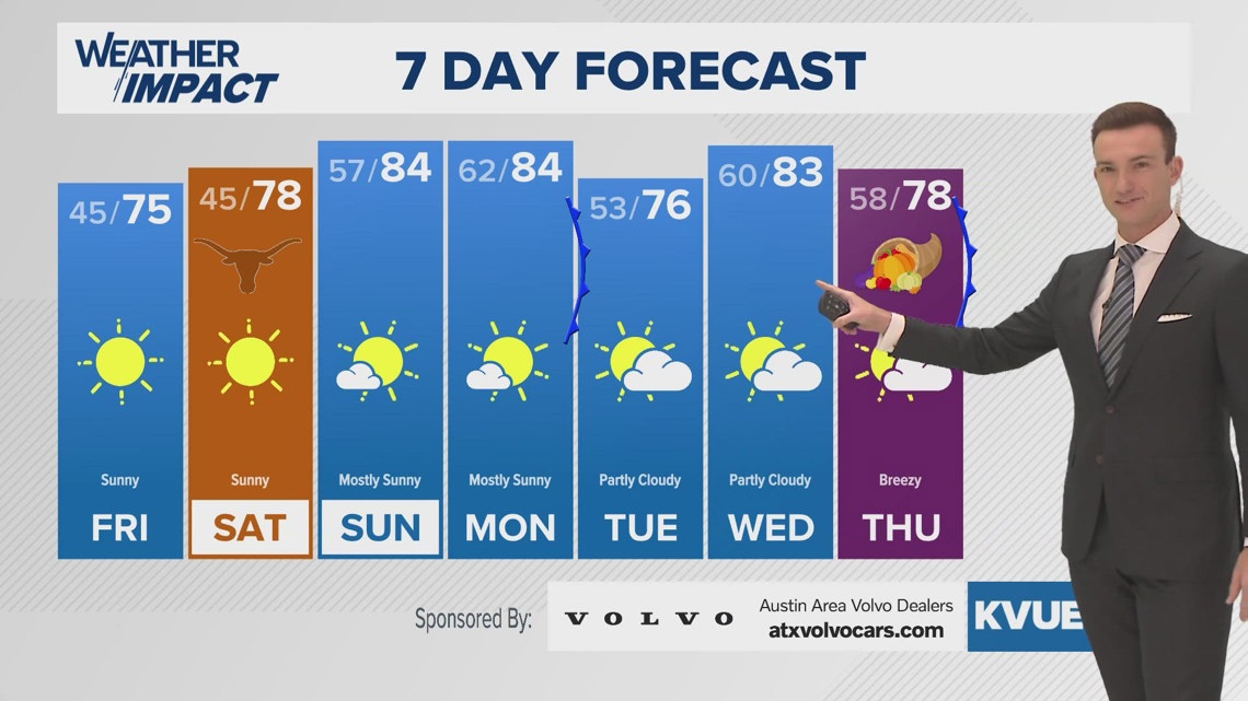
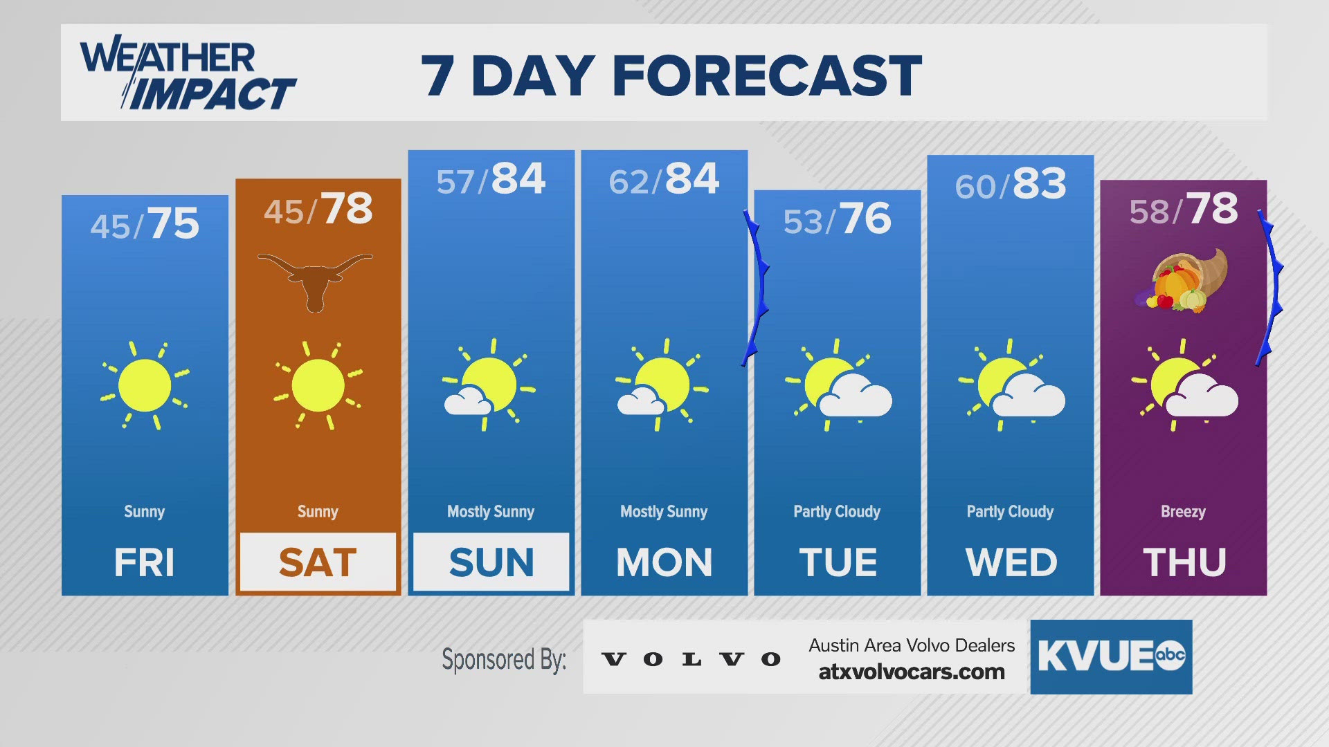
We won't start off as chilly Friday, with lows only getting down to the upper 30s in the Hill Country with low to mid-40s elsewhere. Highs Friday will get to the lower to mid-70s, so we're looking at similar conditions to Thursday, when Camp Mabry got to 72 and the Austin airport got to 73.
For the weekend, we gradually warm up with highs in the upper 70s for Saturday, pleasant weather for the Longhorns as they take on Kentucky. We get even warmer Sunday afternoon with highs in the mid-80s, with the same going for Monday.
However, we're tracking a frontal boundary that will bring in a good cooldown for Tuesday, with lows Tuesday morning down to the lower 50s, before another warmup for Wednesday, with lower 80s for highs ahead of another front into Thanksgiving.
Whew! That seems like a lot, but this is Texas this time of year.
FRIDAY MORNING:
Clear and chilly. Light west wind.
LOW: 45
FRIDAY:
Sunny and beautiful. Light winds.
HIGH: 74
FRIDAY NIGHT:
Mostly clear and chilly. Light wind.
LOW: 47
SEVEN-DAY FORECAST:


Check out the live radar for what you can expect the rest of the day and into the workweek.

