
AUSTIN, Texas — We've made it to the end of another hectic work week here in Central Texas!
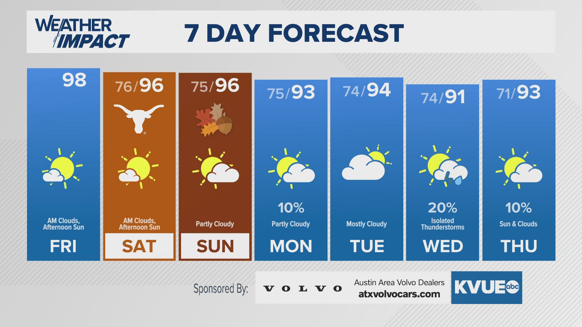
While a couple weeks ago we had that "false fall" with below average highs, the heat of "second summer" has taken hold across our region. This should continue Friday after a few morning clouds clear up.
We could have some radiational fog involved for the most humid spots to start your day, but highs will again reach the upper-90s to near triple digits in some spots. We've had 2,000 such days ever at Camp Mabry, and this could be the last chance to hit that century mark in 2024.
This is because a weak "cool front" will come in to start next week, with isolated to widely scattered storm chances possible for most of the week, along with highs in the lower 90s. That front might fizzle out and dissipate over our region.
As for the tropics, we're tracking a system in the western Caribbean with a 40% chance of development over the next week. While some models show the system organizing eventually and becoming a named storm, we cannot concretely determine its track at this time.
Stick with the KVUE Weather Impact team for all the latest on this.