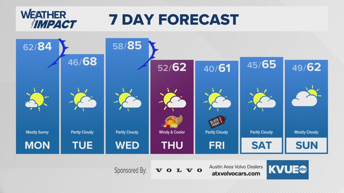
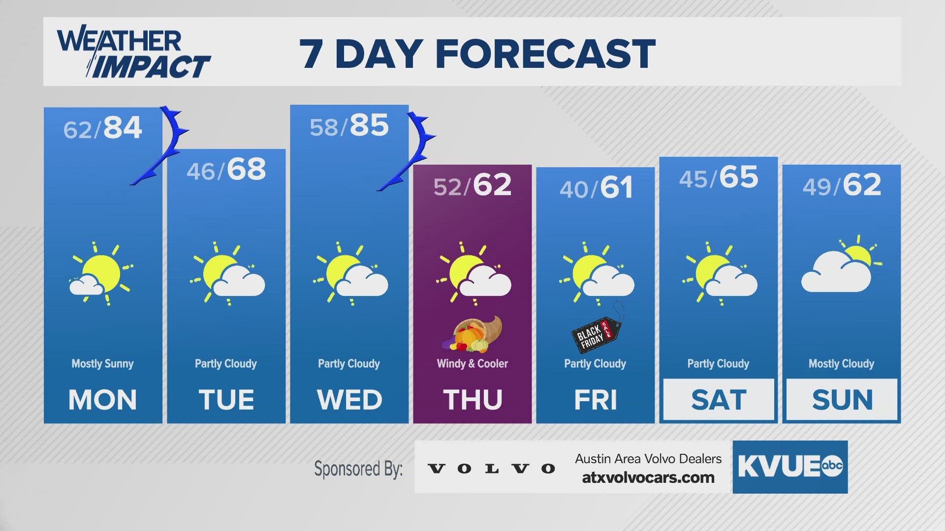
AUSTIN, Texas — An active week of weather is ahead for Central Texas. We're not tracking any rain that will impact holiday travels, but we are tracking multiple cold fronts that will bring a roller coaster of temperatures through this week.
The first cold front of the week will arrive Monday afternoon. Ahead of the front, Austin will warm into the mid 80s by about 2 p.m., but after that point the front will pass through and our weather quickly turns windy and cooler through the late afternoon and evening. Behind this front, Tuesday morning will start in the 30s and 40s, and afternoon highs will stay in the 60s under a partly cloudy sky.
Temperatures will quickly rebound into the 80s on Wednesday ahead of an even stronger cold front. The front passes through Central Texas late Wednesday night, and by Thanksgiving morning we are once again breezy with temperatures in the 40s and 50s. Thanksgiving Day will be partly cloudy and windy with afternoon temperatures in the 50s to low 60s.
This time our weather will stay cool for a while. There's still no rain in the forecast for Black Friday or the weekend after Thanksgiving, but high temperatures will stay in the 60s with mornings in the 30s and 40s. Plan on more chilly weather for the start of December!
SUNDAY NIGHT:
Partly cloudy. Not as cold. South wind at 5 to 15 mph.
LOW: 62
MONDAY:
Mostly sunny. Warm through early afternoon, then turning cooler and windy late day. Southwest wind turning north at 10 to 20 with gusts to 25 mph.
HIGH: 84
MONDAY NIGHT:
Partly cloudy. Breezy and chilly. North wind at 10 to 15 mph.
LOW: 46
SEVEN-DAY FORECAST:


Check out the live radar for what you can expect the rest of the day and into the workweek.

