AUSTIN, Texas — We're already looking ahead to the upcoming week, which will very likely feature the hottest weather so far of the summer. However, before we get there, we have on more day with a small opportunity for rain on Sunday.
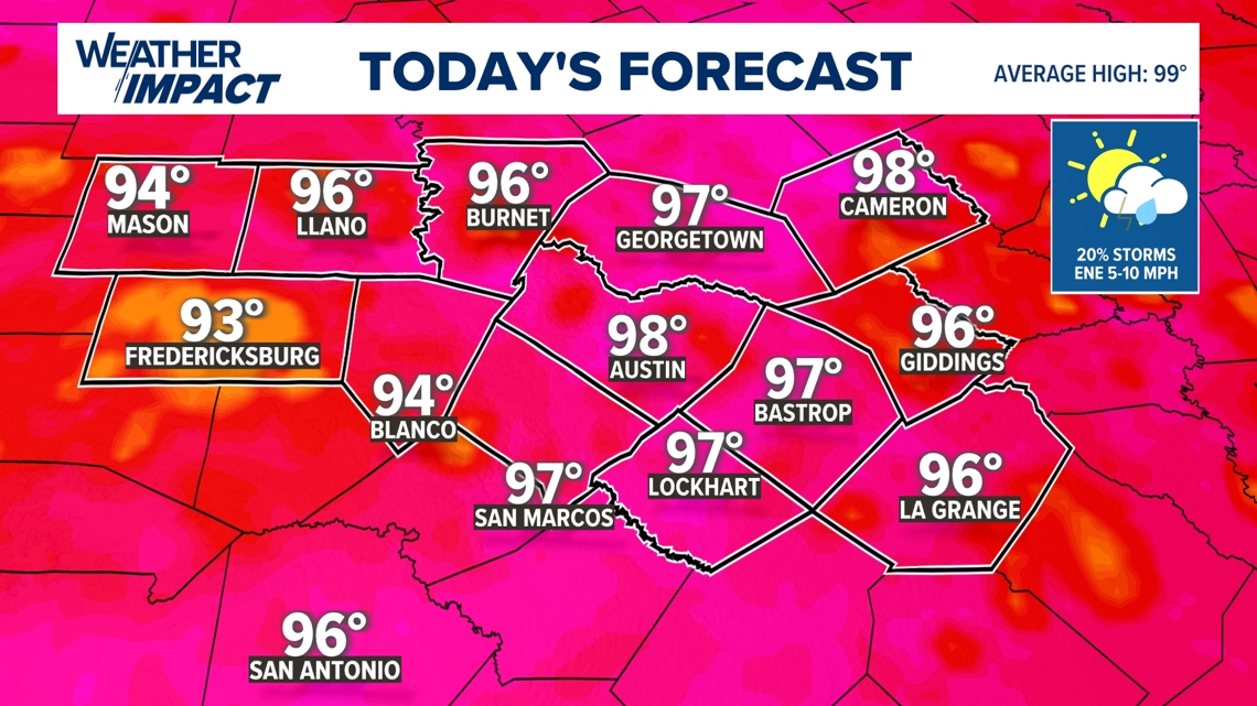
Isolated showers and thunderstorms developed early Sunday morning, but this early-morning activity will likely continue to fade through the first half of the day. If you have plans to be outdoors, there will be lots of dry time, especially in the middle of the day. High temperatures on Sunday will also trend a little cooler, with most areas reaching the mid- to upper 90s.


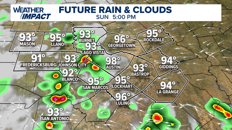
A stalled frontal boundary just to our north will interact with the warmth and humidity of the afternoon to generate another round of isolated showers and storms for the mid-afternoon into the early evening hours.
Once again, not everybody will see rain. The chance for rain overall is only about 20%, but where storms are able to develop they could produce lightning and brief heavy rain.
If you have plans to be outdoors, just keep an eye to the sky and have a backup plan indoors. Any storms should fade shortly after sunset as we loose the daytime heating.


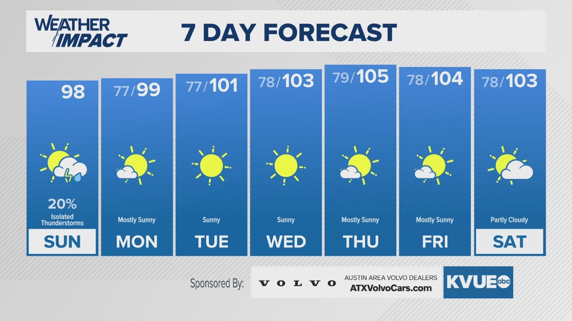
Sunday will be the last day with any sort of rain chance for a while. Temperatures will quickly build through the upcoming week, and we're now expecting our hottest weather so far of the summer by the middle and end of the week.
Highs temperatures Wednesday through Saturday will be in the 103- to 105-degree range. It's possible heat alerts or Weather Impact Alert Days could be needed.
The KVUE Weather Team will continue to closely monitor this developing forecast.
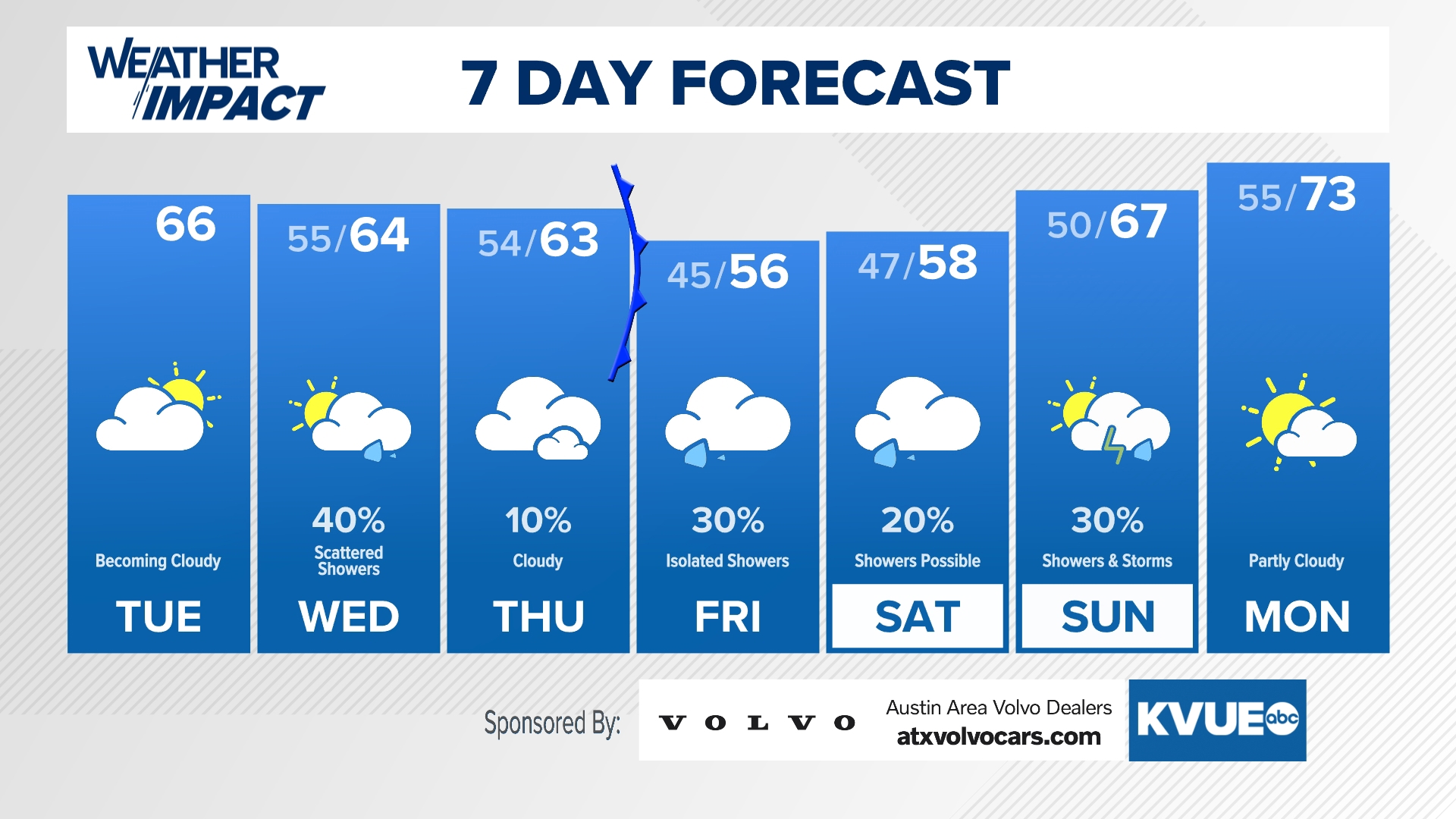
In the meantime, the extended forecast can be found below:


