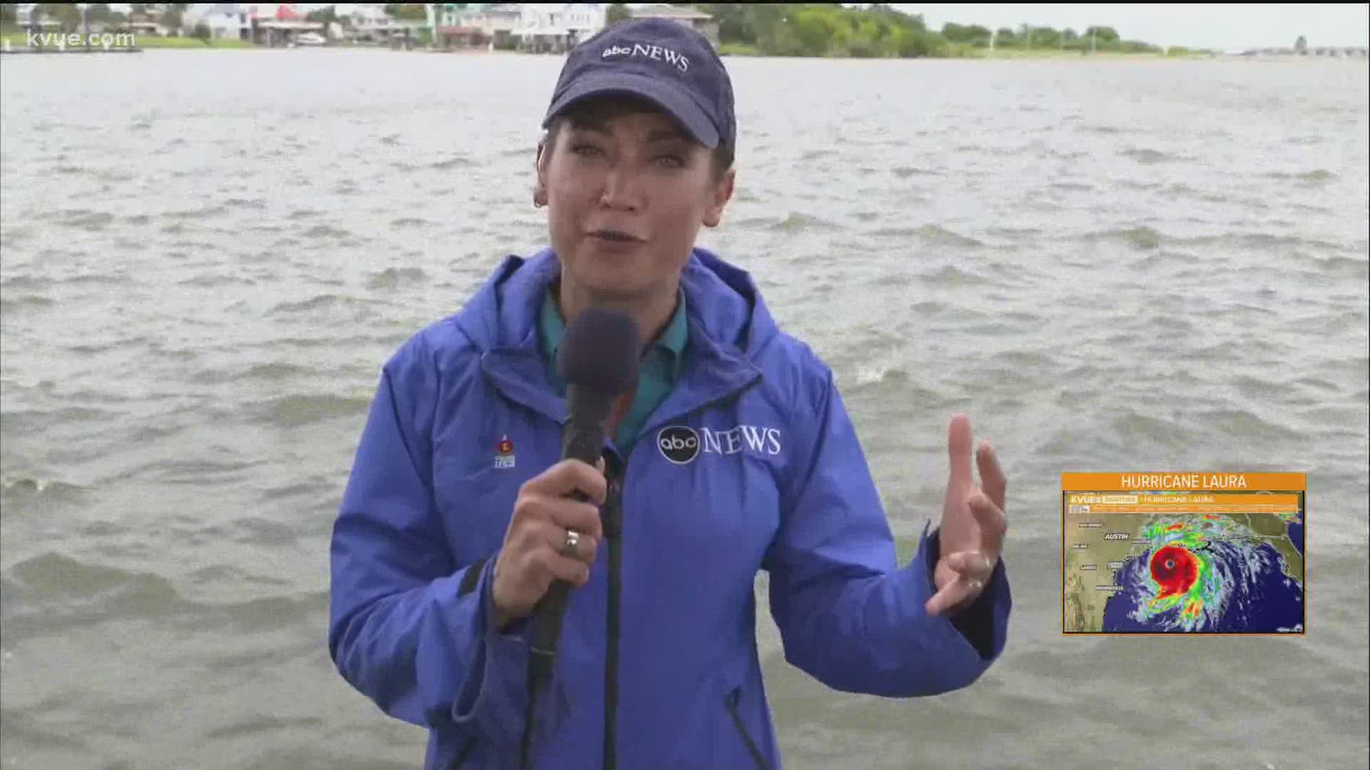
PORT ARTHUR, Texas — As Hurricane Laura continues to make its way through the Gulf of Mexico toward an expected landfall early Thursday morning, ABC News Chief Meteorologist Ginger Zee joined KVUE Chief Meteorologist Erika Lopez to discuss the storm.
Here's a full transcript of their conversation:
Erika Lopez: "OK, we're joined now by ABC News Chief Meteorologist Ginger Zee. Ginger, thanks for joining us. The latest advisory just came out from the National Hurricane Center. Wind speeds continue to increase. What are your thoughts on how close this system will get to a Cat. 5?"
Ginger Zee: "I think it's going to be right along the line. But, honestly, it doesn't matter at this point because I've done a Cat. 5 just a couple of years ago in Hurricane Michael. I've seen four, three, two, one. Every single one of these storms has a unique fingerprint, and it can be a tropical storm that does significant damages and kills many people. So, when you talk about the words "unsurvivable storm surge" – and that was in the warning from the National Hurricane Center – it starts here and heads east through southwest Louisiana.
That's what I want everyone to be concerned with, right behind me. That's called Sabine Lake. And about 12 miles from there is the start of the Gulf of Mexico. Approximately 130 away from us to our southeast is Hurricane Laura. And you can see how susceptible everybody here along these waterways are. And imagine 10 to 20 feet that goes up above people's decks into their homes, even if they're raised too, we could see significant water damage from storm surge even 30 miles inland. But we could also see winds gusting to 120, 130 mph. And some of the models and some of the things trying to say up to 140. Either way, you talk about significant wind damage, even if you're not on the storm surge side of the storm.
So, I've done us, as I mentioned and Michael, you've watched, I've watched homes be ripped from their foundation, went down the street, torn into pieces on other debris. And that's, unfortunately, the types of pictures I anticipate that we will see by tomorrow morning. So, I do think that there'll be considerable damage.
I know that a lot of folks have evacuated. We've only seen a select few that have stayed behind. And all of the warnings are there. All of the emergency evacuation zone officials have said, 'Listen, we can't help you for 24 hours. So, it's on you now.' But [it's] six hours before things get really hairy, and we'll be here to cover it throughout the night."

