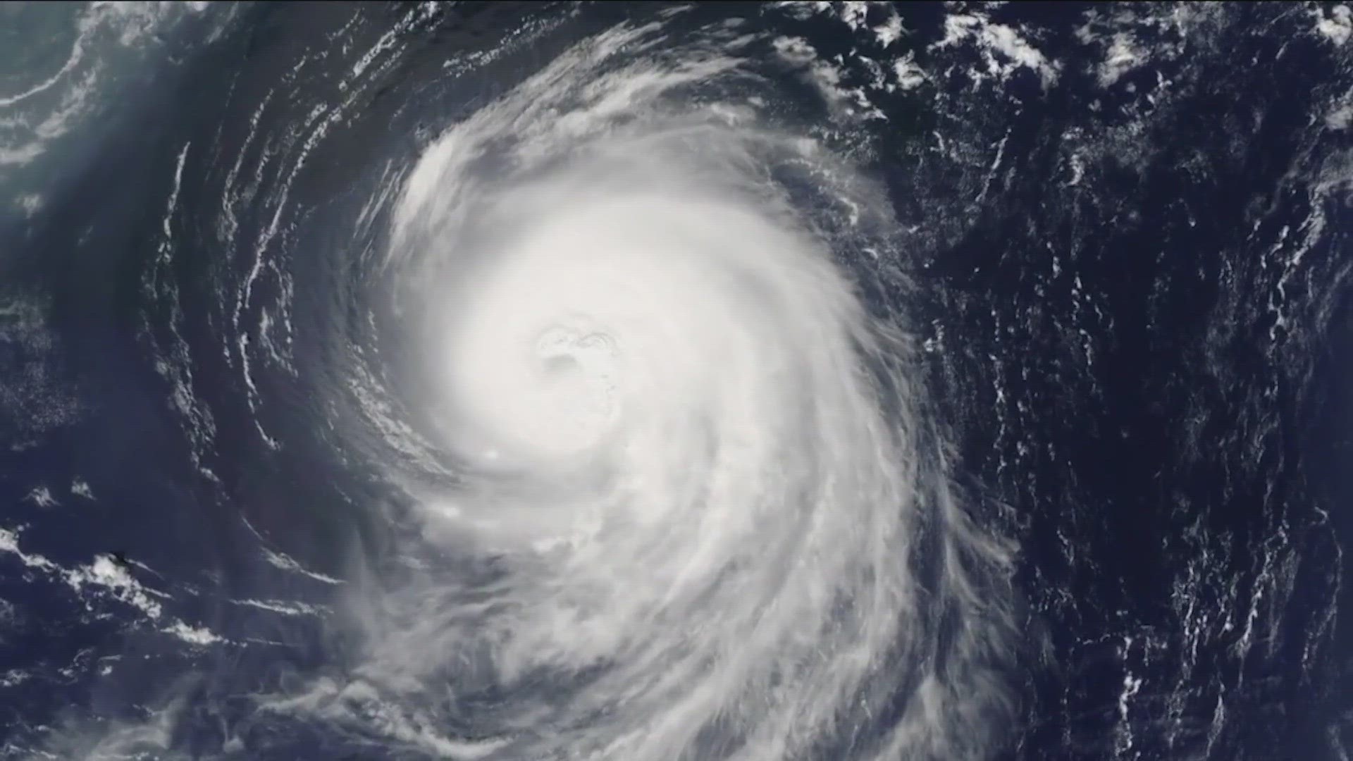
AUSTIN, Texas — The end of the 2023 Atlantic hurricane season is right around the corner, on Nov. 30. But it has already earned itself a spot in the record books.
Hurricane season runs from June 1 through Nov. 30. With it being an El Niño season, projections initially pointed to what should have been a quiet year in the Atlantic.
However, as the season started, it was clear that this year would defy odds. This season officially ranks among the most active on record.
As of the morning of Nov. 16, 2023 has had a total of 20 tropical systems develop. This ties for the fourth most active Atlantic season on record. The current record was 2020, with a total of 30 named storms.

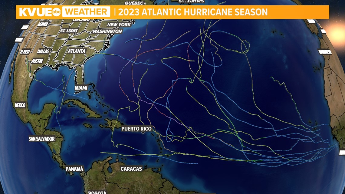
But what lead to this abnormal tropical season? KVUE Meteorologist Shane Hinton spoke with Brian McNoldy, a senior research associate at the Rosenstiel School of Marine, Atmospheric, and Earth Science in Miami, Florida, for his analysis of the 2023 hurricane season.
McNoldy mentioned we entered the season with record-warm ocean temperatures across much of the Atlantic Ocean. This is a key ingredient for the development and intensification of tropical systems.
However, the projected El Niño event was an interesting curveball when it came to forecasting how active the hurricane season would be in the Atlantic. Tropical systems require several ingredients to develop including thunderstorm activity, low wind shear and warm ocean temperatures.
El Niño seasons typically bring higher levels of wind shear to the Atlantic Ocean, but McNoldy said the warmer ocean temperatures were able to help tropical developments overcome the wind shear.

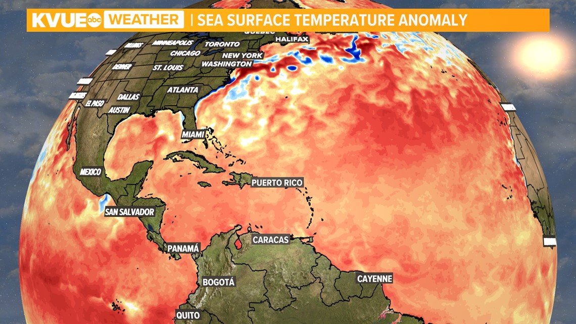
Ocean temperatures achieved record-breaking status this year since March and continue to trend well above normal for this time of the year. When asked about the cause for the warmer ocean temperatures, McNoldy said one big reason was due to a weakened subtropical high-pressure system in the Northern Atlantic, sometimes referred to as the Azores High or Bermuda High.
It is normal for this high pressure to shift east and west throughout the year.

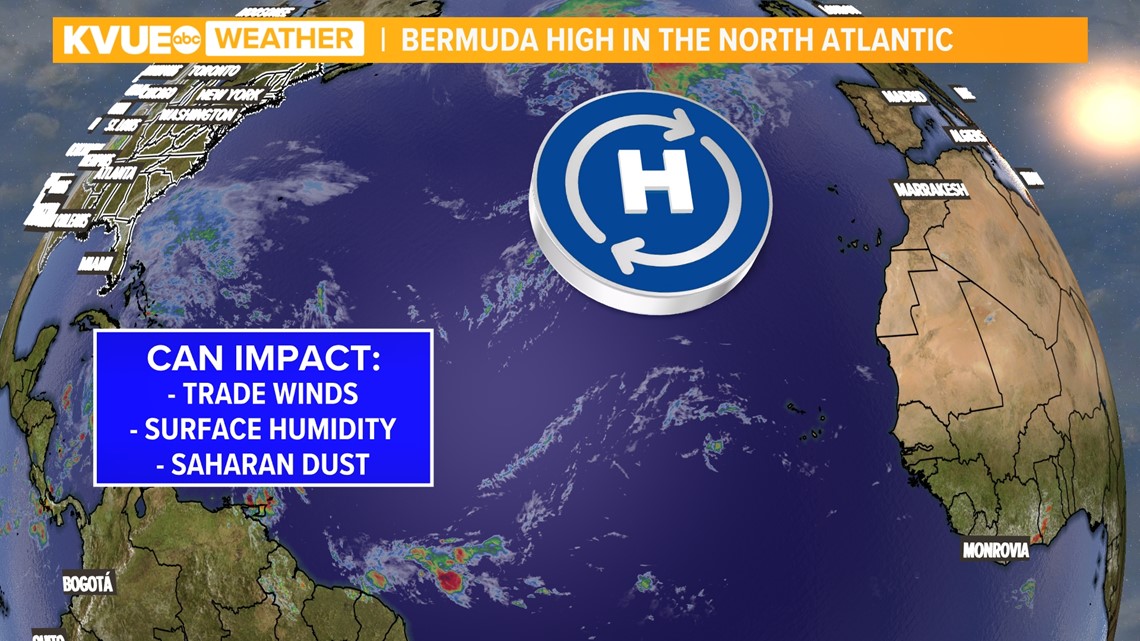
The strength of the Azores High can impact the trade winds, which play a role in the evaporative cooling process at the top of the ocean’s surface. In this case, the trade winds were weakened, which lead to less cooling. McNoldy said the weaker high pressure also allowed conditions to stay more humid near the surface, which also favors tropical development.
But why was the Azores High weaker this season? McNoldy said there isn’t a definitive answer to that question.
Is climate change to blame for the unexpectedly active tropical season? The answer isn’t black or white. McNoldy doesn't think we've entered a new category of sea surface temperatures in the Atlantic, but that this was just an anomaly of a year. However, he did mention climate change is gradually increasing ocean temperatures across the globe.
Recent reports from the National Oceanic and Atmospheric Administration (NOAA) said in May of this year that greenhouse gas-induced warming may have affected Atlantic hurricane activity since 1980, but there is not high enough confidence to confirm this just yet.
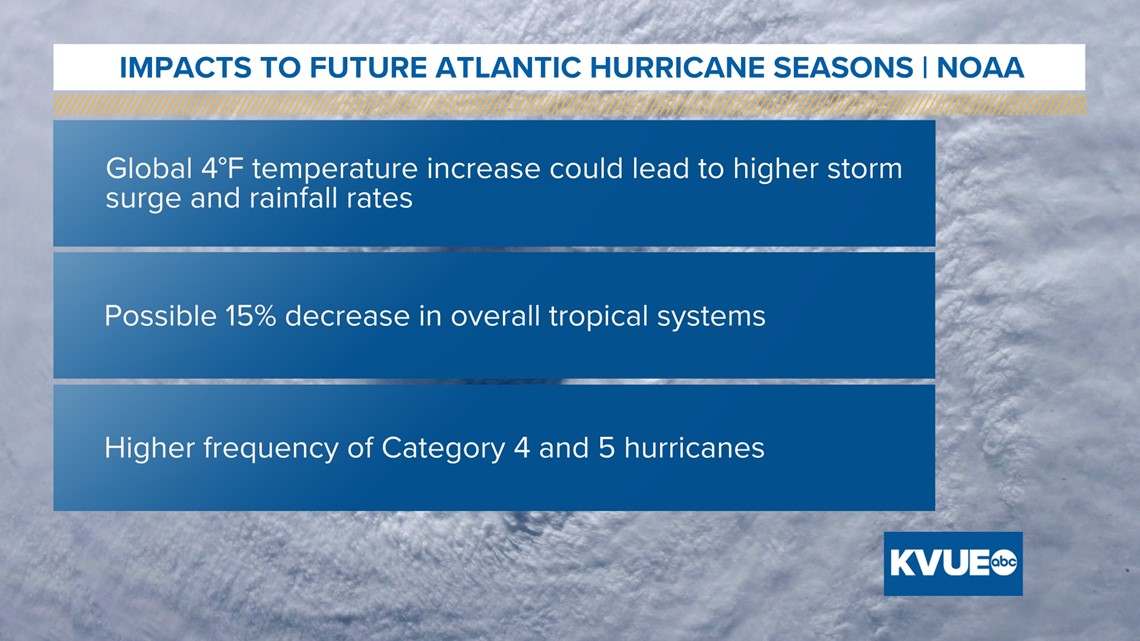
NOAA also reported if the global temperature increases by 4 degrees Fahrenheit, impacts to tropical seasons in the Atlantic Basin could include elevated storm surge and heavier rainfall rates. An interesting impact would be the possibility of less overall tropical systems by about 15%, but a higher frequency of Category 4 and 5 hurricanes..

You might be curious if climate change will impact the path of future tropical systems and possibly steer them closer to the Gulf of Mexico and Texas. While it is possible, NOAA reports there isn’t enough agreement on the effect at this time.

