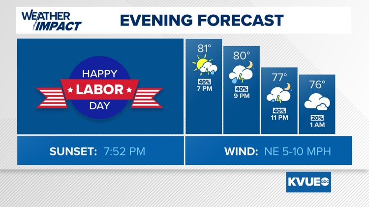
AUSTIN, Texas — It won't be a washout Monday evening, but we do expect scattered showers and storms to remain a possibility across Central Texas even after sunset. If you have outdoor plans to close out Labor Day, we recommend having a backup option indoors just to be safe. Overall the rain chance through the rest of Monday evening is 40% to 50%.


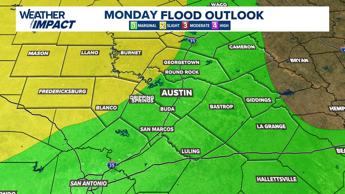
While there is not a major flooding concern for the KVUE area, there is a low-end risk for some minor flooding. Areas west of Interstate 35 are included in the level 2 of 4 flood threat from the Weather Prediction Center, and Mason County is under a Flood Watch through Tuesday evening.
Again, we don't expect major problems, but if you encounter any flooded roads or low water crossings remember: Turn around, don't drown.

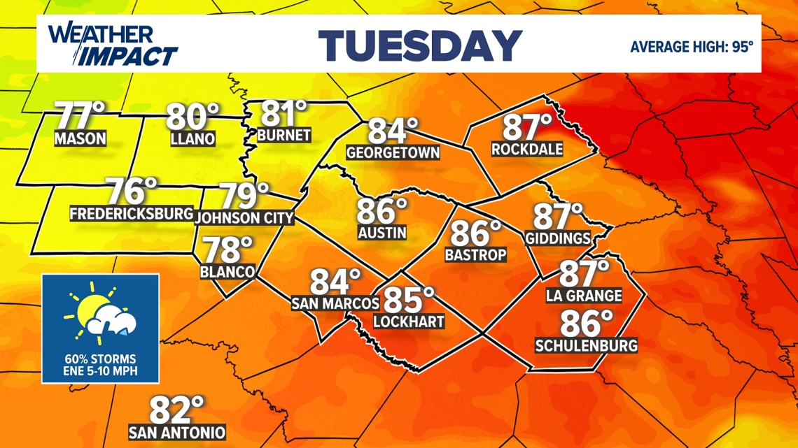
The KVUE area is positioned between a stalled frontal boundary and an area of low pressure in the Gulf of Mexico. This will keep a chance for scattered to numerous showers and storms in the forecast through Tuesday. The overall rain chance on Tuesday is once again around 50% with a minor risk for isolated flooding.
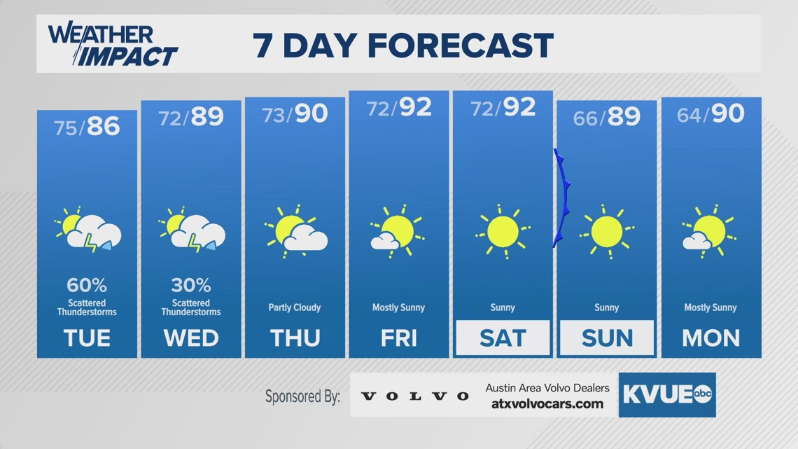
The rain and added cloud cover on Tuesday should keep afternoon highs 5 to 10 degrees cooler than average for this time of the year, in the 80s for most locations!

After a lingering rain chance on Wednesday, rain chances quickly go away for the rest of the week as highs return to the 90s. Over the weekend, we're looking ahead to a nice little cold front that could drop humidity quite a bit for Sunday into early next week. We don't expect rain or a big impact on afternoon temperatures, but this should bring in some very refreshing morning temperatures in the 50s and 60s.
The KVUE Weather Team will continue to monitor this developing forecast.
In the meantime, the extended forecast can be found below:

