AUSTIN, Texas — ***NOTE: This is no longer a working blog. Visit this blog for details on Austin's next cold front. ***
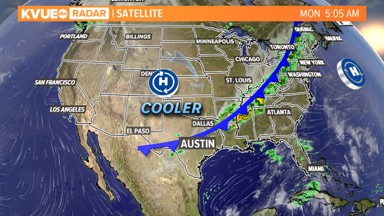
It's finally here! The moment we have all been waiting for will occur not only once, but twice this week. Our first cold front moved in early Monday morning dropping temperatures into the 60s and 70s throughout Monday afternoon and 50s by Tuesday morning.
The setup isn't as precarious as one might think. The average high temperatures should be topping 85 degrees and lows should be around 64 degrees. We closed out September with the hottest month on record and October began with a new record. So, yes, it's time.

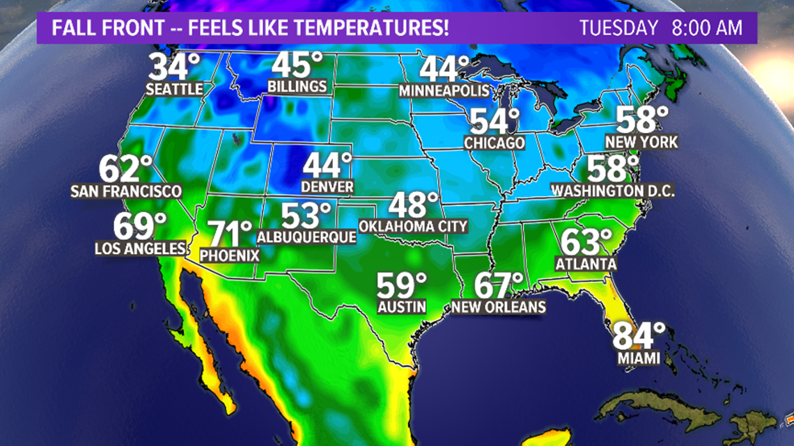
By Tuesday morning, northerly winds will have done their job and not only cut out temperatures back, but also brought in dry air. So our feels-like temperatures Tuesday morning will mirror something like Chicago, Washington, D.C., or New York City, but only farther south in the nation.


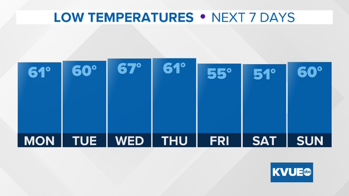
By mid-week, a subtropical ridge regains control of the board and pushes temperatures back into the upper 80s and perhaps low 90s in the metro and it feels like summer again. Then, another weather whiplash comes back in from the north and west and takes us down again into the mid-70s for highs Friday and mid to low 70s for Saturday. A few pop-up showers and storms could accompany this frontal boundary. Saturday will be the coolest day of the season yet.

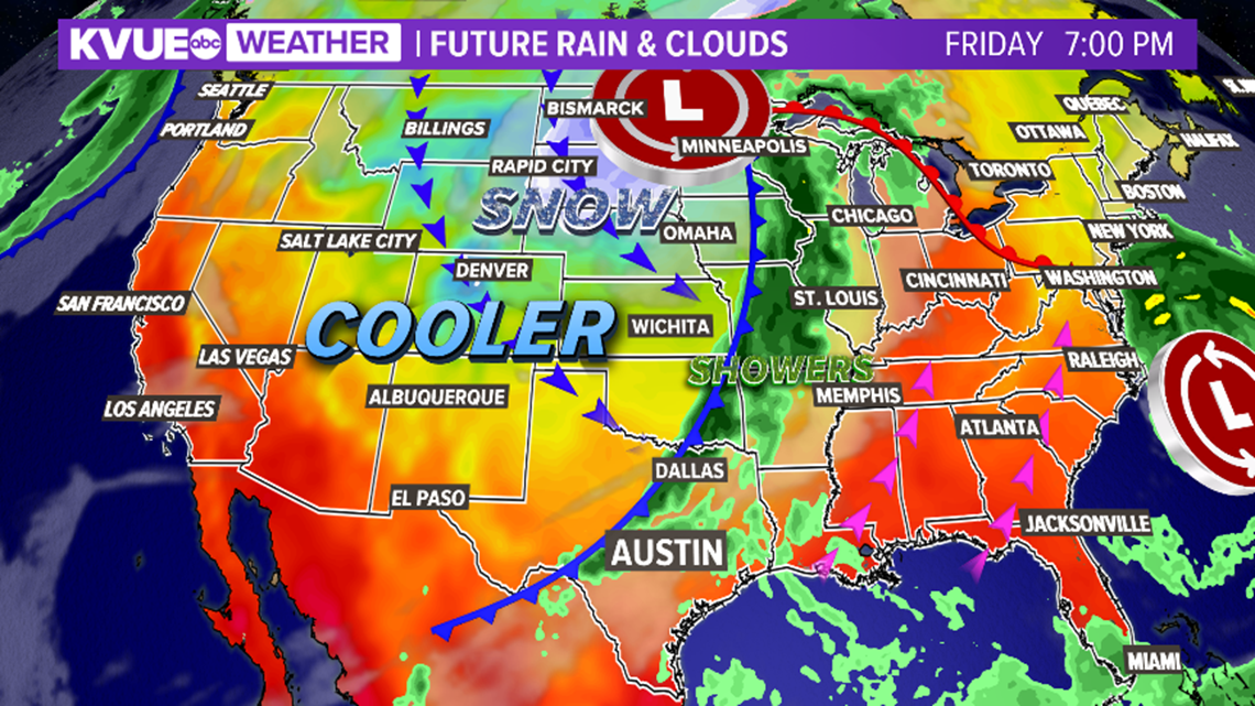
So, if you've been looking for that delicious taste of fall, even if you don't feel it per se in the daytime, you'll definitely experience if in the overnights and early hours of the morning this week.

Download KVUE's new app to get the latest updates on the weather and follow KVUE on Facebook, Twitter, YouTube and Instagram.
PEOPLE ARE ALSO READING:


