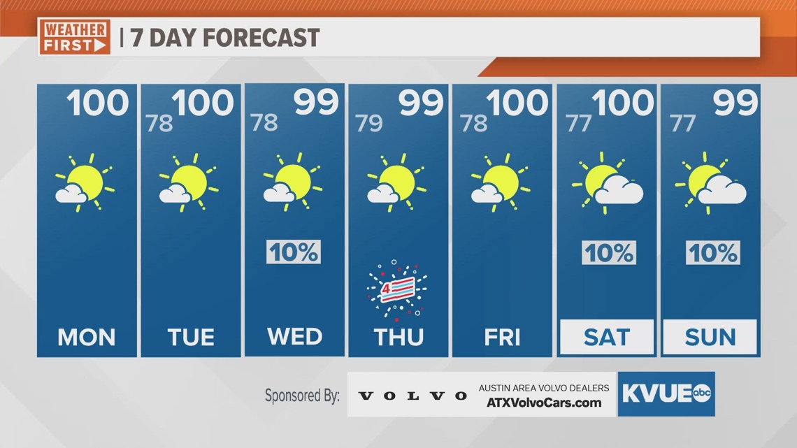
AUSTIN, Texas — As you start your workweek here in Central Texas, you may note a slight haze as you are out and about. This is due to the first significant plume of Saharan dust that has made its way across the Atlantic.

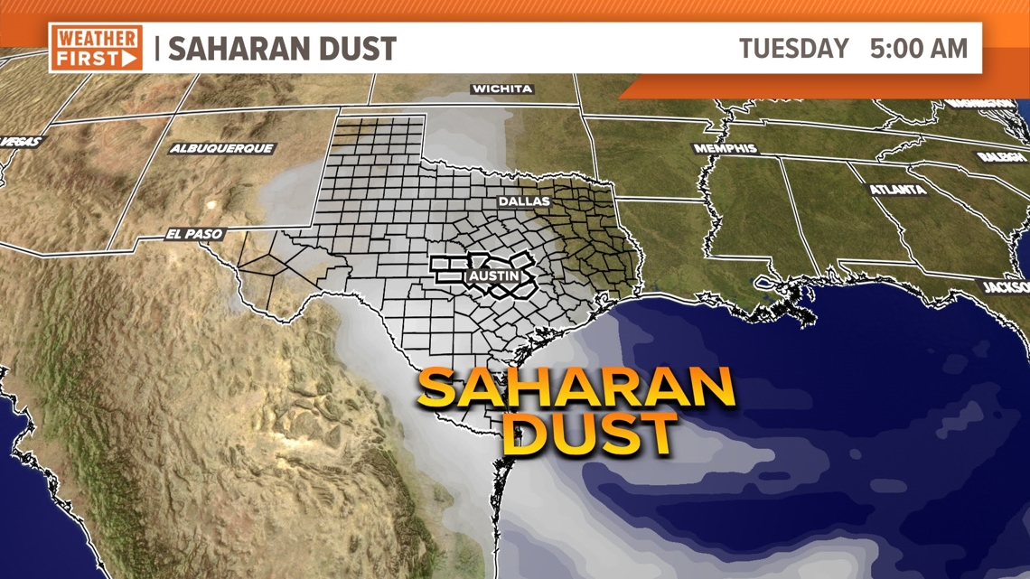
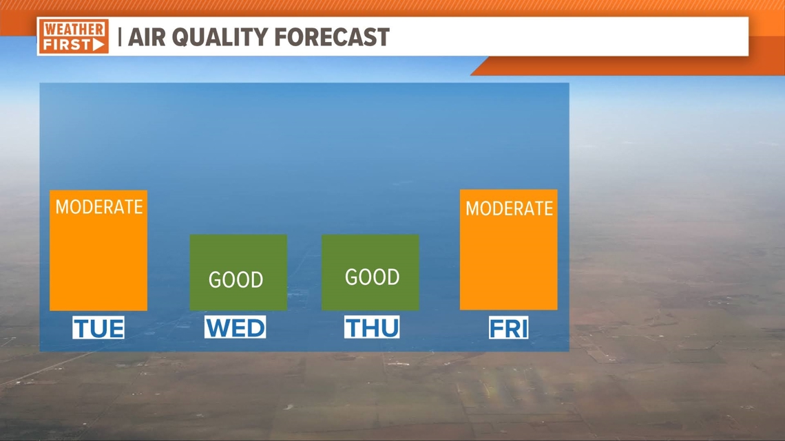
The haze is expected to linger throughout Monday and Tuesday but will dissipate more on Wednesday and Thursday (Independence Day).
For a majority of the population, the haze is welcomed, as dust particles actually help combat humidity in the atmosphere by absorbing moisture. But for a smaller population of Texans with respiratory problems, Saharan dust can be an issue.

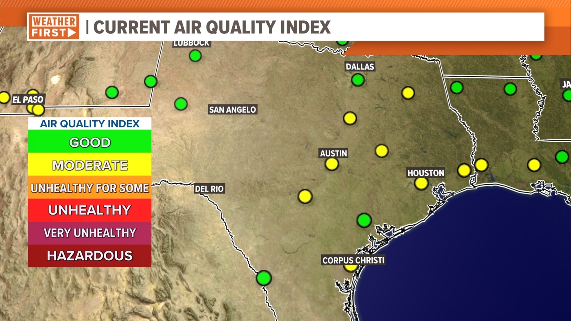
For Monday, the air quality index is in the "moderate" threshold. If you are sensitive to dust or air pollutants in general, limit your time outdoors for less exposure. Tuesday is forecast to be about the same in terms of air quality, but much of the dust is expected to dissipate by Wednesday to Thursday. This will mean the return of more humid conditions too.

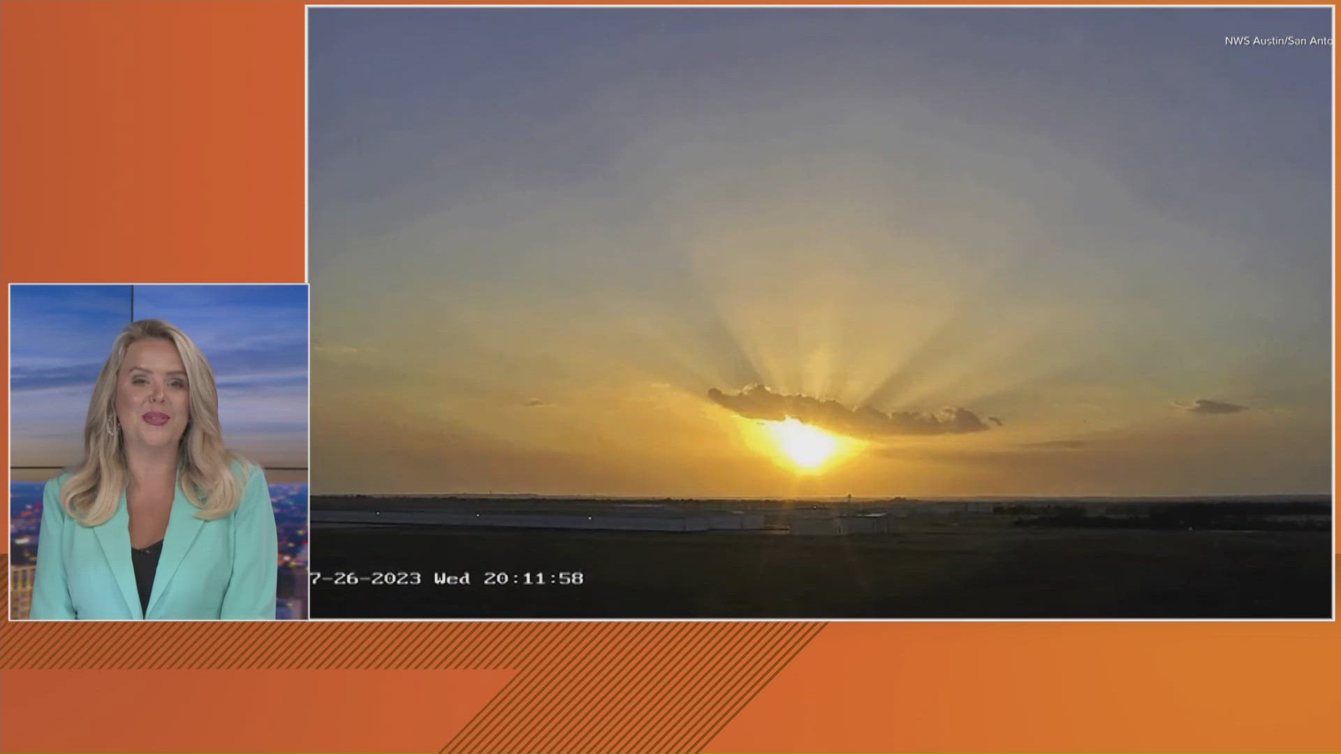
If you are not sensitive to the dust, you'll likely just notice it in the form of the beautiful sunrises and sunsets it produces. Below is a Saharan dust sunset captured by Brad Haag in 2020.
As the rays of sunlight pass through the atmosphere, it scatters the light, creating hues of red, orange and yellow. The dust, which is made up of iron oxides and minerals, enhances these colors even more.


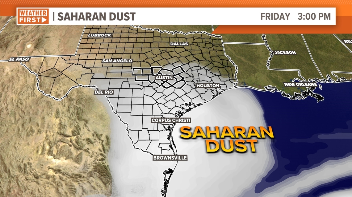
The forecast calls for another plume of dust entering the Gulf on Friday, which will linger into the upcoming weekend.

Hurricane Beryl is forecast to push towards the Yucatan Peninsula and Bay of Campeche by this weekend too. It is not yet known whether the storm is expected to restrengthen or travel further north to impact south or central Texas. The KVUE Storm Team will be updating the forecast accordingly throughout the next several days.

