AUSTIN, Texas — Happy Sunday! Morning clouds give way to partial clearing for Sunday afternoon as temperatures soar into the mid- and upper 80s. As opposed to Saturday, you'll notice the higher humidity on Sunday thanks to a warm front that moved through Sunday morning. This combo of warm and humid air will set the stage for the potential of a couple strong storms Sunday afternoon and evening.
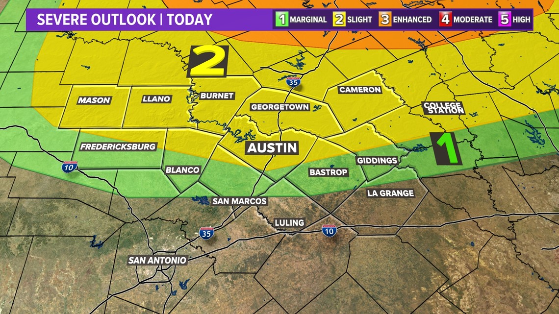
The latest update from the Storm Prediction Center now includes the Austin area and points north in the "slight" – level 2 of 5 – severe weather risk. The level 1 risk extends through southern portions of the KVUE area.

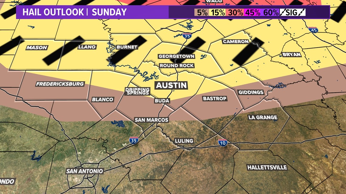
The main threat will be the potential for large hail. In fact, the SPC has added the "hatched" area for areas north of Austin where damaging hail will be possible. It's a good idea to keep the car protected on Sunday if you can, and make sure you have a way to get weather alerts if you'll be outdoors.

In addition to the hail, there could be strong winds, and we can't completely rule out a brief tornado. A Tornado Watch has been issued for parts of North and Central Texas until 11 p.m. Sunday. The only county in the KVUE viewing area included in that watch is Milam.
Timing is 3 p.m. to 10 p.m. Sunday. Again, most won't see storms on Sunday, with the overall storm chance around 30% and heavily favoring areas across the northern Hill Country and northern Interstate 35 corridor.

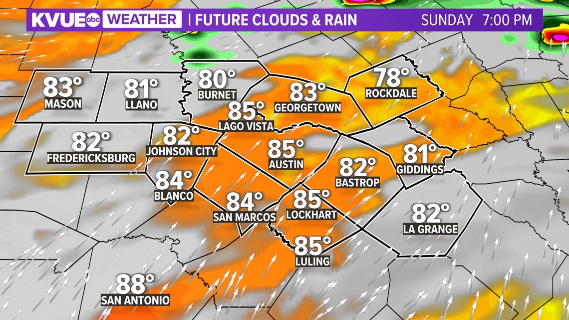
The KVUE Storm Team will continue to closely monitor this developing forecast.
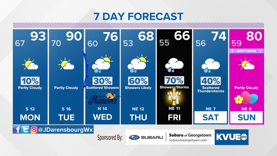
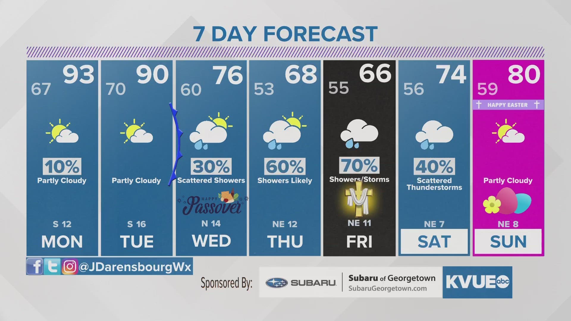
In the meantime, the extended forecast can be found below:

