AUSTIN — While it doesn't happen all too often, wintry precipitation does make it's way to Central Texas on occasion. And, as you know, it can effectively bring our entire community to a standstill.
As meteorologists, more times than not it's not as simple as saying precipitation will fall as rain or snow.
When temperatures are right around the 32-degree mark, precipitation can fall in all types of ways: Sleet, graupel, freezing rain, flurry, etc. But don't worry, we're here to explain the differences.
Remember, temperatures aren't the same on the ground as they are hundreds of feet up in the sky. While temperatures may be below 32 degrees at your house, above it, that may not be the case.
Let's tackle the simplest one first, a flurry. What does that mean?
A flurry is a very light snowflake that doesn't accumulate on the ground. Simple as that.
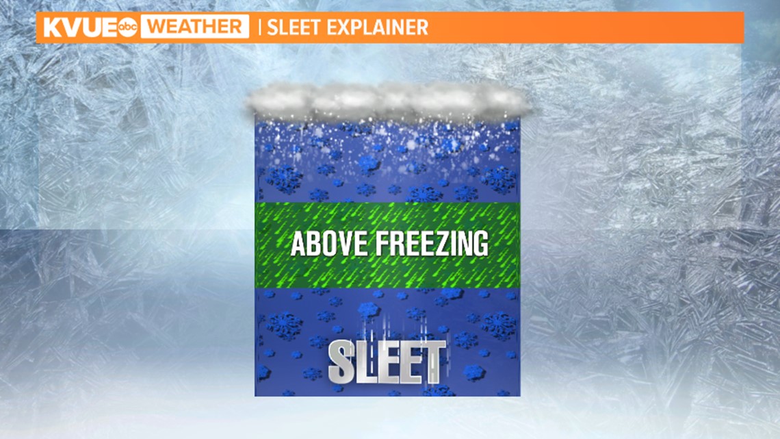
Sleet occurs when temperatures are at or below freezing on the ground, but a column of air is above freezing above the ground. A snowflake will melt into water, then refreeze into a small ball of ice as it hits the ground.


Let's move onto graupel. High up in the atmosphere, temperatures are below freezing (even in the summer). As a snowflake falls, supercooled water droplets can freeze on the flake. When hitting the ground, it's often times confused with hail, but the difference is graupel is softer and falls apart.
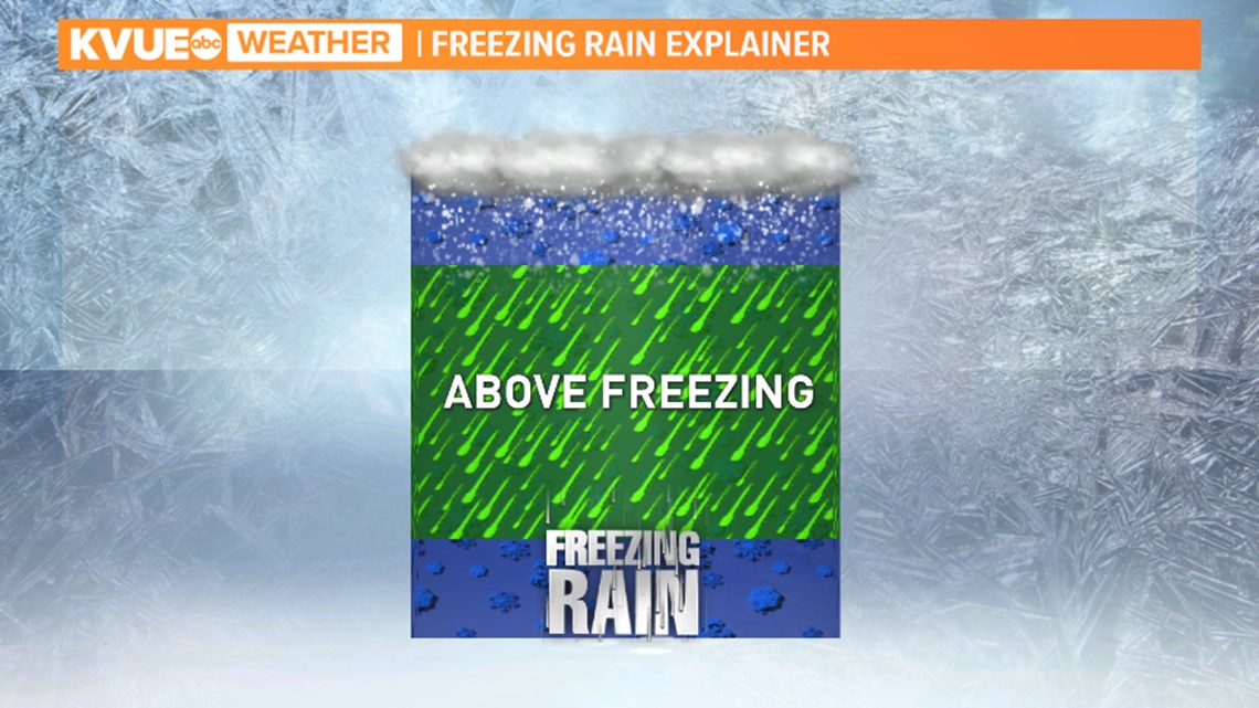
Finally, let's tackle freezing rain or sometimes referred to as ice. It looks, and is identical to regular rainfall. However, the difference is when the ground is below freezing, that rain will freeze on contact to surfaces such as roads (especially bridges and overpasses), sidewalks, trees, etc.


Ice is oftentimes the most destructive and dangerous wintry precipitation because it's hard to see and it looks just like regular rain.


