

AUSTIN, Texas — With the kickoff of Spring 2019 already underway, we tip our hats and bid farewell to Old Man Winter.
As the threat for severe weather increases from week to week through the peak in May, many of us wonder what the forecast will be for the region.
First, let's take a look back at the winter season, December 2018 through February 2019, to help us look ahead to the upcoming season.
Austin Camp Mabry recorded its 24th warmest winter with five freezing days. Austin Bergstrom International Airport (ABIA) recorded ts 34th warmest winter with 12 freezing days. Much of this "warmth" was due to relatively warmer than normal overnight lows.
We all remember those overcast, misty and drizzly days experienced this past winter. Because of that, there as not enough precipitation accumulated to rank high in terms of wettest winters. It was the 23rd wettest winter at Camp Mabry and 13th wettest winter at ABIA.
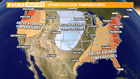
Peak severe season occurs in May and as the days and weeks pass, our threat will increase. Our biggest threats during severe season for Central Texas come in the form of hail, wind, and yes, tornadoes. On top of that, historically, our greatest threat has always been flash flooding, making May our wettest month.
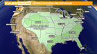
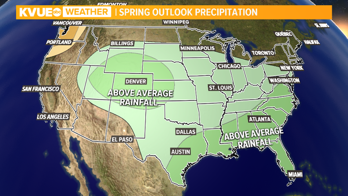
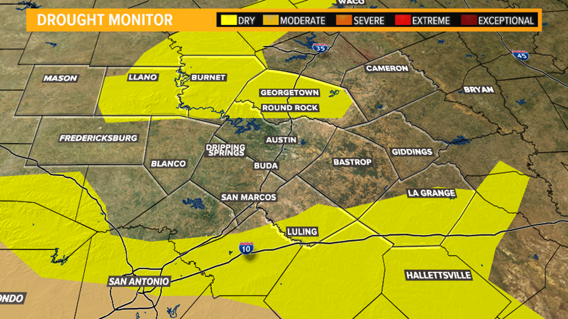
Given a current weak El Nino, research suggests less frequency of tornadoes and hail events this spring but above normal impacts from heavy rain. There are some factors to keep in mind: some areas of drought have begun to increase across Central Texas; however, the Highland Lakes are still performing at or near full capacity still from the flooding of October 2018.
This could have some adverse effects on how much rainfall is accumulated this season and then moved down through the lakes during peak season. It only takes one high impact event to cause devastating effects.

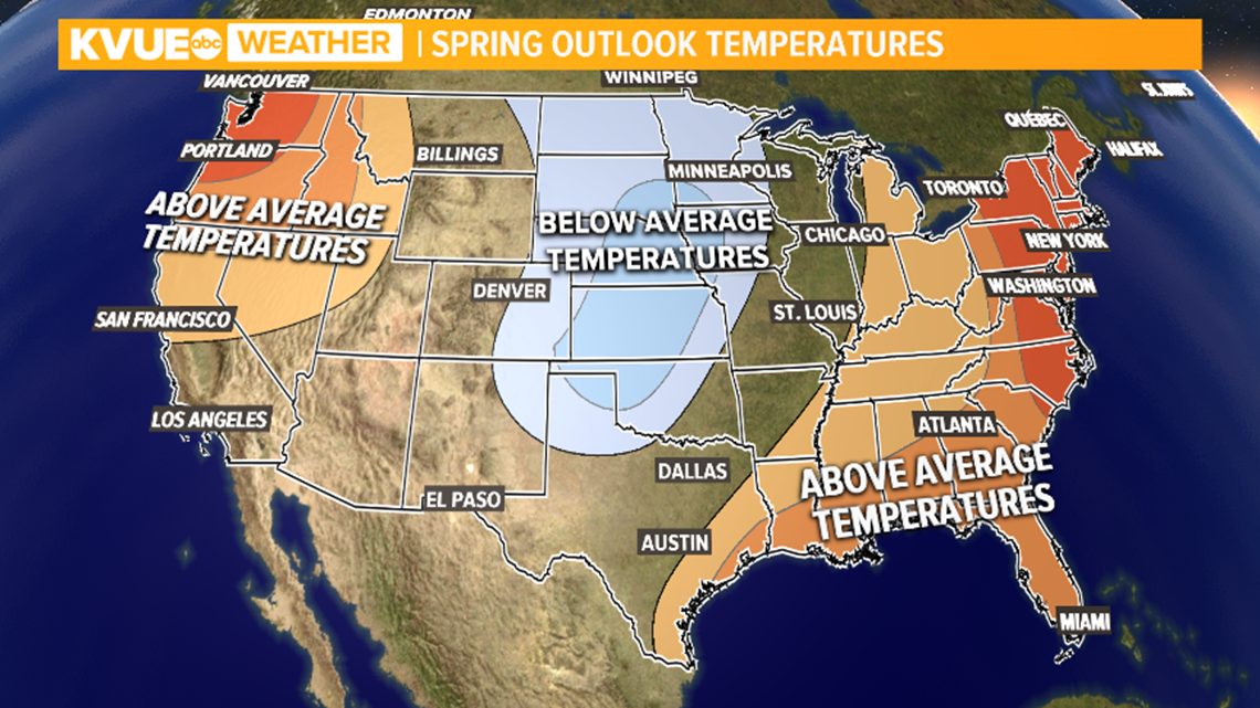
Temperatures are expected to perform near normal for Central Texas. Fire weather is expected to be slightly below normal, but periods of elevated to critical fire risk will still exist, especially following a strong cold front with dry winds in its wake.
As with any severe weather event, we urge you to have a plan in place that can quickly and efficiently be executed for the safety of you and your loved ones.
