Editor's note: This weather blog is no longer updating. Severe storms have moved out of the Austin area. For a look at the updating forecast, click here.
The timeline for storms across Central Texas
The widespread rain and storms moved into Central Texas at about 3 or 4 a.m. Wednesday morning.
Activity initially moved in across the Hill Country early Wednesday morning.
By 6:30 a.m. the storms moved over the I-35 corridor.
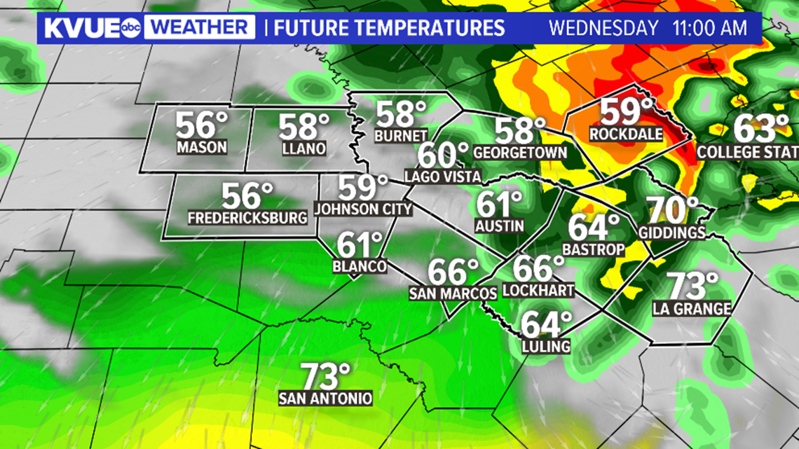
Widespread rain and storms will push east of the I-35 corridor by 8 a.m. on Wednesday.
The chance for a few of the embedded storms to be strong will continue through the duration of the morning.

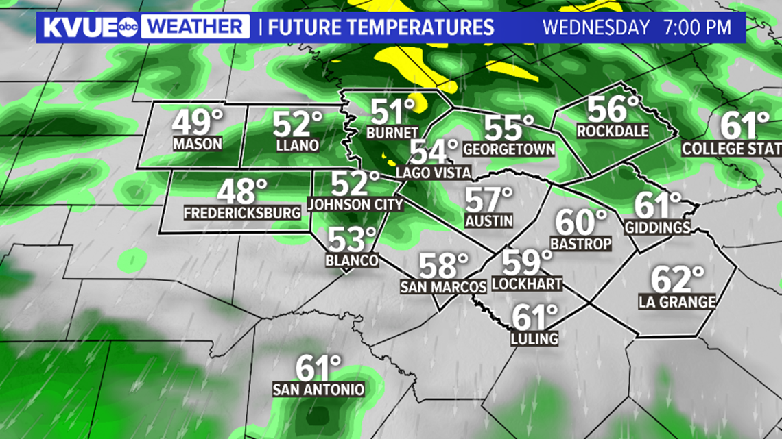
Storm chances will then diminish after about lunchtime on Wednesday, but lingering scattered showers may continue as late as Wednesday evening.
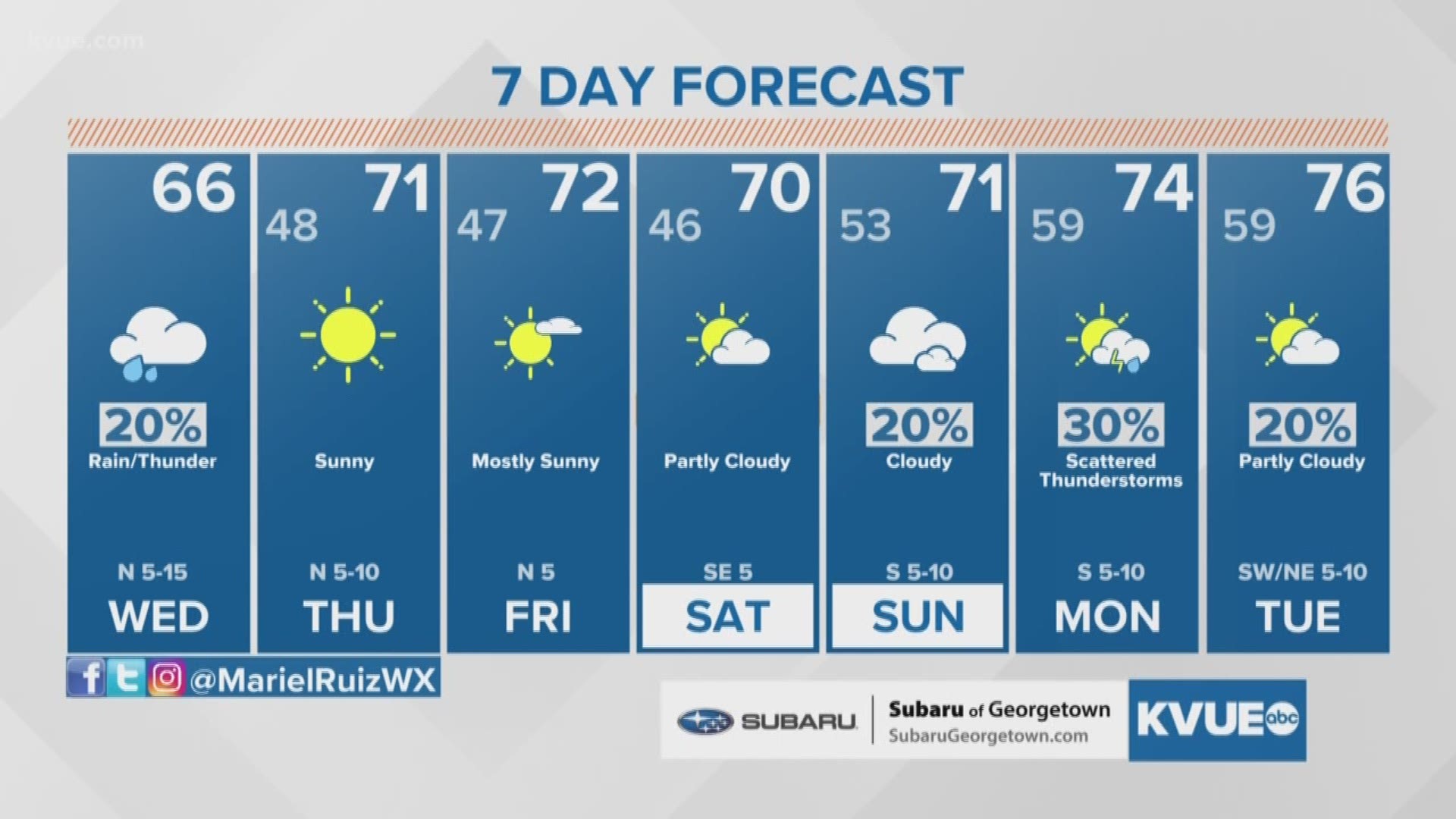
By Thursday morning the rain will be gone, and drier weather will return to Central Texas.

The potential storm threats for Central Texas
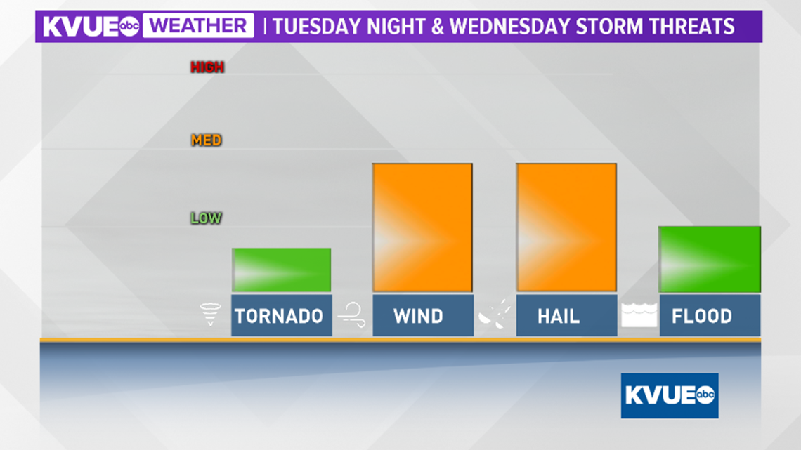
Any of the embedded thunderstorms Wednesday morning will be capable of gusty winds, hail, and torrential rain. The tornado threat with this storm system remains very low.
With the potential for heavy rain, there will also be a minor flood threat, especially for areas across the Hill County where localized heavy downpours will be possible.

For those localized areas, rainfall totals in excess of 1.5 inches cannot be ruled out. Again, this will provide a minor flooding risk.
More widespread totals in excess of one inch are expected for much of the area, especially north of Austin.


The KVUE Storm Team will continue to monitor this developing forecast. Stay up to date on the weather by downloading KVUE's app: kvue.com/app. Also be sure to follow KVUE on Facebook, YouTube, Twitter and Instagram.
PEOPLE ARE ALSO READING:

