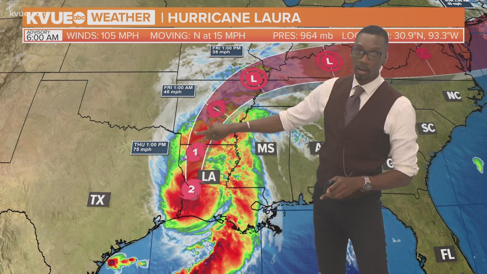
CAMERON, La. — Laura officially made landfall near Cameron, Louisiana, around 1 a.m. Thursday as a strong Category 4 hurricane with winds of 150 mph and a minimum pressure of 938 millibars.
Laura is now one of 10 hurricanes on record to make landfall in the U.S. with winds of 150 mph or higher and the second of this strength to hit Louisiana since records began in 1851. The only other time a hurricane with winds of 150 mph or higher made landfall in Louisiana was the "Last Island Hurricane" in 1856.
Laura is now the fourth Category 4 hurricane to make landfall in Louisiana. No Category 5s have been recorded:
- Last Island (1856-150 mph winds),
- Chenier Caminanda (1893-130 mph winds), and
- Betsy (1965-130 mph winds).
For context, Katrina was a Category 3 when it made landfall in August 2005.
RELATED:
Laura's quick intensification broke records as well. The fast drop in central pressure and rapid wind speed increase tied for the fastest intensification in 24 hours for a tropical cyclone in the Gulf of Mexico since Karl in 2010.
This brought Laura to be the strongest hurricane in the Gulf of Mexico since Michael, with a max wind speed of 162 mph, in 2018. Laura was also the strongest August hurricane in the Gulf of Mexico since Katrina.
There is no doubt that the 2020 hurricane season has been an active one. Laura is the seventh named storm to make landfall in the U.S. this year. The previous record for named storms to make landfall in the U.S. by the end of August was six in 1886 and 1916.
So far this year, the named storms to make landfall in the U.S. are Bertha, Cristobal, Fay, Hanna, Isaias, Marco and now Laura.

