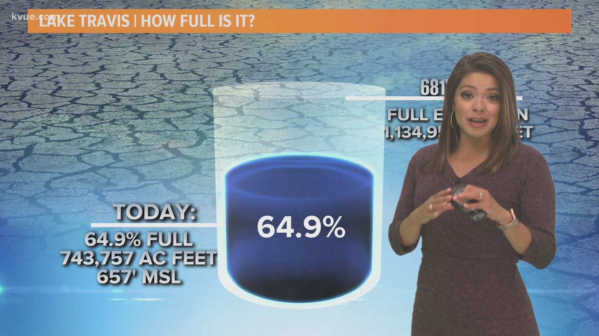
AUSTIN, Texas — The mean water level on Lake Travis is 657 feet above sea level, or 64.5% full, down from the same time a year ago.
At this time in 2020, the lake level was at 88.6% full, following a wet winter. The lake level has remained more or less steady in the past six months, but a sharp drop from 88.6% to 69.6% was noted from April 2020 to October 2020. Similar levels to the levels recorded now were seen in October of 2018.
The KVUE Storm Team reports that we have had a dry year so far with only 5.11 inches of rain recorded, which puts us about 3.23 inches below the average rainfall. Currently, Travis County is under a moderate drought stage.
Historically, March through June is when lake levels are highest.
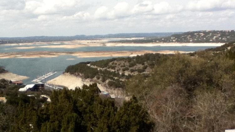
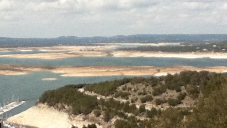
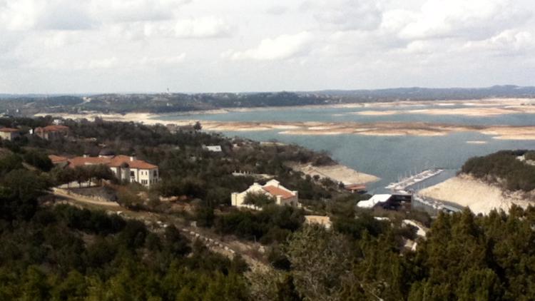
When the lake levels drop, "Sometimes Island" can appear on Lake Travis. Records for Lake Travis go back to October of 1942, but Sometimes Island was established in the 1950s after a stretch of prolonged drought.
The month of August is, on average, the lowest month for water levels. The lowest it has ever been was in August of 1951 when the lake levels were recorded at 614.18 feet above sea level.
The historical maximum was December 1991 when levels reached 710.44 feet above sea level.
PHOTOS: Sometimes Island on Lake Travis over the years
PEOPLE ARE ALSO READING:


