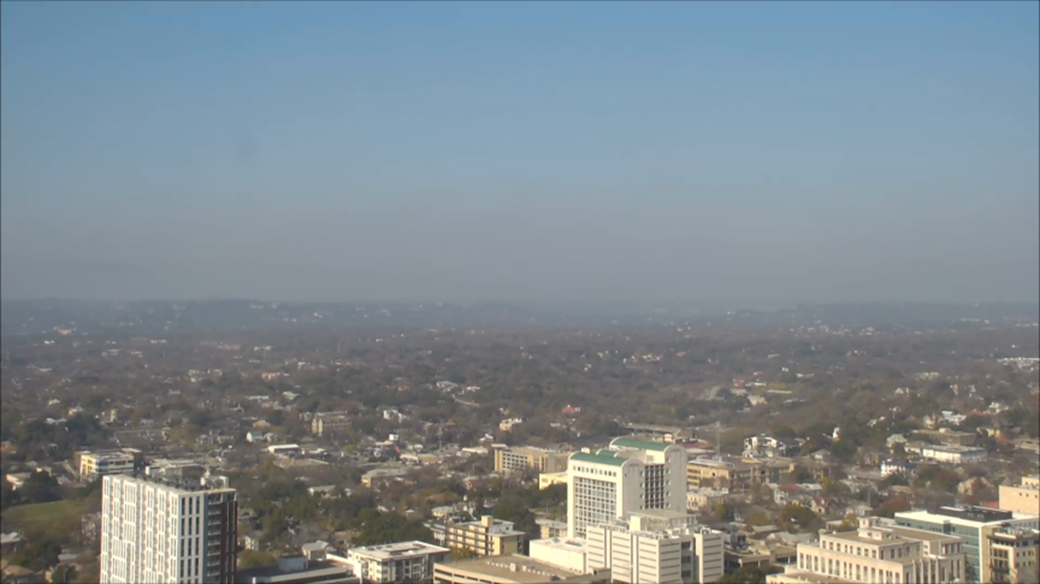
AUSTIN, Texas — Have you noticed the hazy conditions in Austin this afternoon? That's not fog or cedar pollen blowing around – it's pollution.


On a typical day, the temperature in the atmosphere would decrease as you go up in height. Today, the air is actually getting warmer as you go above the ground level. This is what we call a "temperature inversion." The warmer air aloft can trap ground-level ozone and other pollutants near the surface, creating the hazy conditions like we have today.


Here's a look at weather balloon data taken this morning in Del Rio, Corpus Christi and Fort Worth. All three sites show temperatures increasing with height just above the surface.


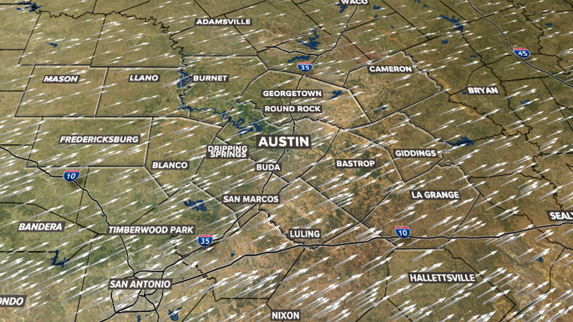
So why do we have a temperature inversion today? Two factors, the first being this morning's fog. Low clouds and fog kept the surface cooler, while the air above it warmed up. At the same time, a westerly wind above the surface was bringing in a dry and warmer breeze just a few thousand feet above us.


A south wind will eventually warm the surface more than the air above us, allowing for the haze to gradually disappear later this afternoon.
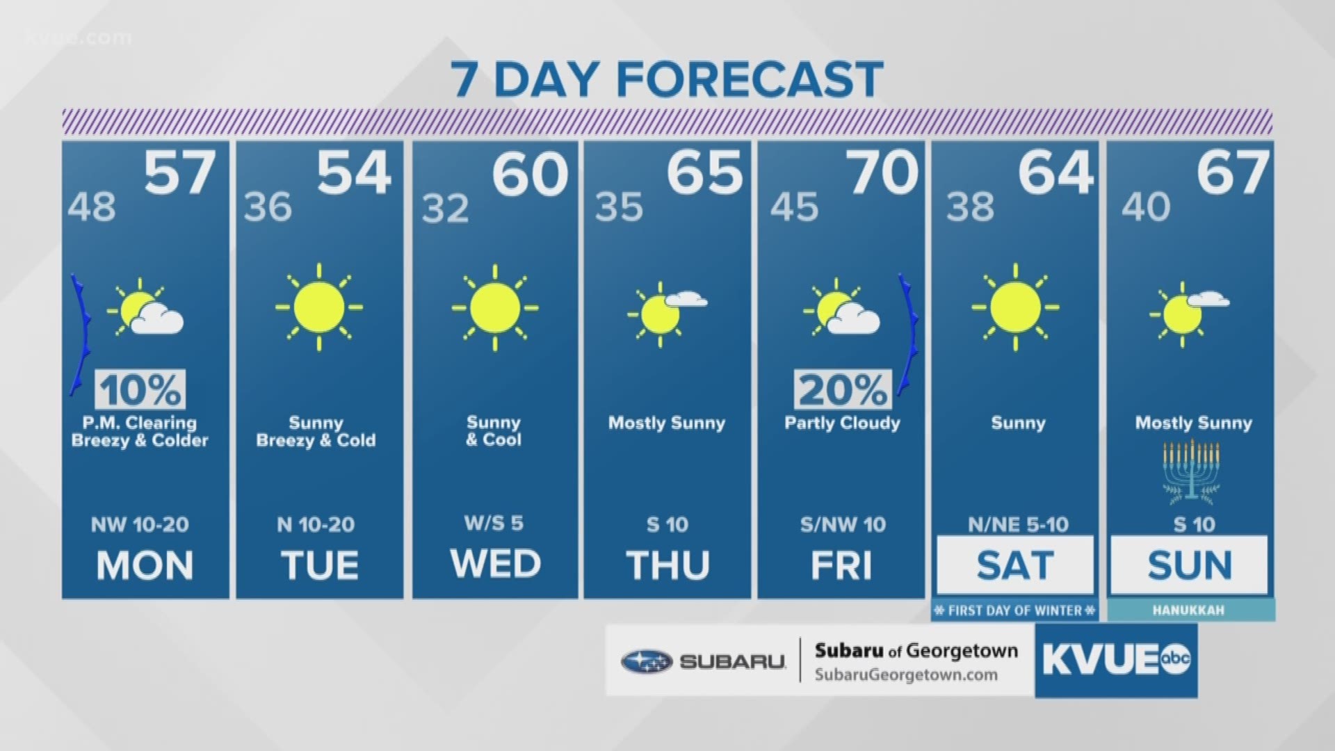
No haze is in the forecast for Monday, thanks to a strong cold front moving in with colder air and windy conditions.
PEOPLE ARE ALSO READING:

