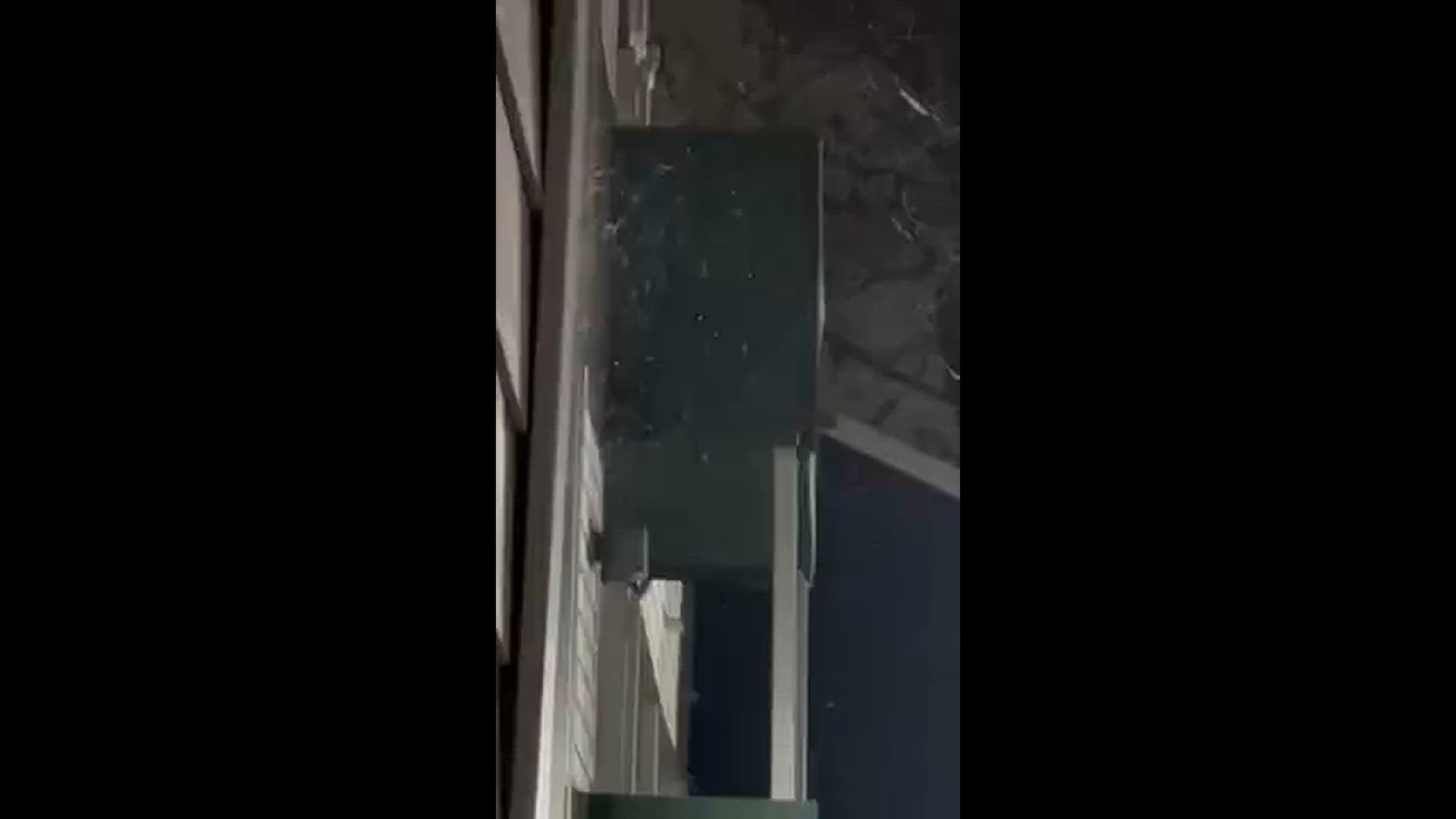
AUSTIN, Texas — It has been a very interesting morning across Central Texas, with some areas not only reporting freezing rain but even some lake-effect snows from Lakes Travis and Walter E. Long!
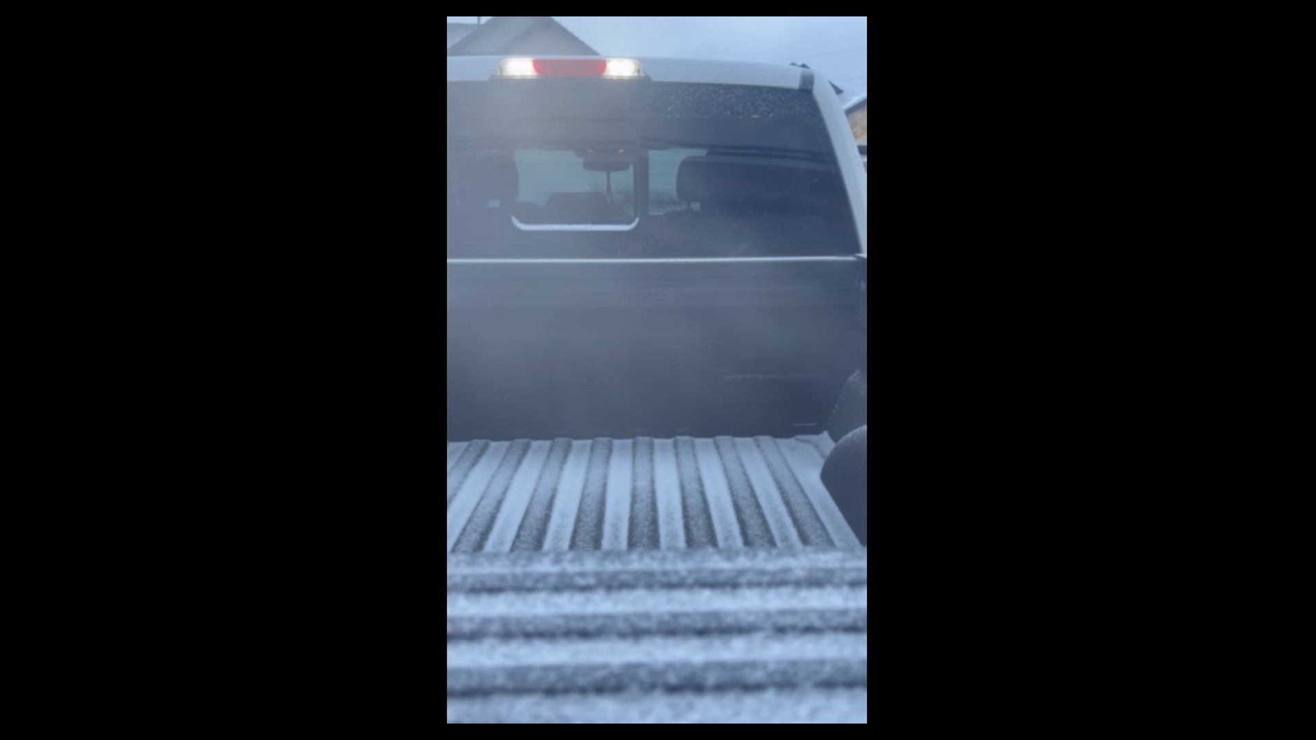
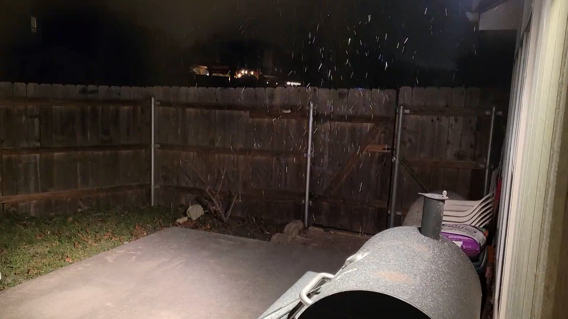
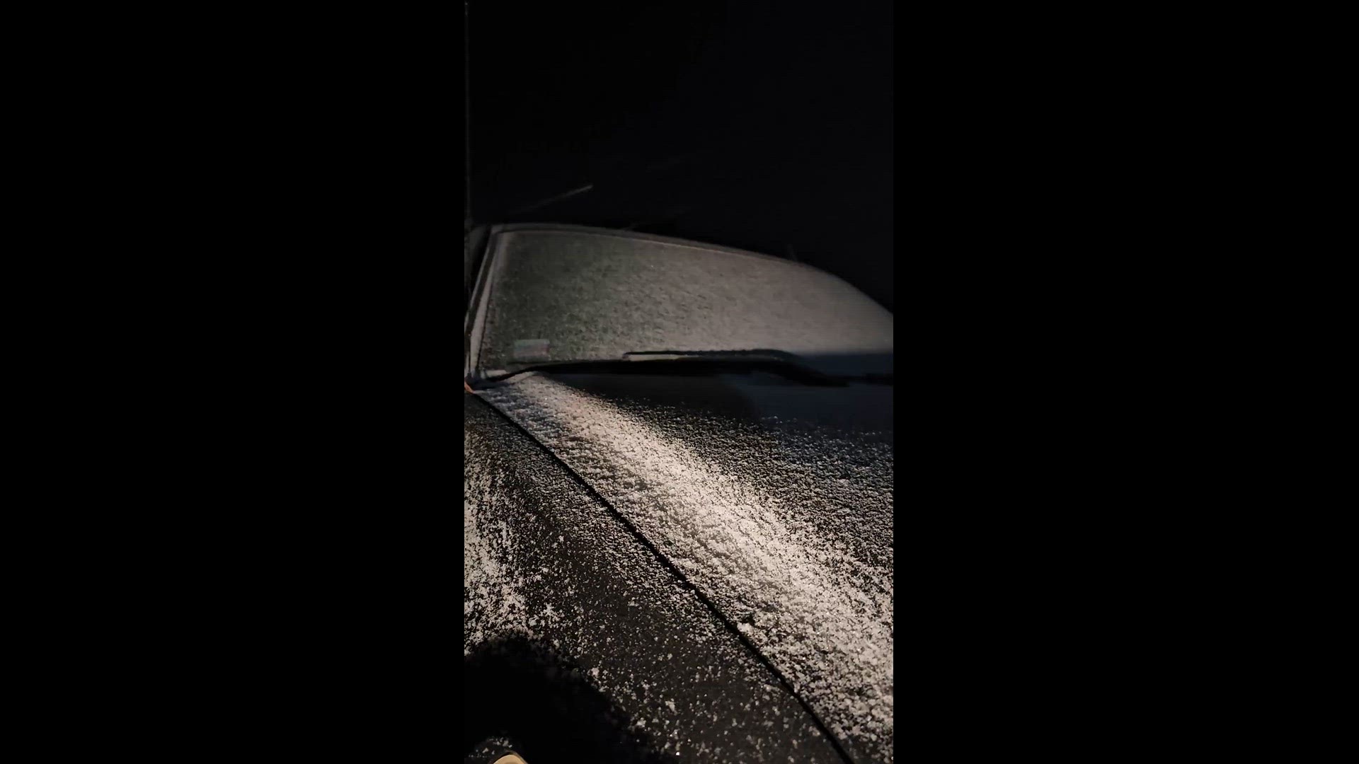
Many KVUE viewers have sent photos of what they've seen so far. Here's a timeline of some of what they've shared:
11:06 a.m. – Elisabeth Tharp shared this video from Leander.
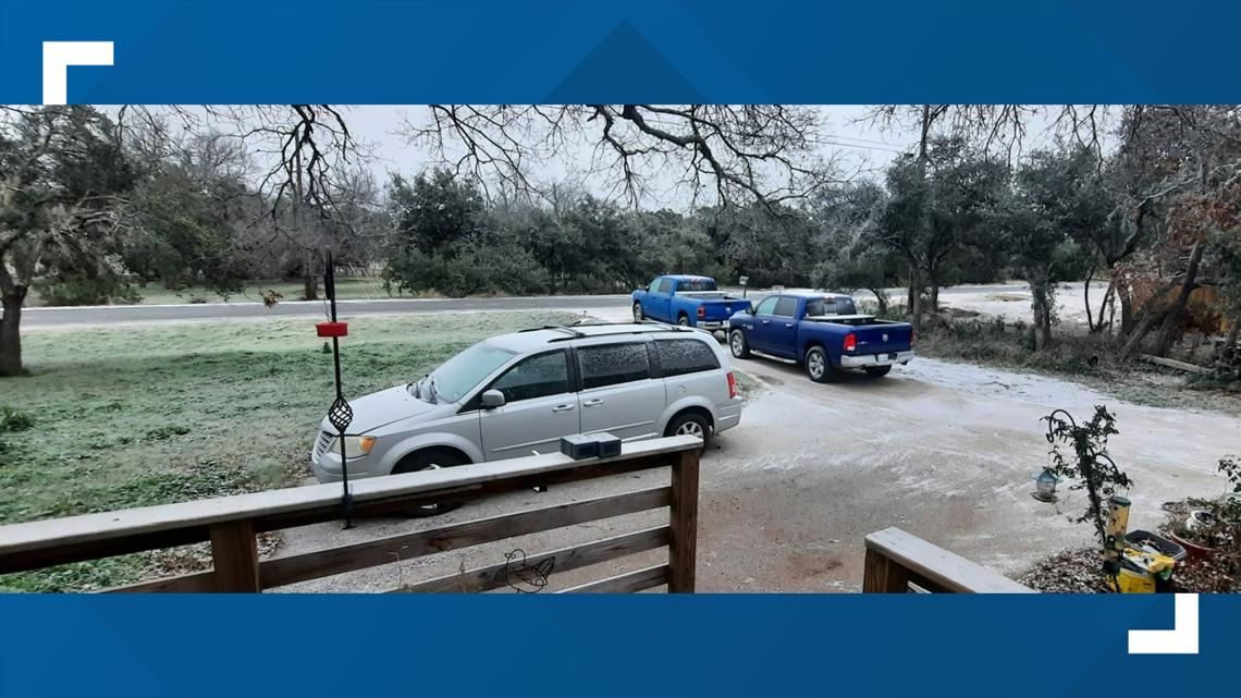
8:26 a.m. – Carol shared a photo of ice in her Kyle front yard.

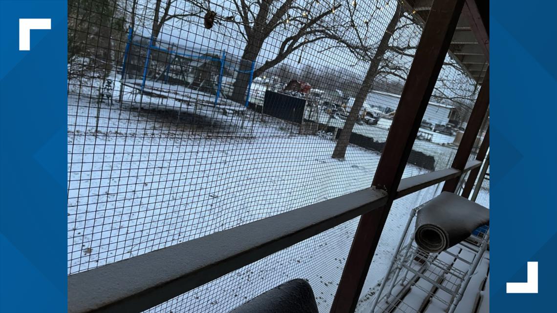
8:19 a.m. – A light dusting of snow can be seen in West Cedar Park on New Hope Drive in this photo shared by Jim Kinter of the Williamson County ARES.

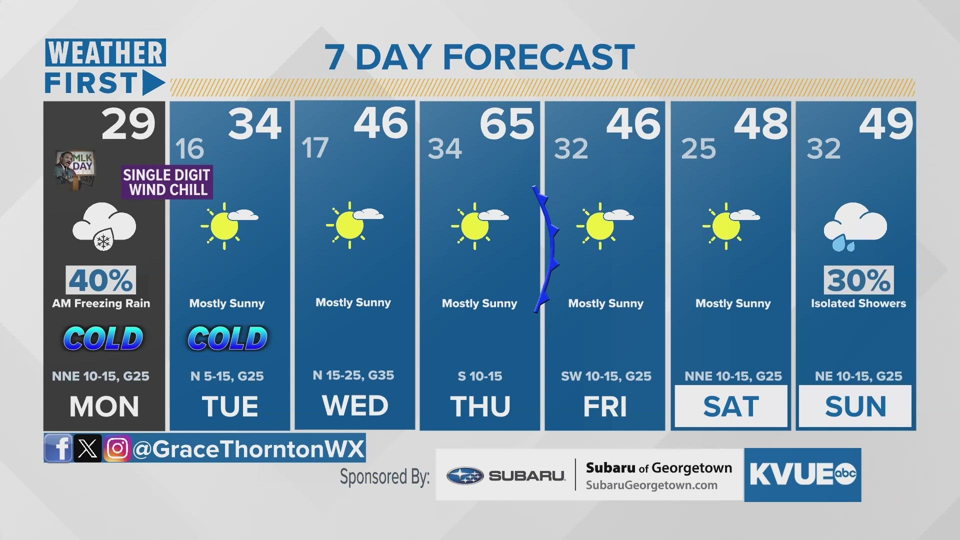
RELATED: Texas freeze: Monday morning wintry precipitation, extreme cold overnight | What to expect and when
7:56 a.m. – KVUE Chief Meteorologist Hunter Williams shared a video on X, the platform formerly known as Twitter, of the lake-effect snow from Walter E. Long Lake as he and his wife prepared to travel to their honeymoon.
6:44 a.m. – Greg Schuck shared a clip of what appeared to be flurries in Pflugerville.
6:35 a.m. – Shannon Holland shared this video of the winter weather in Burnet.
6:20 a.m. – Jim Buchanan and Debbie Mitchell of Liberty Hill shared icy pics from their neighborhoods.

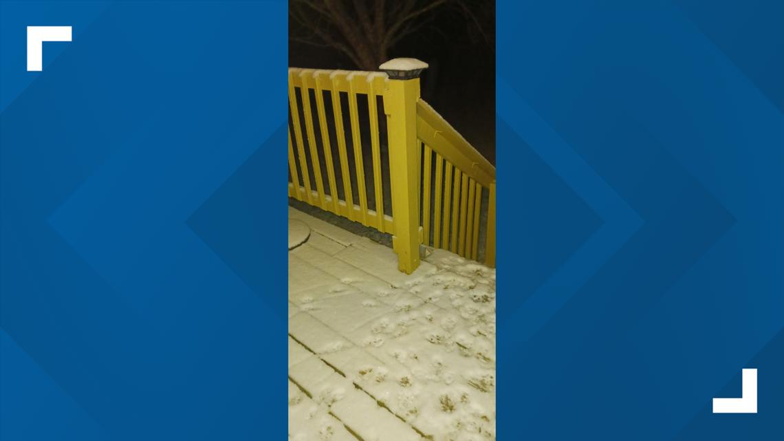

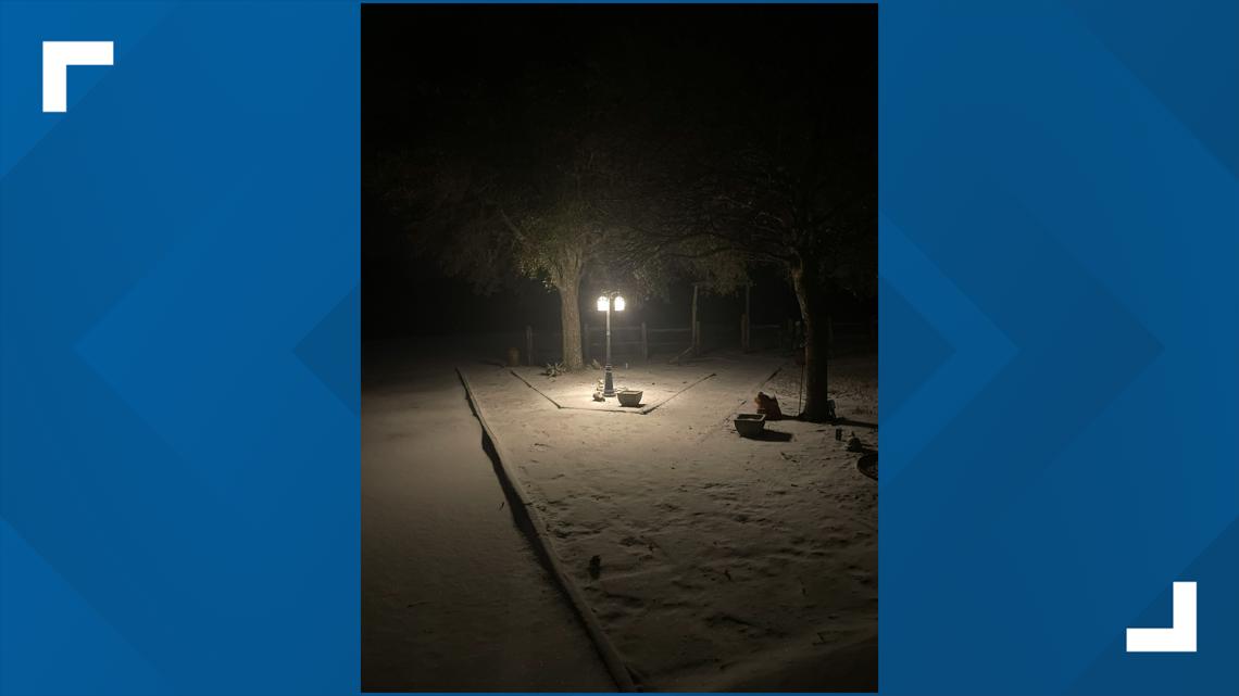
6:08 a.m. – Roads in Hutto iced over, as shown in this photo shared by Jake Isbell with the City of Hutto Emergency Management.

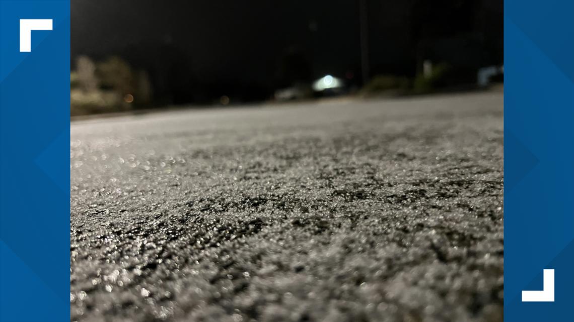
6:02 a.m. – Joseph Goff shared this photo of ice in Kingsland, Texas, located in Llano County.

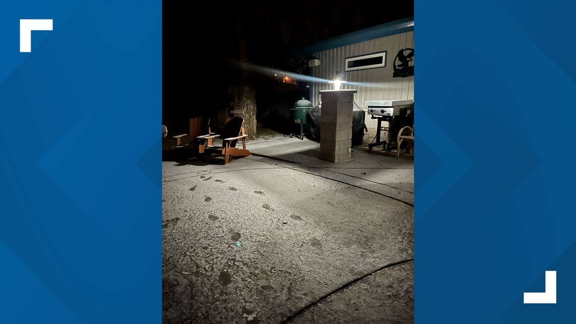
4:12 a.m. – Star and D Henderson shared this video of precipitation falling near Westwood High School in Austin.

