AUSTIN, Texas — Editor's note: This article is no longer being updated.
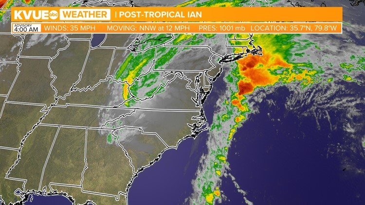
Ian made landfall in South Carolina Friday afternoon as a Category 1 hurricane and weakened into a Post-Tropical Cyclone.
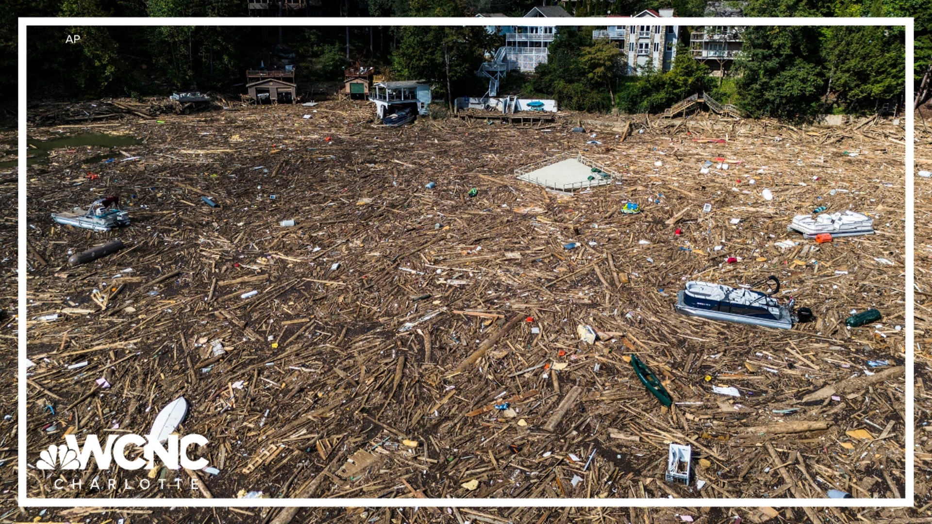
It will continue to weaken over the weekend and bring rain and storm surge to areas in the Mid-Atlantic.

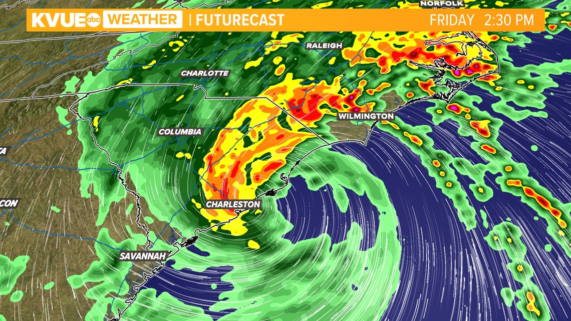
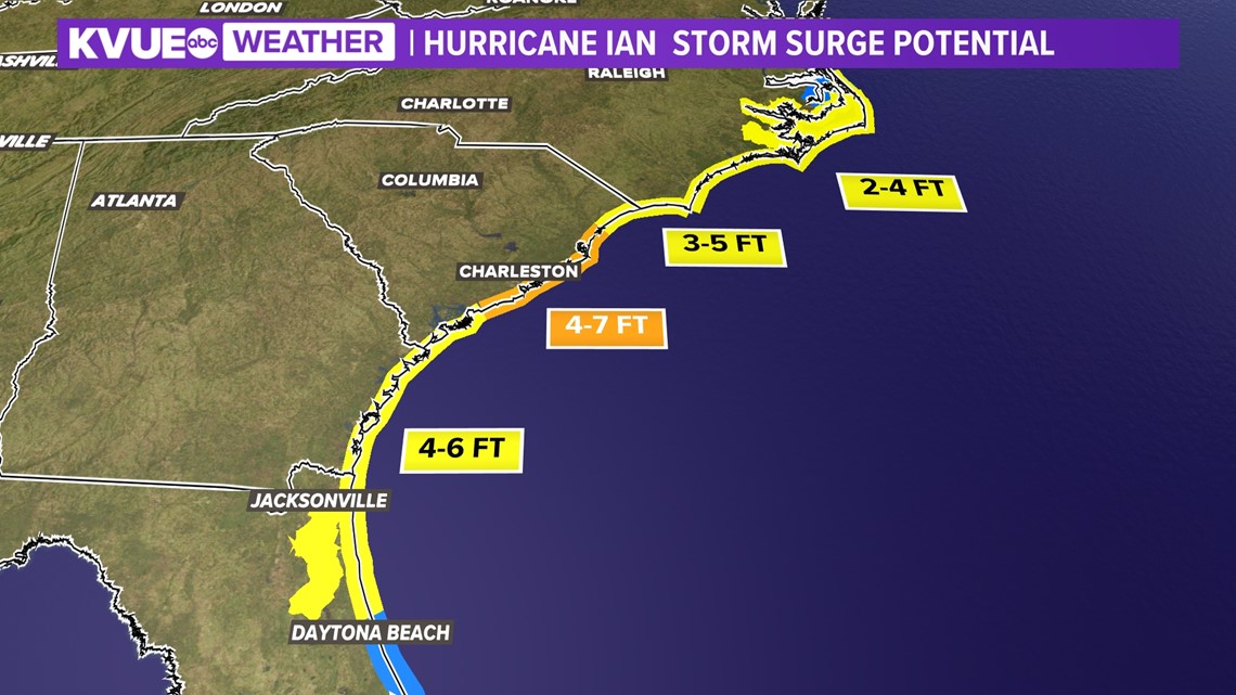
While the storm surge threat won't be nearly to the extent of what it was for southwest Florida, Ian will still bring a storm surge threat from South Carolina up to the Outer Banks.
The Charleston area could see storm surge on the order of four to seven feet.

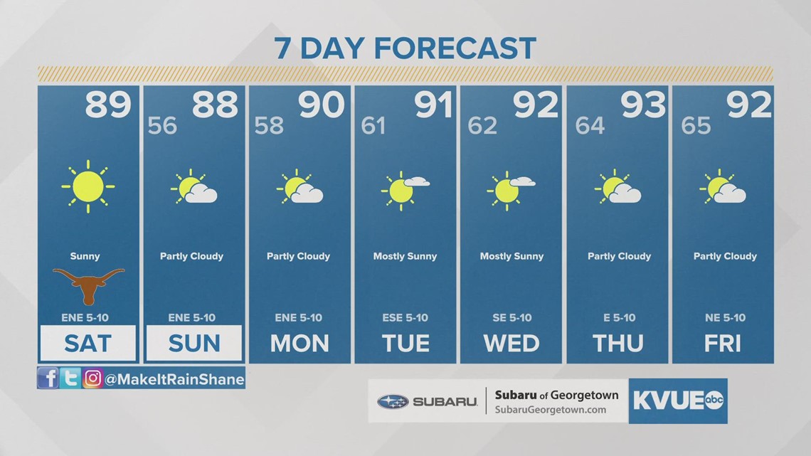
Here in Texas, the counterclockwise circulation around Ian is indirectly reinforcing a dry northeast breeze through the weekend. Humidity will stay low and rain chances will be non-existent.
The KVUE Storm Team will continue to closely monitor this developing forecast.
In the meantime, the extended forecast can be found below:

PEOPLE ARE ALSO READING:


